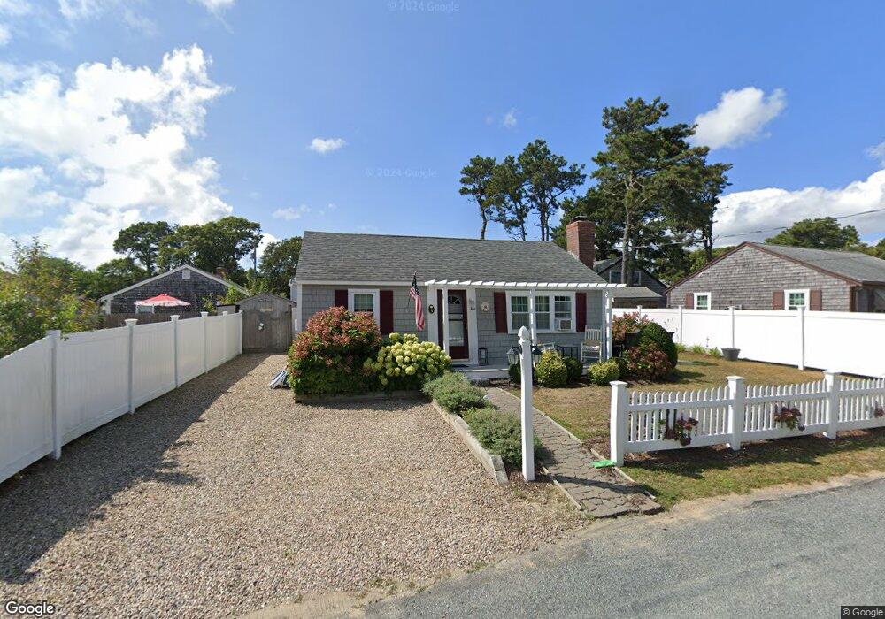
5 Cranberry Ln Dennis Port, MA 02639
Dennis Port NeighborhoodEstimated Value: $409,000 - $541,000
2
Beds
1
Bath
720
Sq Ft
$692/Sq Ft
Est. Value
About This Home
This home is located at 5 Cranberry Ln, Dennis Port, MA 02639 and is currently estimated at $498,073, approximately $691 per square foot. 5 Cranberry Ln is a home located in Barnstable County with nearby schools including Dennis-Yarmouth Regional High School and St. Pius X. School.
Ownership History
Date
Name
Owned For
Owner Type
Purchase Details
Closed on
Jan 29, 2014
Sold by
Saraf Paul R
Bought by
Paul R Saraf Ret
Current Estimated Value
Create a Home Valuation Report for This Property
The Home Valuation Report is an in-depth analysis detailing your home's value as well as a comparison with similar homes in the area
Home Values in the Area
Average Home Value in this Area
Purchase History
| Date | Buyer | Sale Price | Title Company |
|---|---|---|---|
| Paul R Saraf Ret | -- | -- |
Source: Public Records
Mortgage History
| Date | Status | Borrower | Loan Amount |
|---|---|---|---|
| Previous Owner | Paul R Saraf Ret | $56,000 |
Source: Public Records
Tax History Compared to Growth
Tax History
| Year | Tax Paid | Tax Assessment Tax Assessment Total Assessment is a certain percentage of the fair market value that is determined by local assessors to be the total taxable value of land and additions on the property. | Land | Improvement |
|---|---|---|---|---|
| 2025 | $1,967 | $454,300 | $188,300 | $266,000 |
| 2024 | $1,810 | $412,200 | $181,100 | $231,100 |
| 2023 | $1,750 | $374,700 | $164,600 | $210,100 |
| 2022 | $1,692 | $302,200 | $148,300 | $153,900 |
| 2021 | $3,326 | $291,600 | $166,200 | $125,400 |
| 2020 | $1,581 | $259,100 | $145,400 | $113,700 |
| 2019 | $1,510 | $244,800 | $142,600 | $102,200 |
| 2018 | $2,910 | $229,700 | $135,700 | $94,000 |
| 2017 | $1,334 | $216,900 | $126,000 | $90,900 |
| 2016 | $1,394 | $213,400 | $135,700 | $77,700 |
| 2015 | $1,366 | $213,400 | $135,700 | $77,700 |
| 2014 | $1,232 | $194,000 | $116,300 | $77,700 |
Source: Public Records
Map
Nearby Homes
- 31 Easy St
- 22 Wixon Rd
- 22 Ferncliff Rd
- 19 Standish Way
- 72 Bassett Ln
- 37 Beach Hills Rd
- 37-A Beach Hills Rd
- 80 Michaels Ave
- 262 Old Wharf Rd Unit 67
- 262 Old Wharf Rd Unit 5
- 262 Old Wharf Rd Unit 5
- 262 Old Wharf Rd Unit 20
- 262 Old Wharf Rd Unit 87
- 102 Sea St
- 4 Coffey Ln
- 268 Main St
- 125 Main St Unit 3
- 241 Old Wharf Rd Unit 82
- 241 Old Wharf Rd Unit 127
- 241 Old Wharf Rd Unit 90
- 3 Cranberry Ln
- 7 Cranberry Ln
- 8 Holiday Ln
- 10 Holiday Ln
- 6 Holiday Ln
- 0 Shad Hole Rd Unit 2008689
- 0 Shad Hole Rd Unit 2007465
- 0 Shad Hole Rd Unit 2005562
- 0 Shad Hole Rd Unit 8042398
- 0 Shad Hole Rd Unit 9902951
- 0 Shad Hole Rd Unit 1 9906745
- 0 Shad Hole Rd Unit 8043546
- 0 Shad Hole Rd Unit 7034225
- 0 Shad Hole Rd Unit 4
- 2 Cranberry Ln
- 12 Holiday Ln
- 3 Toms Path
- 16 Toms Path
- 2 Toms Path
- 6 Cranberry Ln