5 Cranberry Ln Unit 5 Middleton, MA 01949
Estimated Value: $299,440 - $720,000
2
Beds
3
Baths
2,600
Sq Ft
$216/Sq Ft
Est. Value
About This Home
This home is located at 5 Cranberry Ln Unit 5, Middleton, MA 01949 and is currently estimated at $560,860, approximately $215 per square foot. 5 Cranberry Ln Unit 5 is a home located in Essex County with nearby schools including Howe-Manning Elementary School, Fuller Meadow Elementary School, and Masconomet Regional Middle School.
Ownership History
Date
Name
Owned For
Owner Type
Purchase Details
Closed on
Jan 18, 2018
Sold by
B & B Development Group
Bought by
Donovan Linda and Donovan Richard F
Current Estimated Value
Home Financials for this Owner
Home Financials are based on the most recent Mortgage that was taken out on this home.
Original Mortgage
$143,775
Outstanding Balance
$120,762
Interest Rate
3.94%
Mortgage Type
FHA
Estimated Equity
$440,098
Create a Home Valuation Report for This Property
The Home Valuation Report is an in-depth analysis detailing your home's value as well as a comparison with similar homes in the area
Home Values in the Area
Average Home Value in this Area
Purchase History
| Date | Buyer | Sale Price | Title Company |
|---|---|---|---|
| Donovan Linda | $167,000 | -- | |
| Donovan Linda | $167,000 | -- |
Source: Public Records
Mortgage History
| Date | Status | Borrower | Loan Amount |
|---|---|---|---|
| Open | Donovan Linda | $143,775 | |
| Closed | Donovan Linda | $143,775 |
Source: Public Records
Tax History Compared to Growth
Tax History
| Year | Tax Paid | Tax Assessment Tax Assessment Total Assessment is a certain percentage of the fair market value that is determined by local assessors to be the total taxable value of land and additions on the property. | Land | Improvement |
|---|---|---|---|---|
| 2025 | $2,876 | $241,866 | $0 | $241,866 |
| 2024 | $2,678 | $227,124 | $0 | $227,124 |
| 2023 | $2,519 | $195,696 | $0 | $195,696 |
| 2022 | $2,554 | $192,780 | $0 | $192,780 |
| 2021 | $2,518 | $183,546 | $0 | $183,546 |
| 2020 | $2,379 | $174,636 | $0 | $174,636 |
| 2019 | $2,293 | $167,508 | $0 | $167,508 |
| 2018 | $443 | $31,700 | $0 | $31,700 |
Source: Public Records
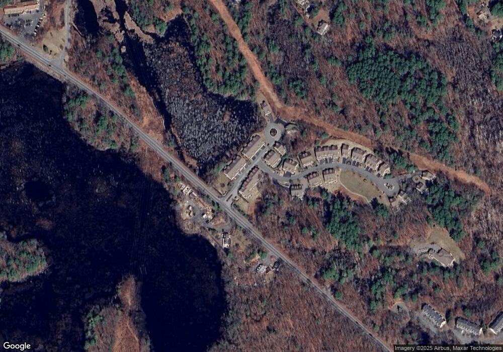
Map
Nearby Homes
- 196-200 B1 N Main St
- 123 Forest St
- 89 Forest St
- 77 Essex St
- 3 Harvest Dr Unit 106
- 2 Harvest Dr Unit 301
- 3 Harvest Dr Unit 303
- 112 Mill St
- 480 Sharpners Pond Rd
- 39 Central St
- 3 Useadoor St
- 220 Swan Pond Rd
- 78 Mill St
- 1 Mill Terrace
- 3 Warren Dr
- 47 Maple St Unit A
- 49 Maple St Unit B
- 28 Niblick Way
- 851 Forest St
- 14 Amberville Rd
- 32 White Cedar Dr Unit 32
- 1 Cranberry Ln Unit 1
- 9 Cranberry Ln Unit 9
- 26 White Cedar Dr
- 26 White Cedar Dr Unit 26
- 22 White Cedar Dr Unit 22
- 18 White Cedar Dr Unit 18
- 14 White Cedar Dr Unit 14
- 14 White Cedar Dr Unit 23
- 14 White Cedar Dr
- 16 White Cedar Dr Unit 16
- 20 White Cedar Dr Unit 26
- 20 White Cedar Dr
- 20 White Cedar Dr Unit 20
- 10 White Cedar Dr Unit 10
- 10 White Cedar Dr Unit 21
- 10 White Cedar Dr Unit a
- 12 White Cedar Dr Unit 12
- 13 White Cedar Dr Unit 13
- 15 White Cedar Dr Unit 37