5 Cushman Rd Wareham, MA 02571
Estimated Value: $412,000 - $554,000
2
Beds
1
Bath
1,040
Sq Ft
$470/Sq Ft
Est. Value
About This Home
This home is located at 5 Cushman Rd, Wareham, MA 02571 and is currently estimated at $488,846, approximately $470 per square foot. 5 Cushman Rd is a home located in Plymouth County.
Ownership History
Date
Name
Owned For
Owner Type
Purchase Details
Closed on
Jun 27, 2011
Sold by
For Saxon Asset Securi and Deutsche Bank Natl T C
Bought by
Flanagan Barbara
Current Estimated Value
Purchase Details
Closed on
Apr 20, 2011
Sold by
Blania Helmut and Deutsche Bk Natl T Co
Bought by
Deutsche Bk Natl Tco and Saxon Asset Securities
Purchase Details
Closed on
Jul 26, 2007
Sold by
Griffin Mary E and Blania Helmut
Bought by
Griffin Mary E
Home Financials for this Owner
Home Financials are based on the most recent Mortgage that was taken out on this home.
Original Mortgage
$295,800
Interest Rate
6.54%
Purchase Details
Closed on
Nov 2, 2005
Sold by
Gay Dorothy G and Gay Russell C
Bought by
Blania Helmut and Griffin Mary E
Home Financials for this Owner
Home Financials are based on the most recent Mortgage that was taken out on this home.
Original Mortgage
$254,250
Interest Rate
5.85%
Mortgage Type
Purchase Money Mortgage
Create a Home Valuation Report for This Property
The Home Valuation Report is an in-depth analysis detailing your home's value as well as a comparison with similar homes in the area
Purchase History
| Date | Buyer | Sale Price | Title Company |
|---|---|---|---|
| Flanagan Barbara | $152,000 | -- | |
| Deutsche Bk Natl Tco | $220,000 | -- | |
| Griffin Mary E | -- | -- | |
| Blania Helmut | $340,000 | -- | |
| Flanagan Barbara | $152,000 | -- | |
| Deutsche Bk Natl Tco | $220,000 | -- | |
| Griffin Mary E | -- | -- | |
| Blania Helmut | $340,000 | -- |
Source: Public Records
Mortgage History
| Date | Status | Borrower | Loan Amount |
|---|---|---|---|
| Previous Owner | Blania Helmut | $295,800 | |
| Previous Owner | Blania Helmut | $254,250 |
Source: Public Records
Tax History
| Year | Tax Paid | Tax Assessment Tax Assessment Total Assessment is a certain percentage of the fair market value that is determined by local assessors to be the total taxable value of land and additions on the property. | Land | Improvement |
|---|---|---|---|---|
| 2025 | $3,527 | $338,500 | $127,200 | $211,300 |
| 2024 | $3,536 | $314,900 | $99,700 | $215,200 |
| 2023 | $3,394 | $282,100 | $90,600 | $191,500 |
| 2022 | $3,220 | $244,300 | $90,600 | $153,700 |
| 2021 | $3,798 | $237,200 | $90,600 | $146,600 |
| 2020 | $6,695 | $225,300 | $90,600 | $134,700 |
| 2019 | $2,863 | $215,400 | $88,300 | $127,100 |
| 2018 | $2,719 | $199,500 | $88,300 | $111,200 |
| 2017 | $2,529 | $188,000 | $88,300 | $99,700 |
| 2016 | $2,284 | $168,800 | $82,800 | $86,000 |
| 2015 | $2,206 | $168,800 | $82,800 | $86,000 |
| 2014 | $2,199 | $171,100 | $90,300 | $80,800 |
Source: Public Records
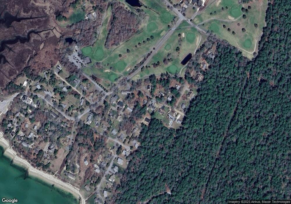
Map
Nearby Homes
- 200 Great Neck Rd
- 8 Over Jordan Rd
- 14 Over Jordan Rd
- 65 Great Neck Rd
- 248 Great Neck Rd
- 10 Dowd Ave
- 6 Beacon St Unit 79
- 38 Amos Way
- 10 Beacon St Unit 83
- 10 East Blvd
- 26 Highland Ave
- 10 East Blvd
- 12 Beacon St Unit 84
- 276a Onset Ave
- 0 Squaw's Path
- 3 Carleton St Unit 3
- 32 Carleton St Unit 32
- 22 Bay View Ave
- 35 Locust St
- 35 Locust St
Your Personal Tour Guide
Ask me questions while you tour the home.