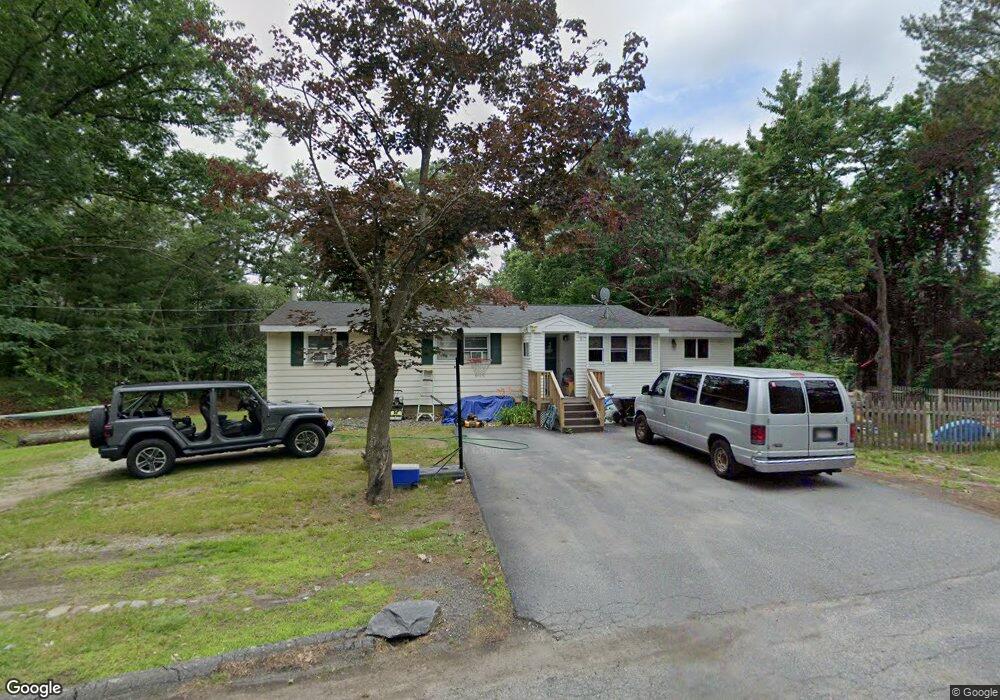
5 Diane St Millbury, MA 01527
Estimated Value: $395,986 - $450,000
3
Beds
1
Bath
1,312
Sq Ft
$326/Sq Ft
Est. Value
About This Home
This home is located at 5 Diane St, Millbury, MA 01527 and is currently estimated at $427,497, approximately $325 per square foot. 5 Diane St is a home located in Worcester County with nearby schools including Elmwood Street Elementary School, Raymond E. Shaw Elementary School, and Millbury Junior/Senior High School.
Ownership History
Date
Name
Owned For
Owner Type
Purchase Details
Closed on
Jul 18, 1990
Sold by
Mcgrail Ellen F
Bought by
Bay Loan & Investment
Current Estimated Value
Create a Home Valuation Report for This Property
The Home Valuation Report is an in-depth analysis detailing your home's value as well as a comparison with similar homes in the area
Home Values in the Area
Average Home Value in this Area
Purchase History
| Date | Buyer | Sale Price | Title Company |
|---|---|---|---|
| Bay Loan & Investment | $93,337 | -- | |
| Bay Loan & Investment | $93,337 | -- |
Source: Public Records
Mortgage History
| Date | Status | Borrower | Loan Amount |
|---|---|---|---|
| Open | Bay Loan & Investment | $65,000 | |
| Closed | Bay Loan & Investment | $69,600 |
Source: Public Records
Tax History Compared to Growth
Tax History
| Year | Tax Paid | Tax Assessment Tax Assessment Total Assessment is a certain percentage of the fair market value that is determined by local assessors to be the total taxable value of land and additions on the property. | Land | Improvement |
|---|---|---|---|---|
| 2025 | $4,194 | $313,200 | $111,000 | $202,200 |
| 2024 | $3,845 | $290,600 | $102,800 | $187,800 |
| 2023 | $3,443 | $238,300 | $72,200 | $166,100 |
| 2022 | $3,350 | $223,300 | $72,200 | $151,100 |
| 2021 | $3,562 | $213,300 | $72,200 | $141,100 |
| 2020 | $3,212 | $209,500 | $72,200 | $137,300 |
| 2019 | $5,819 | $181,400 | $65,600 | $115,800 |
| 2018 | $11,354 | $166,800 | $65,600 | $101,200 |
| 2017 | $5,474 | $159,800 | $65,600 | $94,200 |
| 2016 | $2,446 | $148,600 | $65,600 | $83,000 |
| 2015 | $2,479 | $150,600 | $69,700 | $80,900 |
| 2014 | $2,404 | $140,600 | $69,700 | $70,900 |
Source: Public Records
Map
Nearby Homes
- 2 Diane St
- 86 Wheelock Ave
- 3 May St
- 11 Westview Ave
- 12 Irene Ct
- 1 Pineland Ave
- 1 Broadmeadow Ave
- 90 Macarthur Dr
- 12 Alstead Path
- 330 Millbury Ave
- 497 Massasoit Rd
- 27 A-B Grafton St
- 11 Maplewood Rd
- 3 Stidsen Way
- 232 Weatherstone Dr
- 76 Weatherstone Dr
- 46 John Dr Unit 46
- 5 Edward Dr
- 1203 Grafton St Unit 38
- 1201 Grafton St Unit 73
- 22 Rindge St
- 69 Wheelock Ave
- 69 Wheelock Ave Unit 3R
- 69 Wheelock Ave Unit 1R
- 69 Wheelock Ave
- 65 Wheelock Ave
- 77 Wheelock Ave
- 63 Wheelock Ave
- 59 Wheelock Ave
- 70 Wheelock Ave
- 20 Rindge St
- 68 Wheelock Ave
- 2 Oak Pond Ave
- 21 Rindge St
- 18 Rindge St
- 64 Wheelock Ave
- 4 Macarthur Dr
- 1 Westview Ave
- 1 Westview Ave Unit 1
- 1 Westview Ave