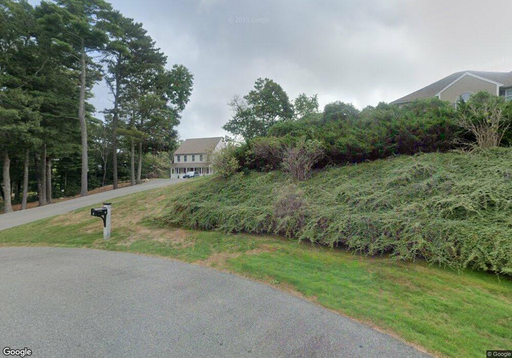
5 Dorothy Way Bourne, MA 2532
Monument Beach NeighborhoodEstimated Value: $861,565 - $982,000
4
Beds
4
Baths
2,808
Sq Ft
$325/Sq Ft
Est. Value
About This Home
This home is located at 5 Dorothy Way, Bourne, MA 2532 and is currently estimated at $912,891, approximately $325 per square foot. 5 Dorothy Way is a home located in Barnstable County with nearby schools including Bourne High School, St Margaret Regional School, and Cadence Academy Preschool - Bourne.
Ownership History
Date
Name
Owned For
Owner Type
Purchase Details
Closed on
Jul 27, 2012
Sold by
Rees Keith C and Rees Susan H
Bought by
Mucci Michael L and Mucci Stacey J
Current Estimated Value
Home Financials for this Owner
Home Financials are based on the most recent Mortgage that was taken out on this home.
Original Mortgage
$328,000
Outstanding Balance
$227,969
Interest Rate
3.74%
Mortgage Type
New Conventional
Estimated Equity
$684,922
Purchase Details
Closed on
Oct 12, 2007
Sold by
Morris Antonia E and Morris Edward A
Bought by
Rees Keith C and Rees Susan H
Home Financials for this Owner
Home Financials are based on the most recent Mortgage that was taken out on this home.
Original Mortgage
$230,000
Interest Rate
6.49%
Mortgage Type
Purchase Money Mortgage
Purchase Details
Closed on
Oct 22, 2002
Sold by
Jackson Woods Rt
Bought by
Morris Edward A and Morris Antonia E
Home Financials for this Owner
Home Financials are based on the most recent Mortgage that was taken out on this home.
Original Mortgage
$266,000
Interest Rate
6.18%
Mortgage Type
Purchase Money Mortgage
Create a Home Valuation Report for This Property
The Home Valuation Report is an in-depth analysis detailing your home's value as well as a comparison with similar homes in the area
Home Values in the Area
Average Home Value in this Area
Purchase History
| Date | Buyer | Sale Price | Title Company |
|---|---|---|---|
| Mucci Michael L | $410,000 | -- | |
| Rees Keith C | $450,000 | -- | |
| Morris Edward A | $125,000 | -- |
Source: Public Records
Mortgage History
| Date | Status | Borrower | Loan Amount |
|---|---|---|---|
| Open | Mucci Michael L | $328,000 | |
| Previous Owner | Morris Edward A | $230,000 | |
| Previous Owner | Rees Keith C | $230,000 | |
| Previous Owner | Morris Edward A | $300,000 | |
| Previous Owner | Morris Edward A | $266,000 |
Source: Public Records
Tax History Compared to Growth
Tax History
| Year | Tax Paid | Tax Assessment Tax Assessment Total Assessment is a certain percentage of the fair market value that is determined by local assessors to be the total taxable value of land and additions on the property. | Land | Improvement |
|---|---|---|---|---|
| 2025 | $5,780 | $740,100 | $228,700 | $511,400 |
| 2024 | $5,652 | $704,800 | $217,800 | $487,000 |
| 2023 | $5,541 | $628,900 | $192,700 | $436,200 |
| 2022 | $5,259 | $521,200 | $170,600 | $350,600 |
| 2021 | $3,043 | $478,200 | $155,200 | $323,000 |
| 2020 | $3,065 | $468,100 | $153,700 | $314,400 |
| 2019 | $4,770 | $453,900 | $153,700 | $300,200 |
| 2018 | $4,592 | $435,700 | $146,500 | $289,200 |
| 2017 | $2,066 | $431,400 | $145,100 | $286,300 |
| 2016 | $4,308 | $424,000 | $145,100 | $278,900 |
Source: Public Records
Map
Nearby Homes
- 14 Great Rock Rd
- 44 Cotuit Rd
- 5 Sea Knoll Ct
- 85 Waterhouse Rd
- 85 Waterhouse Rd
- 13 Laurel Hill Ct
- 26 Carnoustie Rd
- 60 Sandwich Rd
- 405 Village Dr
- 405 Village Dr Unit 405
- 1 Hollyhock Knoll Ct Unit 1
- 4 Hollyhock Knoll Ct Unit 4
- 4 Hollyhock Knoll Ct Unit 4
- 90-92 Sandwich Rd Unit 2
- 12 Turnberry Rd Unit 12
- 34 Turnberry Rd
- 203 County Rd
- 90-92 Sandwich Rd Unit 9C
- 38 Old Bridge Rd
- 16 Amberwood Ct