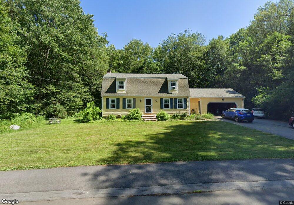
5 Douglas Rd Westford, MA 01886
Estimated Value: $904,508 - $1,011,000
4
Beds
4
Baths
2,472
Sq Ft
$383/Sq Ft
Est. Value
About This Home
This home is located at 5 Douglas Rd, Westford, MA 01886 and is currently estimated at $947,627, approximately $383 per square foot. 5 Douglas Rd is a home located in Middlesex County with nearby schools including Abbot Elementary School, Nabnasset Elementary, and Stony Brook School.
Ownership History
Date
Name
Owned For
Owner Type
Purchase Details
Closed on
Nov 1, 1995
Sold by
Trout Ft and Trout Harry R
Bought by
Mcmillan William and Mcmillan Iris
Current Estimated Value
Home Financials for this Owner
Home Financials are based on the most recent Mortgage that was taken out on this home.
Original Mortgage
$203,150
Outstanding Balance
$2,836
Interest Rate
7.58%
Mortgage Type
Purchase Money Mortgage
Estimated Equity
$944,791
Create a Home Valuation Report for This Property
The Home Valuation Report is an in-depth analysis detailing your home's value as well as a comparison with similar homes in the area
Home Values in the Area
Average Home Value in this Area
Purchase History
| Date | Buyer | Sale Price | Title Company |
|---|---|---|---|
| Mcmillan William | $277,750 | -- |
Source: Public Records
Mortgage History
| Date | Status | Borrower | Loan Amount |
|---|---|---|---|
| Open | Mcmillan William | $203,150 | |
| Previous Owner | Mcmillan William | $172,000 |
Source: Public Records
Tax History
| Year | Tax Paid | Tax Assessment Tax Assessment Total Assessment is a certain percentage of the fair market value that is determined by local assessors to be the total taxable value of land and additions on the property. | Land | Improvement |
|---|---|---|---|---|
| 2025 | $10,606 | $787,400 | $297,000 | $490,400 |
| 2024 | $10,326 | $749,900 | $282,800 | $467,100 |
| 2023 | $10,190 | $690,400 | $269,200 | $421,200 |
| 2022 | $10,505 | $651,700 | $238,300 | $413,400 |
| 2021 | $9,581 | $575,800 | $238,300 | $337,500 |
| 2020 | $9,403 | $575,800 | $238,300 | $337,500 |
| 2019 | $9,161 | $553,200 | $238,300 | $314,900 |
| 2018 | $8,781 | $542,700 | $229,900 | $312,800 |
| 2017 | $8,249 | $502,700 | $229,900 | $272,800 |
| 2016 | $7,871 | $482,900 | $219,500 | $263,400 |
Source: Public Records
Map
Nearby Homes
- 7 Providence Rd
- 62 Main St
- 8 Galloway Rd
- 4 Swanson Ln
- 17 York Ave
- 8 Monument Hill Rd
- 360 Littleton Rd Unit B7
- 360 Littleton Rd Unit E10
- 360 Littleton Rd Unit C7
- 34 Maple Rd
- 99 Mobile Ave
- 79 Garrison Rd
- 23 Monument Hill Rd
- 13 Lower Rd
- 4 Grove St
- 14 Hutchins Way
- 17 Maple St
- 143 Pine Hill Rd
- 43 Abbott Ln
- 17 Forrest Rd
Your Personal Tour Guide
Ask me questions while you tour the home.