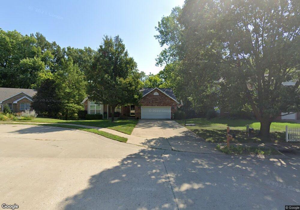
5 Dunlap Cove Ct N Edwardsville, IL 62025
Estimated Value: $345,772 - $387,000
4
Beds
3
Baths
1,552
Sq Ft
$237/Sq Ft
Est. Value
About This Home
This home is located at 5 Dunlap Cove Ct N, Edwardsville, IL 62025 and is currently estimated at $367,943, approximately $237 per square foot. 5 Dunlap Cove Ct N is a home located in Madison County with nearby schools including LeClaire Elementary School, Columbus Elementary School, and Liberty Middle School.
Ownership History
Date
Name
Owned For
Owner Type
Purchase Details
Closed on
Nov 25, 2009
Sold by
Wilke Beth and Patrick Beth
Bought by
Bogowith David and Hellenga Kelly
Current Estimated Value
Home Financials for this Owner
Home Financials are based on the most recent Mortgage that was taken out on this home.
Original Mortgage
$170,000
Outstanding Balance
$111,734
Interest Rate
5.05%
Mortgage Type
New Conventional
Estimated Equity
$256,209
Create a Home Valuation Report for This Property
The Home Valuation Report is an in-depth analysis detailing your home's value as well as a comparison with similar homes in the area
Home Values in the Area
Average Home Value in this Area
Purchase History
| Date | Buyer | Sale Price | Title Company |
|---|---|---|---|
| Bogowith David | $212,500 | Southern Illinois Real Estat |
Source: Public Records
Mortgage History
| Date | Status | Borrower | Loan Amount |
|---|---|---|---|
| Open | Bogowith David | $170,000 |
Source: Public Records
Tax History Compared to Growth
Tax History
| Year | Tax Paid | Tax Assessment Tax Assessment Total Assessment is a certain percentage of the fair market value that is determined by local assessors to be the total taxable value of land and additions on the property. | Land | Improvement |
|---|---|---|---|---|
| 2024 | $6,669 | $99,420 | $14,740 | $84,680 |
| 2023 | $6,669 | $92,260 | $13,680 | $78,580 |
| 2022 | $6,248 | $85,290 | $12,650 | $72,640 |
| 2021 | $5,572 | $80,950 | $12,010 | $68,940 |
| 2020 | $5,389 | $78,450 | $11,640 | $66,810 |
| 2019 | $5,349 | $77,140 | $11,450 | $65,690 |
| 2018 | $5,254 | $73,670 | $10,930 | $62,740 |
| 2017 | $5,108 | $72,110 | $10,700 | $61,410 |
| 2016 | $4,616 | $72,110 | $10,700 | $61,410 |
| 2015 | $4,409 | $66,850 | $9,920 | $56,930 |
| 2014 | $4,409 | $66,850 | $9,920 | $56,930 |
| 2013 | $4,409 | $66,850 | $9,920 | $56,930 |
Source: Public Records
Map
Nearby Homes
- 311 Barnett Dr
- 103 Thomas Terrace
- 114 Barnett Dr
- 105 Barnett Dr
- 424 Circle Dr
- 1120 Franklin Ave
- 340 E Lake Dr
- 808 Meade Ave
- 7 Colleen Dr
- 4 Hadley Ct
- 104 Poplar Ct
- 714 Sherman Ave
- 115 Branch Dr
- 821 Sherman Ave
- 7301 Providence Dr
- 525 Gueltig Ave
- 514 Gueltig Ave
- 629 Bollman Ave
- 210 Springer Ave
- 3856 Plymouth Dr
- 6 Dunlap Cove Ct N
- 4 Dunlap Cove Ct N
- 321 Barnett Dr
- 3 Dunlap Cove Ct N
- 317 Barnett Dr
- 329 Barnett Dr
- 7 Dunlap Cove Ct N
- 1 Dunlap Cove Ct N
- 2 Dunlap Cove Ct N
- 8 Dunlap Cove Ct N
- 307 Barnett Dr
- 337 Barnett Dr
- 3 Dunlap Sound S
- 20 Dunlap Cove Dr
- 23 Dunlap Cove Dr
- 246 Thomas Terrace
- 250 Thomas Terrace
- 4 Dunlap Sound S
- 240 Thomas Terrace
- 2 Dunlap Sound S