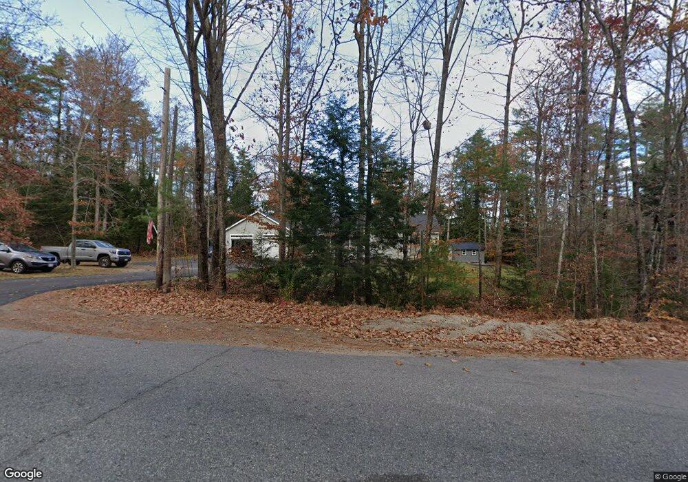
5 Dyer Rd Dayton, ME 04005
Dayton NeighborhoodEstimated Value: $547,000 - $672,000
4
Beds
3
Baths
1,630
Sq Ft
$373/Sq Ft
Est. Value
About This Home
This home is located at 5 Dyer Rd, Dayton, ME 04005 and is currently estimated at $608,239, approximately $373 per square foot. 5 Dyer Rd is a home with nearby schools including Dayton Consolidated School.
Ownership History
Date
Name
Owned For
Owner Type
Purchase Details
Closed on
Sep 18, 2020
Sold by
Crozier Richard R
Bought by
Crozier Richard R and Crozier Lisa M
Current Estimated Value
Home Financials for this Owner
Home Financials are based on the most recent Mortgage that was taken out on this home.
Original Mortgage
$247,000
Outstanding Balance
$219,196
Interest Rate
2.9%
Mortgage Type
New Conventional
Estimated Equity
$389,043
Create a Home Valuation Report for This Property
The Home Valuation Report is an in-depth analysis detailing your home's value as well as a comparison with similar homes in the area
Home Values in the Area
Average Home Value in this Area
Purchase History
| Date | Buyer | Sale Price | Title Company |
|---|---|---|---|
| Crozier Richard R | -- | None Available |
Source: Public Records
Mortgage History
| Date | Status | Borrower | Loan Amount |
|---|---|---|---|
| Open | Crozier Richard R | $247,000 |
Source: Public Records
Tax History Compared to Growth
Tax History
| Year | Tax Paid | Tax Assessment Tax Assessment Total Assessment is a certain percentage of the fair market value that is determined by local assessors to be the total taxable value of land and additions on the property. | Land | Improvement |
|---|---|---|---|---|
| 2022 | $5,101 | $359,500 | $91,200 | $268,300 |
| 2021 | $5,101 | $359,500 | $91,200 | $268,300 |
| 2020 | $5,137 | $362,000 | $91,000 | $271,000 |
| 2019 | $5,383 | $397,000 | $91,000 | $306,000 |
| 2018 | $5,091 | $355,000 | $73,000 | $282,000 |
| 2017 | $4,911 | $311,800 | $62,200 | $249,600 |
| 2016 | $4,650 | $229,500 | $46,200 | $183,300 |
| 2015 | $3,670 | $176,700 | $46,200 | $130,500 |
| 2014 | $3,663 | $175,700 | $46,200 | $129,500 |
Source: Public Records
Map
Nearby Homes
- 62 Nichols Ln
- 30 Joy Valley Rd
- 12 Salmon Falls Rd
- 37 Joshua Ln
- 158 Lord Rd
- 13 Bar Mills Rd
- 17 John Clark Rd
- 37 Boynton Rd
- 0 Beech Plains Rd
- 95 River Rd
- 10 Tide Water Dr
- 11 Tide Water Dr
- 1 Tide Water Dr
- 12 Tide Water Dr
- 19 Depot St
- 1135 River Rd
- 281 Narragansett Trail
- 222 Main St
- 48 Tickle Way
- 177 Old Orchard Rd
- 0 Dyer Rd Unit 862194
- 0 Dyer Rd Unit 756438
- 0 Dyer Rd Unit 731393
- 0 Dyer Rd Unit 723806
- 0 Dyer Rd Unit 255174
- 0 Dyer Rd Unit 222227
- 0 Dyer Rd Unit 929671
- 0 Dyer Rd Unit 1008241
- 23 Dyer Rd
- 00 Hollis Rd
- 33 Cattle Dr
- 577 Hollis Rd
- 28 Dyer Rd
- 116 Company Rd
- 130 Company Rd
- 39 Dyer Rd
- 564 Hollis Rd
- 44 Dyer Rd
- 565 Hollis Rd
- 61 Dyer Rd