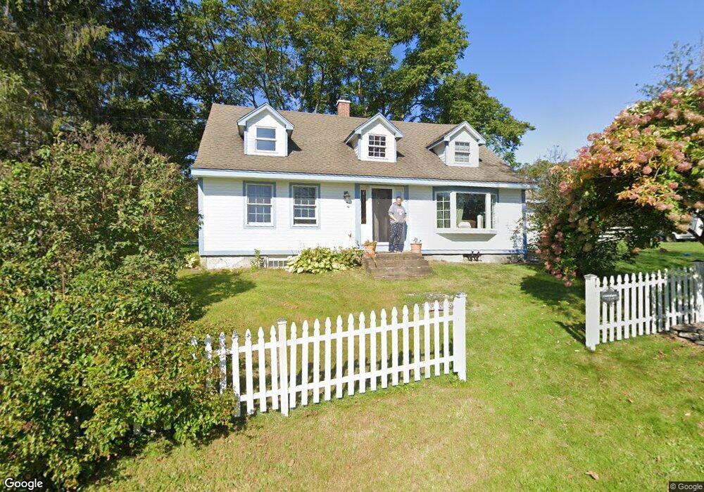
5 E Howey Rd Ashford, CT 06278
Estimated Value: $407,447 - $528,000
3
Beds
1
Bath
1,878
Sq Ft
$249/Sq Ft
Est. Value
About This Home
This home is located at 5 E Howey Rd, Ashford, CT 06278 and is currently estimated at $467,112, approximately $248 per square foot. 5 E Howey Rd is a home located in Windham County with nearby schools including Ashford School and E.O. Smith High School.
Ownership History
Date
Name
Owned For
Owner Type
Purchase Details
Closed on
Aug 28, 2007
Sold by
Sullivan Lisa A
Bought by
Blauvelt 3Rd John C and Blauvelt Marisa L
Current Estimated Value
Home Financials for this Owner
Home Financials are based on the most recent Mortgage that was taken out on this home.
Original Mortgage
$267,200
Interest Rate
6.78%
Purchase Details
Closed on
Mar 19, 1991
Sold by
Clark Joann and Fliegel James
Bought by
Sullivna Lisa and Sullivan Michael
Create a Home Valuation Report for This Property
The Home Valuation Report is an in-depth analysis detailing your home's value as well as a comparison with similar homes in the area
Home Values in the Area
Average Home Value in this Area
Purchase History
| Date | Buyer | Sale Price | Title Company |
|---|---|---|---|
| Blauvelt 3Rd John C | $334,000 | -- | |
| Blauvelt 3Rd John C | $334,000 | -- | |
| Sullivna Lisa | $144,000 | -- | |
| Sullivna Lisa | $144,000 | -- |
Source: Public Records
Mortgage History
| Date | Status | Borrower | Loan Amount |
|---|---|---|---|
| Open | Sullivna Lisa | $260,150 | |
| Closed | Sullivna Lisa | $267,200 |
Source: Public Records
Tax History Compared to Growth
Tax History
| Year | Tax Paid | Tax Assessment Tax Assessment Total Assessment is a certain percentage of the fair market value that is determined by local assessors to be the total taxable value of land and additions on the property. | Land | Improvement |
|---|---|---|---|---|
| 2025 | $6,555 | $180,180 | $54,880 | $125,300 |
| 2024 | $6,191 | $180,180 | $54,880 | $125,300 |
| 2023 | $5,962 | $180,180 | $54,880 | $125,300 |
| 2022 | $5,814 | $180,180 | $54,880 | $125,300 |
| 2021 | $5,965 | $164,000 | $63,900 | $100,100 |
| 2020 | $6,042 | $164,000 | $63,900 | $100,100 |
| 2019 | $5,815 | $164,000 | $63,900 | $100,100 |
| 2018 | $5,702 | $164,000 | $63,900 | $100,100 |
| 2017 | $5,637 | $164,000 | $63,900 | $100,100 |
| 2016 | $5,331 | $164,700 | $78,800 | $85,900 |
| 2015 | $5,429 | $164,700 | $78,800 | $85,900 |
| 2014 | $5,297 | $164,700 | $78,800 | $85,900 |
Source: Public Records
Map
Nearby Homes
- 102 Krapf Rd
- 415 Tolland Turnpike
- 0 Jared Sparks Rd
- 90-94 & 93 Upton Rd
- 483 North Rd
- 444 North Rd
- 0 Lohse Rd Unit map 42 block 21
- 133 Fitts Rd
- 81 Floeting Rd
- 21 Ashley Ln
- 113 Michelec Rd
- 115 North Rd
- 66 Bebbington Rd
- 61 Lohse Rd
- 57 Lohse Rd
- 0 River Rd Unit 24120753
- 25 Lead Mine Rd
- 123 Ashford Rd Unit 1
- 685 Wormwood Hill Rd
- 7 Nahaco Hill Ln
- 3 Howey Rd
- 406 Zaicek Rd
- 399 Zaicek Rd
- 411 Zaicek Rd
- 11 E Howey Rd
- 410 Zaicek Rd
- 419 Zaicek Rd
- 368 Zaicek Rd
- 368 Zaicek Rd
- 34 E Howey Rd
- 426 Zaicek Rd
- 31 Howey Rd
- 18 Howey Rd
- 37 Howey Rd
- 445 Zaicek Rd
- 0 Seckar Rd Unit G648030
- 0 Seckar Rd Unit G662667
- 0 Seckar Rd Unit G671347
- 0 Seckar Rd Unit 170334828
- 53 Seckar Rd