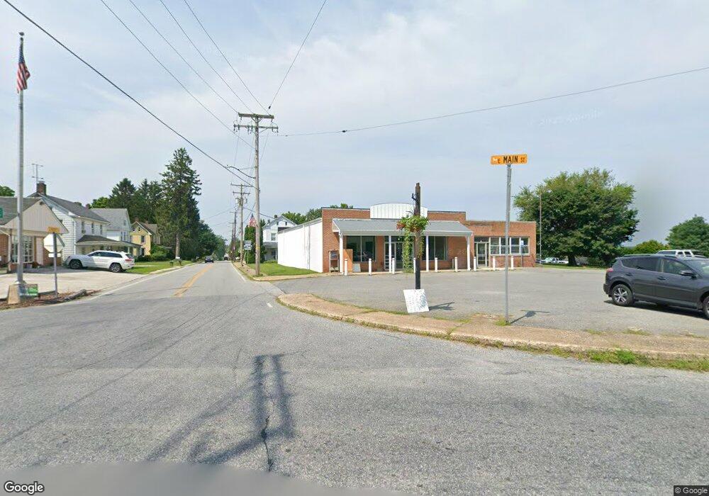
5 E Main St Fawn Grove, PA 17321
--
Bed
--
Bath
5,136
Sq Ft
0.35
Acres
About This Home
This home is located at 5 E Main St, Fawn Grove, PA 17321. 5 E Main St is a home located in York County with nearby schools including South Eastern Intermediate School, South Eastern Middle School, and Kennard-Dale High School.
Ownership History
Date
Name
Owned For
Owner Type
Purchase Details
Closed on
Dec 24, 2018
Sold by
Dutchs Corner Llc
Bought by
Goss Properties Inc
Purchase Details
Closed on
May 15, 2008
Sold by
Ottensmeyer Nathan and Ottensmeyer Jessica
Bought by
Dutchs Corner Llc
Home Financials for this Owner
Home Financials are based on the most recent Mortgage that was taken out on this home.
Original Mortgage
$384,560
Interest Rate
5.94%
Mortgage Type
Commercial
Purchase Details
Closed on
Dec 13, 2006
Sold by
Yost Kathy E
Bought by
Ottensmeyer Nathan and Ottensmeyer Jessica
Home Financials for this Owner
Home Financials are based on the most recent Mortgage that was taken out on this home.
Original Mortgage
$625,000
Interest Rate
6.31%
Mortgage Type
Commercial
Create a Home Valuation Report for This Property
The Home Valuation Report is an in-depth analysis detailing your home's value as well as a comparison with similar homes in the area
Home Values in the Area
Average Home Value in this Area
Purchase History
| Date | Buyer | Sale Price | Title Company |
|---|---|---|---|
| Goss Properties Inc | $225,000 | None Available | |
| Dutchs Corner Llc | $437,000 | None Available | |
| Ottensmeyer Nathan | $438,000 | None Available |
Source: Public Records
Mortgage History
| Date | Status | Borrower | Loan Amount |
|---|---|---|---|
| Previous Owner | Dutchs Corner Llc | $384,560 | |
| Previous Owner | Ottensmeyer Nathan | $625,000 |
Source: Public Records
Tax History Compared to Growth
Tax History
| Year | Tax Paid | Tax Assessment Tax Assessment Total Assessment is a certain percentage of the fair market value that is determined by local assessors to be the total taxable value of land and additions on the property. | Land | Improvement |
|---|---|---|---|---|
| 2025 | $4,895 | $157,140 | $11,610 | $145,530 |
| 2024 | $4,895 | $157,140 | $11,610 | $145,530 |
| 2023 | $4,895 | $157,140 | $11,610 | $145,530 |
| 2022 | $4,895 | $157,140 | $11,610 | $145,530 |
| 2021 | $4,738 | $157,140 | $11,610 | $145,530 |
| 2020 | $4,738 | $157,140 | $11,610 | $145,530 |
| 2019 | $4,722 | $157,140 | $11,610 | $145,530 |
| 2018 | $4,722 | $157,140 | $11,610 | $145,530 |
| 2017 | $4,722 | $157,140 | $11,610 | $145,530 |
| 2016 | $0 | $157,140 | $11,610 | $145,530 |
| 2015 | -- | $157,140 | $11,610 | $145,530 |
| 2014 | -- | $157,140 | $11,610 | $145,530 |
Source: Public Records
Map
Nearby Homes
- 31 N Market St
- 1701 Scott Rd
- 387 Garvine Mill Rd
- 2131 Channel Rd
- 54 Mitchell Rd
- 238 Mitchell Rd
- 20 Carea Rd
- 257 Wiley Mill Rd
- 194 Cook Rd
- 2913 Whiteford Rd
- 267 Cook Rd
- 101 Saint Marys Rd
- 4816 Amos Rd
- 415 Saint Marys Rd
- 397 Marsteller Rd
- 216 Meadow Trail
- Parcel 859 Neill Run Rd
- Lot C Bryansville Rd
- 46 Corn Tassel Rd
- Lot 4 Ridge Rd