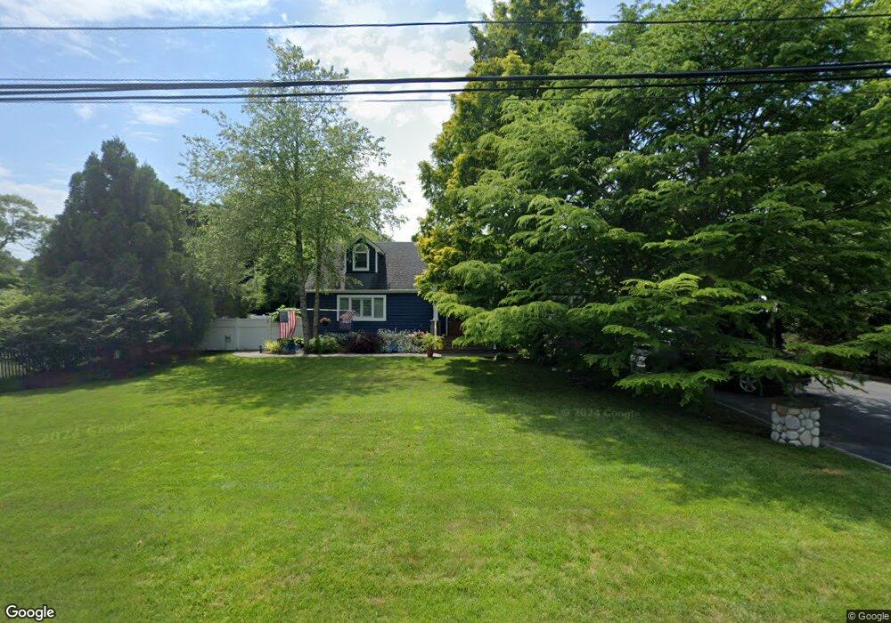
5 Eatondale Ave Blue Point, NY 11715
Estimated Value: $644,000 - $1,185,000
--
Bed
--
Bath
--
Sq Ft
0.45
Acres
About This Home
This home is located at 5 Eatondale Ave, Blue Point, NY 11715 and is currently estimated at $821,031. 5 Eatondale Ave is a home located in Suffolk County with nearby schools including James Wilson Young Middle School, Bayport Blue Point High School, and Holy Angels Regional School.
Ownership History
Date
Name
Owned For
Owner Type
Purchase Details
Closed on
May 16, 2003
Sold by
Brennan Debra
Bought by
Darby Timothy and Brennan Debra
Current Estimated Value
Home Financials for this Owner
Home Financials are based on the most recent Mortgage that was taken out on this home.
Original Mortgage
$200,000
Interest Rate
5.05%
Mortgage Type
Purchase Money Mortgage
Purchase Details
Closed on
Jul 25, 1996
Sold by
Kent William J and Hassard Matthew S
Bought by
Brennan Debra
Create a Home Valuation Report for This Property
The Home Valuation Report is an in-depth analysis detailing your home's value as well as a comparison with similar homes in the area
Home Values in the Area
Average Home Value in this Area
Purchase History
| Date | Buyer | Sale Price | Title Company |
|---|---|---|---|
| Darby Timothy | -- | Chicago Title Insurance Co | |
| Brennan Debra | $125,000 | Chicago Title Insurance Co |
Source: Public Records
Mortgage History
| Date | Status | Borrower | Loan Amount |
|---|---|---|---|
| Closed | Darby Timothy | $200,000 |
Source: Public Records
Tax History Compared to Growth
Tax History
| Year | Tax Paid | Tax Assessment Tax Assessment Total Assessment is a certain percentage of the fair market value that is determined by local assessors to be the total taxable value of land and additions on the property. | Land | Improvement |
|---|---|---|---|---|
| 2024 | $16,811 | $50,600 | $16,500 | $34,100 |
| 2023 | $16,811 | $50,600 | $16,500 | $34,100 |
| 2022 | $12,883 | $50,600 | $16,500 | $34,100 |
| 2021 | $12,883 | $50,600 | $16,500 | $34,100 |
| 2020 | $14,673 | $50,600 | $16,500 | $34,100 |
| 2019 | $14,673 | $50,600 | $16,500 | $34,100 |
| 2018 | -- | $47,000 | $16,500 | $30,500 |
| 2017 | $13,057 | $47,000 | $16,500 | $30,500 |
| 2016 | $12,670 | $47,000 | $16,500 | $30,500 |
| 2015 | -- | $47,000 | $16,500 | $30,500 |
| 2014 | -- | $46,100 | $16,500 | $29,600 |
Source: Public Records
Map
Nearby Homes
- 0 Sylvan Ave
- 41 Eatondale Ave
- 63 Division Ave
- 510 Bayport Ave
- 92 Barrett Ave
- 2 Oyster Cove Ln
- 6 Oyster Cove Ln
- 462 Bayport Ave
- 92 Park St
- 64 Highland Ave
- 21 S Summit Ave
- 49 S Summit Ave
- 26 Lakeland Ave
- 186 Halley Dr
- 28 S Pinelake Dr
- 50 W Lake Dr
- 7 Kent Ct
- 230 Kensington Ave
- 677 Montauk Hwy
- 151 Fairharbor Dr Unit 151
- 3 Eatondale Ave
- 9 Eatondale Ave
- 4 Eatondale Ave
- 33 Purick St
- 50 Purick St
- 13 Eatondale Ave
- 10 Eatondale Ave
- 31 Purick St
- 15 Eatondale Ave
- 34 Purick St
- 27 Purick St
- 12 Eatondale Ave
- 621 Terrace Rd Unit T13517
- 621 Terrace Rd Unit T12440
- 621 Terrace Rd Unit T18621
- 15 Central Ave
- 64 Purick St
- 30 Purick St
- 616 Terrace Rd Unit 17-616
- 623 Terrace Rd Unit T18623