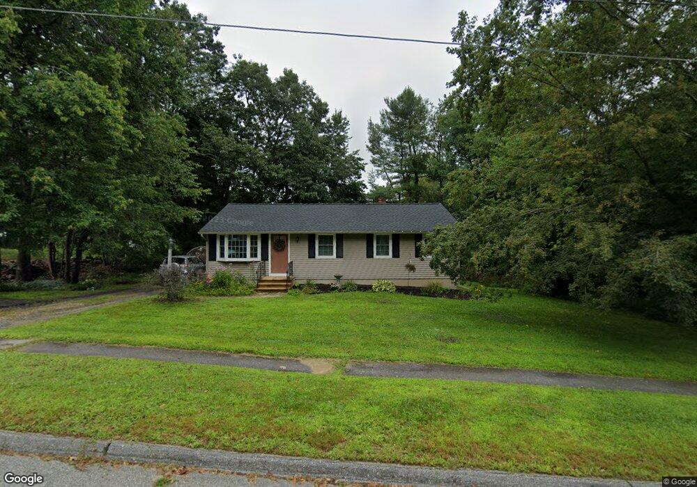
5 Edith Ln Rutland, MA 01543
Estimated Value: $394,000 - $441,000
3
Beds
1
Bath
1,008
Sq Ft
$411/Sq Ft
Est. Value
About This Home
This home is located at 5 Edith Ln, Rutland, MA 01543 and is currently estimated at $414,323, approximately $411 per square foot. 5 Edith Ln is a home located in Worcester County with nearby schools including Wachusett Regional High School.
Ownership History
Date
Name
Owned For
Owner Type
Purchase Details
Closed on
May 30, 2024
Sold by
Harter Joyce D
Bought by
Joyce D Harter 2024 Ret and Harter
Current Estimated Value
Purchase Details
Closed on
Mar 28, 2019
Sold by
Harter Frederick C and Harter Joyce D
Bought by
Harter Joyce D
Purchase Details
Closed on
Mar 16, 1981
Bought by
Harter Frederick C
Create a Home Valuation Report for This Property
The Home Valuation Report is an in-depth analysis detailing your home's value as well as a comparison with similar homes in the area
Home Values in the Area
Average Home Value in this Area
Purchase History
| Date | Buyer | Sale Price | Title Company |
|---|---|---|---|
| Joyce D Harter 2024 Ret | -- | None Available | |
| Joyce D Harter 2024 Ret | -- | None Available | |
| Harter Joyce D | -- | -- | |
| Harter Joyce D | -- | -- | |
| Harter Frederick C | -- | -- |
Source: Public Records
Mortgage History
| Date | Status | Borrower | Loan Amount |
|---|---|---|---|
| Previous Owner | Harter Frederick C | $50,000 | |
| Previous Owner | Harter Frederick C | $25,000 | |
| Previous Owner | Harter Frederick C | $10,000 |
Source: Public Records
Tax History
| Year | Tax Paid | Tax Assessment Tax Assessment Total Assessment is a certain percentage of the fair market value that is determined by local assessors to be the total taxable value of land and additions on the property. | Land | Improvement |
|---|---|---|---|---|
| 2025 | $4,797 | $336,900 | $95,000 | $241,900 |
| 2024 | $4,341 | $292,700 | $85,300 | $207,400 |
| 2023 | $3,983 | $290,300 | $80,400 | $209,900 |
| 2022 | $3,853 | $244,000 | $68,100 | $175,900 |
| 2021 | $3,639 | $217,900 | $68,100 | $149,800 |
| 2020 | $3,614 | $205,200 | $64,100 | $141,100 |
| 2019 | $3,487 | $194,900 | $58,700 | $136,200 |
| 2018 | $3,338 | $184,100 | $58,700 | $125,400 |
| 2017 | $3,277 | $178,900 | $58,700 | $120,200 |
| 2016 | $2,996 | $172,500 | $58,800 | $113,700 |
| 2015 | $2,810 | $159,200 | $58,800 | $100,400 |
| 2014 | $2,724 | $159,200 | $58,800 | $100,400 |
Source: Public Records
Map
Nearby Homes
- 85 Maple Ave Unit A
- 27 Lewis St
- 12 Lewis St
- 11 Lewis St
- 21 Lewis St
- 6 Lewis St
- 22 Village Way
- 210 Fidelity Dr Unit 84
- 212 Fidelity Dr Unit 83
- 10 Fidelity Dr Unit 5
- 12 Fidelity Dr Unit 6
- 15 Fidelity Dr Unit 70
- 28 Forest Hill Dr
- 18 Fidelity Dr Unit 9
- 20 Fernwood Dr
- 20 Fidelity Dr Unit 10
- 39 Laurelwood Rd
- 176 Maple Ave Unit 7-21
- 176 Maple Ave Unit 3-2
- 176 Maple Ave Unit 4-6
Your Personal Tour Guide
Ask me questions while you tour the home.