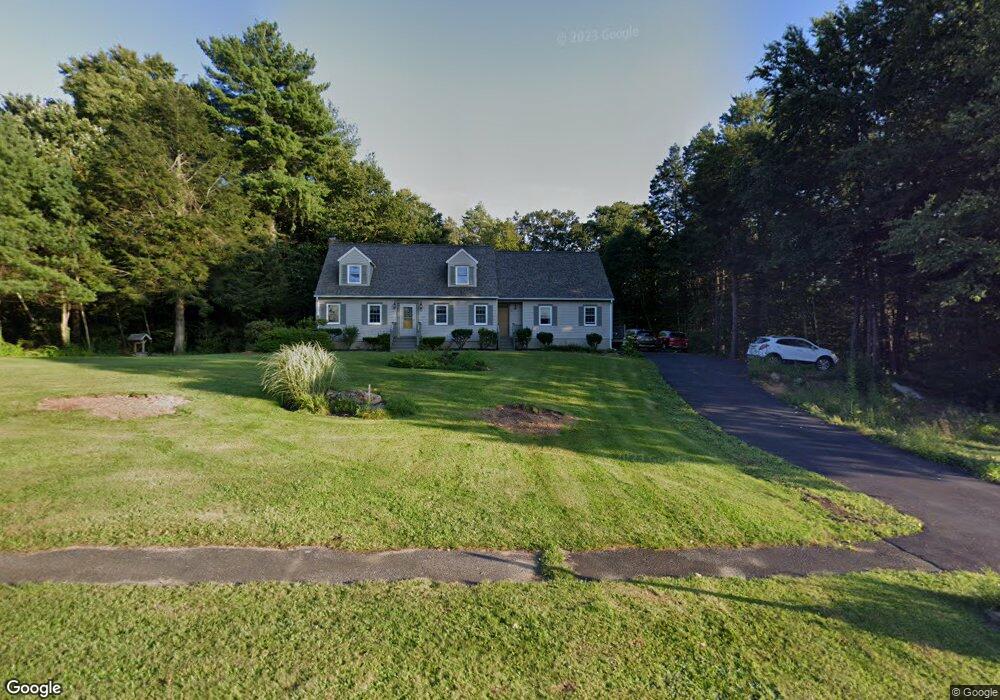
5 Elliott Dr Charlton, MA 01507
Estimated Value: $616,680 - $711,000
4
Beds
4
Baths
2,659
Sq Ft
$254/Sq Ft
Est. Value
About This Home
This home is located at 5 Elliott Dr, Charlton, MA 01507 and is currently estimated at $675,670, approximately $254 per square foot. 5 Elliott Dr is a home located in Worcester County with nearby schools including Shepherd Hill Regional High School.
Ownership History
Date
Name
Owned For
Owner Type
Purchase Details
Closed on
Sep 22, 2005
Sold by
Fisher Jack W and Fisher Paula L
Bought by
Hollett Deborah L and Hollett Keith S
Current Estimated Value
Home Financials for this Owner
Home Financials are based on the most recent Mortgage that was taken out on this home.
Original Mortgage
$325,000
Interest Rate
5.92%
Mortgage Type
Purchase Money Mortgage
Purchase Details
Closed on
Jan 17, 1995
Sold by
Burlingame Elliott P and Burlingame Joan
Bought by
Fisher Jack W and Fisher Paula
Create a Home Valuation Report for This Property
The Home Valuation Report is an in-depth analysis detailing your home's value as well as a comparison with similar homes in the area
Home Values in the Area
Average Home Value in this Area
Purchase History
| Date | Buyer | Sale Price | Title Company |
|---|---|---|---|
| Hollett Deborah L | $420,000 | -- | |
| Hollett Deborah L | $420,000 | -- | |
| Fisher Jack W | $152,000 | -- |
Source: Public Records
Mortgage History
| Date | Status | Borrower | Loan Amount |
|---|---|---|---|
| Open | Fisher Jack W | $300,000 | |
| Closed | Hollett Deborah L | $325,000 | |
| Previous Owner | Fisher Jack W | $143,000 |
Source: Public Records
Tax History
| Year | Tax Paid | Tax Assessment Tax Assessment Total Assessment is a certain percentage of the fair market value that is determined by local assessors to be the total taxable value of land and additions on the property. | Land | Improvement |
|---|---|---|---|---|
| 2025 | $5,840 | $524,700 | $93,500 | $431,200 |
| 2024 | $5,680 | $500,900 | $93,400 | $407,500 |
| 2023 | $5,459 | $448,600 | $89,400 | $359,200 |
| 2022 | $5,578 | $419,700 | $83,000 | $336,700 |
| 2021 | $2,129 | $356,400 | $80,000 | $276,400 |
| 2020 | $5,280 | $353,400 | $77,000 | $276,400 |
| 2019 | $5,220 | $353,400 | $77,000 | $276,400 |
| 2018 | $4,771 | $353,400 | $77,000 | $276,400 |
| 2017 | $1,810 | $327,700 | $77,000 | $250,700 |
| 2016 | $4,516 | $327,700 | $77,000 | $250,700 |
| 2015 | $4,398 | $327,700 | $77,000 | $250,700 |
| 2014 | $4,094 | $323,400 | $75,000 | $248,400 |
Source: Public Records
Map
Nearby Homes
- 199 Center Depot Rd
- 5 Glen Echo Shore Rd
- 50 Old Spencer Rd
- 65 Old Spencer Rd
- 34 Worcester Rd
- 6 Gillespie Rd
- 25 N Main St Unit A
- 0 Worcester Rd
- 8 Northside Rd
- 49 Jennings Rd
- 9 L Stevens Rd Unit B
- 7 L Stevens Rd Unit A
- 7 L Stevens Rd Unit B
- 28 Southbridge Rd Unit 308
- 11 Yeoman Rd
- 15 S Sullivan Rd
- 6 S Sullivan Rd
- 68 - 74 Sturbridge Rd
- 105 Carroll Hill Rd
- 40 Carroll Hill Rd