Estimated Value: $382,000 - $434,000
2
Beds
2
Baths
1,000
Sq Ft
$403/Sq Ft
Est. Value
About This Home
This home is located at 5 Elm Ct Unit 7, Acton, MA 01720 and is currently estimated at $402,905, approximately $402 per square foot. 5 Elm Ct Unit 7 is a home located in Middlesex County with nearby schools including Acton-Boxborough Regional High School.
Ownership History
Date
Name
Owned For
Owner Type
Purchase Details
Closed on
Dec 14, 2020
Sold by
Galyan Keith A and Galyan Laura I
Bought by
Ernest Bury and Marinelli Cynthia
Current Estimated Value
Purchase Details
Closed on
Feb 28, 2017
Sold by
Weaver Sterling L and Weaver Jean C
Bought by
Galyan Keith A and Galyan Laura I
Home Financials for this Owner
Home Financials are based on the most recent Mortgage that was taken out on this home.
Original Mortgage
$180,000
Interest Rate
4.12%
Mortgage Type
New Conventional
Purchase Details
Closed on
Apr 19, 2007
Sold by
Weaver Loren F and Weaver Margaret T
Bought by
Weaver Jean C and Weaver Sterling L
Purchase Details
Closed on
Sep 2, 1998
Sold by
King Allen B and King Doris E
Bought by
Weaver Sterling L and Weaver Jean C
Home Financials for this Owner
Home Financials are based on the most recent Mortgage that was taken out on this home.
Original Mortgage
$60,000
Interest Rate
6.9%
Mortgage Type
Purchase Money Mortgage
Create a Home Valuation Report for This Property
The Home Valuation Report is an in-depth analysis detailing your home's value as well as a comparison with similar homes in the area
Home Values in the Area
Average Home Value in this Area
Purchase History
| Date | Buyer | Sale Price | Title Company |
|---|---|---|---|
| Ernest Bury | $262,000 | None Available | |
| Galyan Keith A | $190,000 | -- | |
| Weaver Jean C | $220,000 | -- | |
| Weaver Jean C | $220,000 | -- | |
| Weaver Sterling L | $81,000 | -- |
Source: Public Records
Mortgage History
| Date | Status | Borrower | Loan Amount |
|---|---|---|---|
| Previous Owner | Galyan Keith A | $180,000 | |
| Previous Owner | Weaver Sterling L | $60,000 |
Source: Public Records
Tax History Compared to Growth
Tax History
| Year | Tax Paid | Tax Assessment Tax Assessment Total Assessment is a certain percentage of the fair market value that is determined by local assessors to be the total taxable value of land and additions on the property. | Land | Improvement |
|---|---|---|---|---|
| 2025 | $5,275 | $307,600 | $0 | $307,600 |
| 2024 | $4,694 | $281,600 | $0 | $281,600 |
| 2023 | $4,183 | $238,200 | $0 | $238,200 |
| 2022 | $4,627 | $237,900 | $0 | $237,900 |
| 2021 | $4,289 | $212,000 | $0 | $212,000 |
| 2020 | $4,167 | $216,600 | $0 | $216,600 |
| 2019 | $3,853 | $198,900 | $0 | $198,900 |
| 2018 | $3,467 | $178,900 | $0 | $178,900 |
| 2017 | $3,139 | $164,700 | $0 | $164,700 |
| 2016 | $3,098 | $161,100 | $0 | $161,100 |
| 2015 | $3,176 | $166,700 | $0 | $166,700 |
| 2014 | $3,120 | $160,400 | $0 | $160,400 |
Source: Public Records
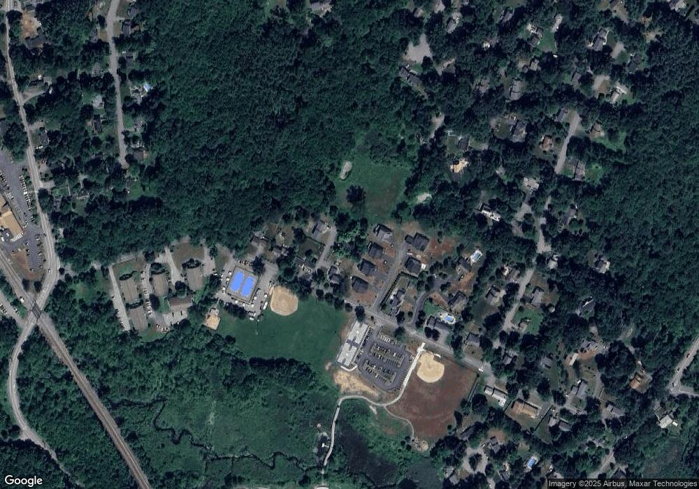
Map
Nearby Homes
- 5 Elm St Unit 2
- 2 Seneca Ct
- 3 West Rd
- 4 Half Moon Hill
- 542 Massachusetts Ave
- 54 Mohawk Dr
- 417 Central St
- 18 Captain Browns Ln
- 22 Kinsley Rd
- 56 Windsor Ave
- 342 Arlington St
- 5 Autumn Ln
- 54 Macintosh Ln
- 68 Macintosh Ln
- 134 Russet Ln
- 130 Russet Ln
- 139 Prospect St Unit 5
- 92 Willow St Unit 3
- 90 Willow St Unit 1
- 4,7,8 Crestwood Ln