5 Elmo Ln Gloucester, MA 01930
West Gloucester NeighborhoodEstimated Value: $1,441,590 - $2,176,000
4
Beds
2
Baths
2,631
Sq Ft
$688/Sq Ft
Est. Value
About This Home
This home is located at 5 Elmo Ln, Gloucester, MA 01930 and is currently estimated at $1,809,398, approximately $687 per square foot. 5 Elmo Ln is a home located in Essex County with nearby schools including West Parish and Ralph B O'maley Middle School.
Ownership History
Date
Name
Owned For
Owner Type
Purchase Details
Closed on
Jul 29, 2011
Sold by
Gillis Vincent A and Gillis Nancy E
Bought by
Kenkel David A and Kenkel Stephanie L
Current Estimated Value
Create a Home Valuation Report for This Property
The Home Valuation Report is an in-depth analysis detailing your home's value as well as a comparison with similar homes in the area
Home Values in the Area
Average Home Value in this Area
Purchase History
| Date | Buyer | Sale Price | Title Company |
|---|---|---|---|
| Kenkel David A | $780,000 | -- |
Source: Public Records
Mortgage History
| Date | Status | Borrower | Loan Amount |
|---|---|---|---|
| Previous Owner | Kenkel David A | $120,000 | |
| Previous Owner | Kenkel David A | $145,000 | |
| Previous Owner | Kenkel David A | $110,000 |
Source: Public Records
Tax History Compared to Growth
Tax History
| Year | Tax Paid | Tax Assessment Tax Assessment Total Assessment is a certain percentage of the fair market value that is determined by local assessors to be the total taxable value of land and additions on the property. | Land | Improvement |
|---|---|---|---|---|
| 2025 | $13,484 | $1,387,200 | $880,800 | $506,400 |
| 2024 | $13,009 | $1,337,000 | $838,500 | $498,500 |
| 2023 | $12,546 | $1,184,700 | $715,800 | $468,900 |
| 2022 | $11,945 | $1,018,300 | $622,500 | $395,800 |
| 2021 | $11,817 | $949,900 | $566,000 | $383,900 |
| 2020 | $11,386 | $923,400 | $566,000 | $357,400 |
| 2019 | $11,186 | $881,500 | $539,700 | $341,800 |
| 2018 | $11,188 | $865,300 | $526,500 | $338,800 |
| 2017 | $10,887 | $825,400 | $501,500 | $323,900 |
| 2016 | $10,380 | $762,700 | $479,300 | $283,400 |
| 2015 | $10,145 | $743,200 | $468,400 | $274,800 |
Source: Public Records
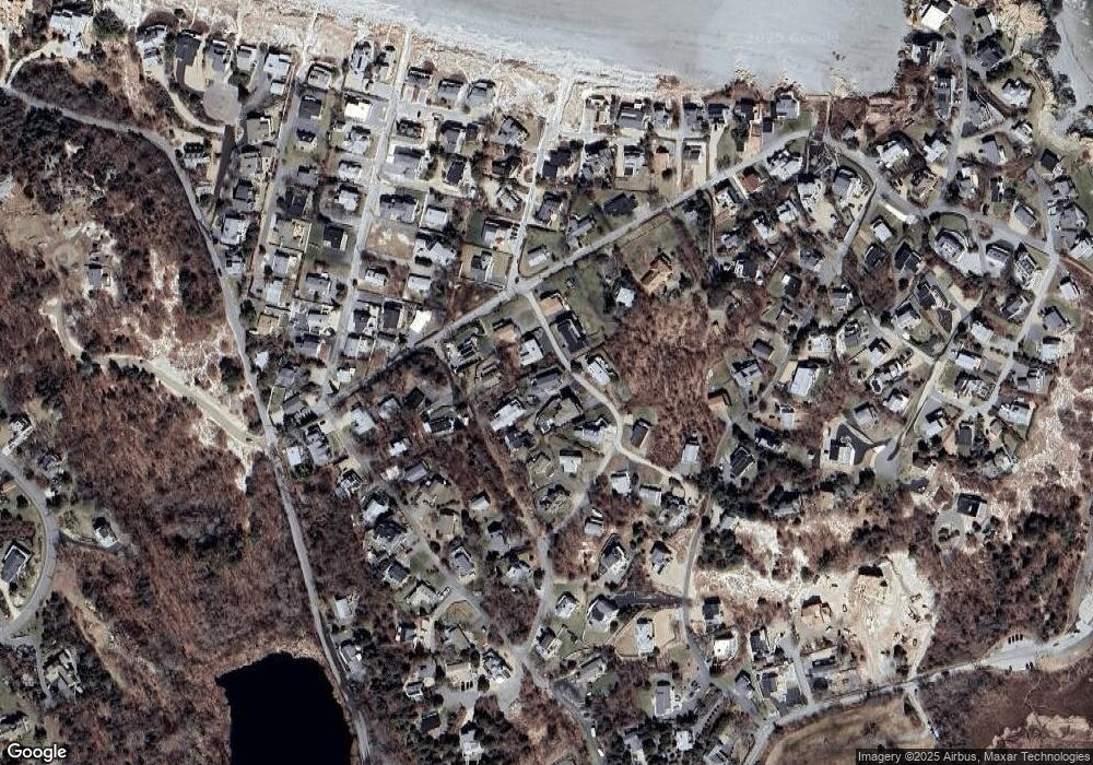
Map
Nearby Homes
- 226 Atlantic St
- 188 Atlantic St
- 6 River Rd
- 672 Washington St
- 49 Thurston Point Rd
- 30 Atlantic St
- 109 Riverview Rd
- 3 Colburn St
- 3 Colburn St Unit 1
- 3 Colburn St Unit 2
- 13 & 10 Ferry Hill Rd
- 18 Cherry St
- 48 Rowley Shore
- 65 Poplar St
- 5 Samoset Rd Unit A
- 19 Mystic Ave
- 6 Beauport Ave
- 145 Essex Ave Unit 610
- 78 Grove St
- 196 Washington St