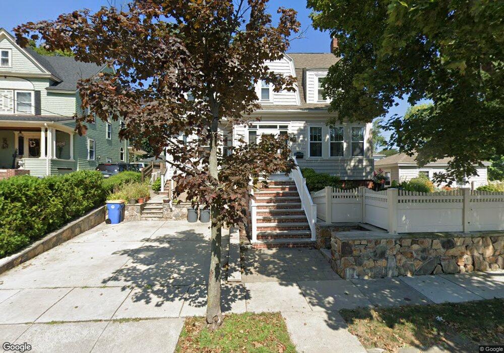
5 Emerson Rd Winthrop, MA 02152
Court Park NeighborhoodEstimated Value: $809,000 - $883,529
4
Beds
3
Baths
1,904
Sq Ft
$449/Sq Ft
Est. Value
About This Home
This home is located at 5 Emerson Rd, Winthrop, MA 02152 and is currently estimated at $854,632, approximately $448 per square foot. 5 Emerson Rd is a home located in Suffolk County with nearby schools including William P. Gorman/Fort Banks Elementary School, Arthur T. Cummings Elementary School, and Winthrop Middle School.
Ownership History
Date
Name
Owned For
Owner Type
Purchase Details
Closed on
May 31, 2002
Sold by
Noiles James M and Noiles Virginia C
Bought by
Howard Scott and Howard Sheryl
Current Estimated Value
Create a Home Valuation Report for This Property
The Home Valuation Report is an in-depth analysis detailing your home's value as well as a comparison with similar homes in the area
Home Values in the Area
Average Home Value in this Area
Purchase History
| Date | Buyer | Sale Price | Title Company |
|---|---|---|---|
| Howard Scott | $375,000 | -- |
Source: Public Records
Mortgage History
| Date | Status | Borrower | Loan Amount |
|---|---|---|---|
| Open | Howard Scott | $101,000 | |
| Closed | Howard Scott | $77,000 |
Source: Public Records
Tax History Compared to Growth
Tax History
| Year | Tax Paid | Tax Assessment Tax Assessment Total Assessment is a certain percentage of the fair market value that is determined by local assessors to be the total taxable value of land and additions on the property. | Land | Improvement |
|---|---|---|---|---|
| 2025 | $7,984 | $773,600 | $433,000 | $340,600 |
| 2024 | $7,783 | $746,900 | $416,200 | $330,700 |
| 2023 | $7,376 | $689,300 | $380,900 | $308,400 |
| 2022 | $7,065 | $600,800 | $340,300 | $260,500 |
| 2021 | $7,063 | $557,000 | $303,800 | $253,200 |
| 2020 | $7,029 | $557,000 | $303,800 | $253,200 |
| 2019 | $6,935 | $526,200 | $280,000 | $246,200 |
| 2018 | $6,642 | $469,100 | $240,400 | $228,700 |
| 2017 | $6,496 | $450,800 | $229,300 | $221,500 |
| 2016 | $6,329 | $411,800 | $199,400 | $212,400 |
| 2015 | $5,743 | $400,500 | $193,600 | $206,900 |
| 2014 | $5,601 | $359,500 | $148,900 | $210,600 |
Source: Public Records
Map
Nearby Homes
- 62 Lowell Rd
- 66 Lowell Rd
- 105 Circuit Rd
- 191 Court Rd Unit 3
- 35 Somerset Ave Unit 6
- 47 Bellevue Ave
- 10 Somerset Ave Unit 405
- 10 Somerset Ave Unit 403
- 10 Somerset Ave Unit 404
- 10 Somerset Ave Unit 408
- 10 Somerset Ave Unit 201
- 10 Somerset Ave Unit 211
- 10 Somerset Ave Unit 206
- 9 Marshall St
- 550 Pleasant St Unit 11D
- 550 Pleasant St Unit 506
- 170 Cottage Park Rd
- 191 Cottage Park Rd
- 142 Pleasant St Unit 12
- 142 Pleasant St Unit 2
- 11 Emerson Rd
- 49 Circuit Rd
- 45 Circuit Rd
- 8 Emerson Rd
- 12 Emerson Rd
- 12 Emerson Rd Unit 1
- 62 Circuit Rd
- 15 Emerson Rd
- 108 Waldemar Ave
- 39 Circuit Rd
- 69 Circuit Rd
- 26 Emerson Rd
- 21 Emerson Rd
- 19 Emerson Rd
- 19 Emerson Rd Unit 1
- 19 Emerson Rd Unit 19
- 31 Emerson Rd
- 100 Waldemar Ave
- 48 Birch Rd
- 33 Circuit Rd