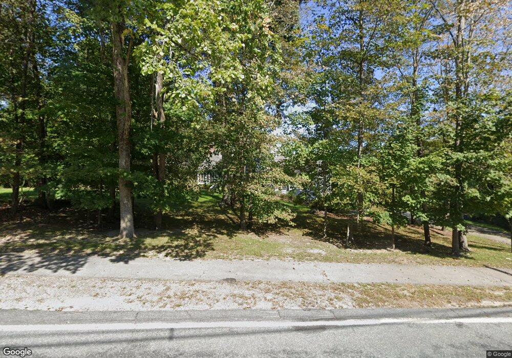
5 Farm Rd Sherborn, MA 01770
Estimated Value: $991,000 - $1,283,000
3
Beds
3
Baths
3,208
Sq Ft
$366/Sq Ft
Est. Value
About This Home
This home is located at 5 Farm Rd, Sherborn, MA 01770 and is currently estimated at $1,174,850, approximately $366 per square foot. 5 Farm Rd is a home located in Middlesex County with nearby schools including Pine Hill Elementary School, Dover-Sherborn Regional Middle School, and Dover-Sherborn Regional High School.
Ownership History
Date
Name
Owned For
Owner Type
Purchase Details
Closed on
Dec 19, 1997
Sold by
Rothman Eugene
Bought by
Marinello Anthony M and Marinello Janice
Current Estimated Value
Home Financials for this Owner
Home Financials are based on the most recent Mortgage that was taken out on this home.
Original Mortgage
$214,600
Outstanding Balance
$36,018
Interest Rate
7.14%
Mortgage Type
Purchase Money Mortgage
Estimated Equity
$1,138,832
Purchase Details
Closed on
May 4, 1992
Sold by
Mayo Jillene M
Bought by
Rothman Eugene
Create a Home Valuation Report for This Property
The Home Valuation Report is an in-depth analysis detailing your home's value as well as a comparison with similar homes in the area
Home Values in the Area
Average Home Value in this Area
Purchase History
| Date | Buyer | Sale Price | Title Company |
|---|---|---|---|
| Marinello Anthony M | $322,000 | -- | |
| Rothman Eugene | $265,000 | -- |
Source: Public Records
Mortgage History
| Date | Status | Borrower | Loan Amount |
|---|---|---|---|
| Open | Rothman Eugene | $115,000 | |
| Open | Rothman Eugene | $214,600 | |
| Previous Owner | Rothman Eugene | $195,000 |
Source: Public Records
Tax History Compared to Growth
Tax History
| Year | Tax Paid | Tax Assessment Tax Assessment Total Assessment is a certain percentage of the fair market value that is determined by local assessors to be the total taxable value of land and additions on the property. | Land | Improvement |
|---|---|---|---|---|
| 2025 | $14,506 | $874,900 | $465,000 | $409,900 |
| 2024 | $13,791 | $813,600 | $412,800 | $400,800 |
| 2023 | $13,824 | $767,600 | $412,800 | $354,800 |
| 2022 | $13,283 | $698,000 | $401,700 | $296,300 |
| 2021 | $13,600 | $692,800 | $401,700 | $291,100 |
| 2020 | $12,811 | $658,300 | $401,700 | $256,600 |
| 2019 | $12,237 | $623,700 | $401,700 | $222,000 |
| 2018 | $12,037 | $623,700 | $401,700 | $222,000 |
| 2017 | $12,247 | $598,600 | $401,700 | $196,900 |
| 2016 | $12,241 | $595,100 | $401,700 | $193,400 |
| 2015 | $11,895 | $585,400 | $388,700 | $196,700 |
| 2014 | $11,413 | $561,100 | $376,700 | $184,400 |
Source: Public Records
Map
Nearby Homes