5 Federal St Billerica, MA 01821
Estimated Value: $4,679,793
--
Bed
--
Bath
26,700
Sq Ft
$175/Sq Ft
Est. Value
About This Home
This home is located at 5 Federal St, Billerica, MA 01821 and is currently estimated at $4,679,793, approximately $175 per square foot. 5 Federal St is a home located in Middlesex County with nearby schools including Billerica Memorial High School and Knowledge Beginnings South.
Ownership History
Date
Name
Owned For
Owner Type
Purchase Details
Closed on
Oct 8, 2019
Sold by
Atlantic & Philadlphia Rlty
Bought by
Jaw Jim Hsieh Llc
Current Estimated Value
Purchase Details
Closed on
Mar 31, 2017
Sold by
Ws Nv 5 Federal St Llc
Bought by
Atlantic Philadelpha R
Purchase Details
Closed on
Mar 2, 2016
Sold by
Rreef America Reit 3 & Z
Bought by
Ws Nv 5 Federal St Llc
Purchase Details
Closed on
Jun 23, 1999
Sold by
Mgi Federal St Inc
Bought by
Bcia Ne Holdings Llc
Create a Home Valuation Report for This Property
The Home Valuation Report is an in-depth analysis detailing your home's value as well as a comparison with similar homes in the area
Home Values in the Area
Average Home Value in this Area
Purchase History
| Date | Buyer | Sale Price | Title Company |
|---|---|---|---|
| Jaw Jim Hsieh Llc | $2,988,550 | -- | |
| Atlantic Philadelpha R | $2,800,000 | -- | |
| Ws Nv 5 Federal St Llc | $2,400,000 | -- | |
| Bcia Ne Holdings Llc | $5,046,026 | -- |
Source: Public Records
Mortgage History
| Date | Status | Borrower | Loan Amount |
|---|---|---|---|
| Previous Owner | Bcia Ne Holdings Llc | $15,000,000 |
Source: Public Records
Tax History Compared to Growth
Tax History
| Year | Tax Paid | Tax Assessment Tax Assessment Total Assessment is a certain percentage of the fair market value that is determined by local assessors to be the total taxable value of land and additions on the property. | Land | Improvement |
|---|---|---|---|---|
| 2025 | $79,479 | $3,145,200 | $1,196,300 | $1,948,900 |
| 2024 | $71,025 | $2,830,800 | $928,500 | $1,902,300 |
| 2023 | $74,875 | $2,830,800 | $928,500 | $1,902,300 |
| 2022 | $76,713 | $2,665,500 | $857,000 | $1,808,500 |
| 2021 | $79,672 | $2,665,500 | $857,000 | $1,808,500 |
| 2020 | $80,045 | $2,665,500 | $823,000 | $1,842,500 |
| 2019 | $106,527 | $3,391,500 | $514,200 | $2,877,300 |
| 2018 | $114,124 | $3,391,500 | $692,400 | $2,699,100 |
| 2017 | $119,167 | $3,563,600 | $1,145,300 | $2,418,300 |
| 2016 | $124,575 | $3,750,000 | $514,200 | $3,235,800 |
| 2015 | $182,197 | $5,576,900 | $1,094,800 | $4,482,100 |
| 2014 | $160,285 | $4,833,700 | $1,094,800 | $3,738,900 |
Source: Public Records
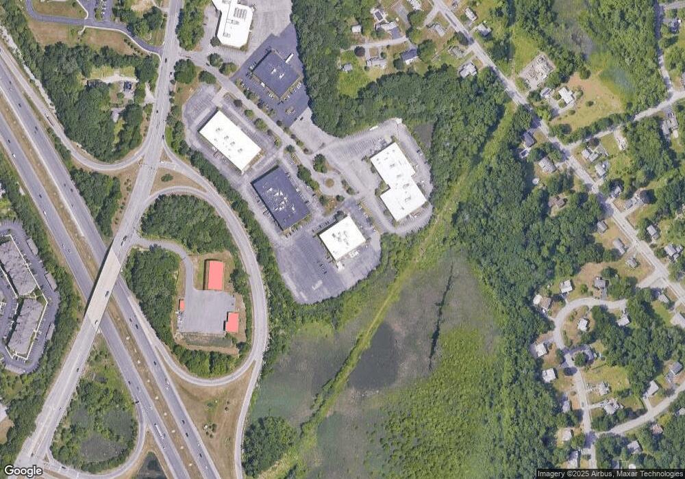
Map
Nearby Homes
- 454 Middlesex Turnpike
- 463 Middlesex Turnpike
- 120 Concord Rd
- 110 Friendship St
- 4 Ranlett Ln
- 8 Water St
- 22 Osceola Ln
- 5 Karen Cir Unit 16
- 56 Glad Valley Dr
- 14 Elsie Ave
- 14 Kenmar Dr Unit 111
- 22 Kenmar Dr Unit 194Y
- 5 Day St
- 19 Parker St
- 10 Avondale Ave
- 32 Marshall St
- 33 Pages Ct
- 13 Parker St
- 10 Pearl Rd
- 12 Springs Rd
- 3 Federal St Unit 300
- 3 Federal St
- 3 Federal St
- 4 Stearns Ln
- 2 Stearns Ln
- 429 Middlesex Turnpike
- 423 Middlesex Turnpike
- 439 Middlesex Turnpike
- 439 Middlesex Turnpike Unit 1
- 439 Middlesex Turnpike Unit 2
- 439 Middlesex Turnpike Unit 3
- 5 Stearns Ln
- 5 Hattie Ln
- 421 Middlesex Turnpike
- 7 Hattie Ln
- 9 Hattie Ln
- 3 Stearns Ln
- 437 Middlesex Turnpike
- 417 Middlesex Turnpike
- 415 Middlesex Turnpike