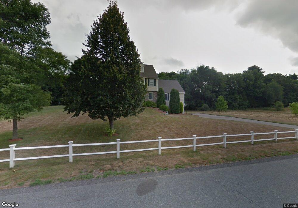
5 Federico Dr Wrentham, MA 02093
Estimated Value: $882,985 - $1,088,000
4
Beds
3
Baths
2,688
Sq Ft
$371/Sq Ft
Est. Value
About This Home
This home is located at 5 Federico Dr, Wrentham, MA 02093 and is currently estimated at $995,996, approximately $370 per square foot. 5 Federico Dr is a home located in Norfolk County with nearby schools including Delaney Elementary School, Charles E Roderick, and Foxborough Regional Charter School.
Ownership History
Date
Name
Owned For
Owner Type
Purchase Details
Closed on
Apr 9, 1998
Sold by
Gino Federico Rt
Bought by
Peterson David A
Current Estimated Value
Home Financials for this Owner
Home Financials are based on the most recent Mortgage that was taken out on this home.
Original Mortgage
$138,000
Outstanding Balance
$25,922
Interest Rate
6.98%
Mortgage Type
Purchase Money Mortgage
Estimated Equity
$970,074
Create a Home Valuation Report for This Property
The Home Valuation Report is an in-depth analysis detailing your home's value as well as a comparison with similar homes in the area
Home Values in the Area
Average Home Value in this Area
Purchase History
| Date | Buyer | Sale Price | Title Company |
|---|---|---|---|
| Peterson David A | $287,500 | -- |
Source: Public Records
Mortgage History
| Date | Status | Borrower | Loan Amount |
|---|---|---|---|
| Open | Peterson David A | $138,000 |
Source: Public Records
Tax History Compared to Growth
Tax History
| Year | Tax Paid | Tax Assessment Tax Assessment Total Assessment is a certain percentage of the fair market value that is determined by local assessors to be the total taxable value of land and additions on the property. | Land | Improvement |
|---|---|---|---|---|
| 2025 | $8,872 | $765,500 | $302,100 | $463,400 |
| 2024 | $8,574 | $714,500 | $302,100 | $412,400 |
| 2023 | $8,457 | $670,100 | $274,500 | $395,600 |
| 2022 | $8,058 | $589,500 | $256,000 | $333,500 |
| 2021 | $7,461 | $530,300 | $223,400 | $306,900 |
| 2020 | $7,543 | $529,300 | $198,600 | $330,700 |
| 2019 | $7,259 | $514,100 | $198,600 | $315,500 |
| 2018 | $7,140 | $501,400 | $198,800 | $302,600 |
| 2017 | $6,997 | $491,000 | $195,000 | $296,000 |
| 2016 | $6,850 | $479,700 | $189,400 | $290,300 |
| 2015 | $6,648 | $443,800 | $166,900 | $276,900 |
| 2014 | $6,536 | $426,900 | $160,500 | $266,400 |
Source: Public Records
Map
Nearby Homes
- 362 East St
- 1 Lorraine Metcalf Dr
- 65 Pond St
- 270 Dedham St
- 25 Foxboro Rd
- 10 Nature View Dr
- 15 Nature View Dr
- 11 Goodwin Dr
- 7 Hill St Unit 10
- 483 Thurston St
- 20 Valley St Unit 20
- 10 W Birch Rd
- 71 Pond St
- 0 W Birch Rd
- 120 Hawes St
- 3 Oak Rd
- 319 Taunton St
- 246 Forest Grove Ave
- 131 Creek St Unit 7
- 11 Earle Stewart Ln