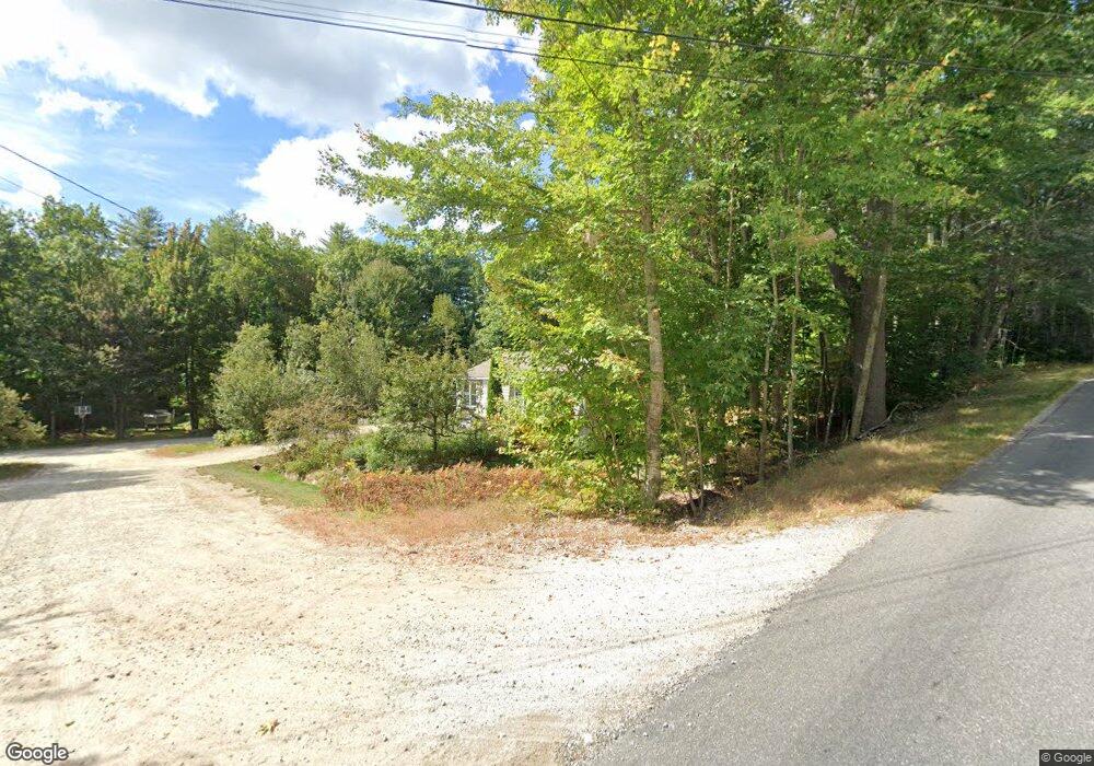
5 Fernwood Ln New Gloucester, ME 04260
Estimated Value: $432,647 - $512,000
3
Beds
2
Baths
1,232
Sq Ft
$378/Sq Ft
Est. Value
About This Home
This home is located at 5 Fernwood Ln, New Gloucester, ME 04260 and is currently estimated at $465,662, approximately $377 per square foot. 5 Fernwood Ln is a home located in Cumberland County with nearby schools including Gray-New Gloucester High School.
Ownership History
Date
Name
Owned For
Owner Type
Purchase Details
Closed on
Dec 18, 2007
Sold by
Tanberg Trail Assoc Llc
Bought by
Swanson Joseph T and Mendez Swanson Mercedes E
Current Estimated Value
Home Financials for this Owner
Home Financials are based on the most recent Mortgage that was taken out on this home.
Original Mortgage
$212,160
Outstanding Balance
$133,069
Interest Rate
6.3%
Mortgage Type
FHA
Estimated Equity
$332,593
Create a Home Valuation Report for This Property
The Home Valuation Report is an in-depth analysis detailing your home's value as well as a comparison with similar homes in the area
Home Values in the Area
Average Home Value in this Area
Purchase History
| Date | Buyer | Sale Price | Title Company |
|---|---|---|---|
| Swanson Joseph T | -- | -- |
Source: Public Records
Mortgage History
| Date | Status | Borrower | Loan Amount |
|---|---|---|---|
| Open | Swanson Joseph T | $212,160 |
Source: Public Records
Tax History Compared to Growth
Tax History
| Year | Tax Paid | Tax Assessment Tax Assessment Total Assessment is a certain percentage of the fair market value that is determined by local assessors to be the total taxable value of land and additions on the property. | Land | Improvement |
|---|---|---|---|---|
| 2025 | $3,527 | $228,008 | $76,800 | $151,208 |
| 2024 | $3,395 | $228,008 | $76,800 | $151,208 |
| 2023 | $3,258 | $228,008 | $76,800 | $151,208 |
| 2022 | $3,147 | $228,008 | $76,800 | $151,208 |
| 2021 | $3,147 | $228,008 | $76,800 | $151,208 |
| 2020 | $3,112 | $228,008 | $76,800 | $151,208 |
| 2019 | $2,669 | $157,900 | $58,800 | $99,100 |
| 2018 | $2,495 | $157,900 | $58,800 | $99,100 |
| 2017 | $2,463 | $157,900 | $58,800 | $99,100 |
| 2016 | $2,321 | $157,900 | $58,800 | $99,100 |
| 2015 | $2,313 | $157,900 | $58,800 | $99,100 |
| 2014 | $2,290 | $157,900 | $58,800 | $99,100 |
| 2013 | $2,124 | $157,900 | $58,800 | $99,100 |
Source: Public Records
Map
Nearby Homes
- 155 & 151 Gloucester Hill Rd
- 0018-C Gloucester Hill Rd
- 160 Gloucester Hill Rd
- 29 Rockwood Dr
- 10 Cobbs Bridge Rd
- 22 Shaw Rd
- 0 Mayall
- TBD Targett Rd
- 271 Bennett Rd
- 200 Woodman Rd
- 164 Intervale Rd
- 24 Swamp Rd
- 244 Allen Rd
- 284 Allen Rd
- 27 Callaway Dr Unit 27A
- 27 Callaway Dr Unit 27B
- 026-01 Dow Ln
- 17 Callaway Dr Unit 17
- 1 Colley Hill Rd
- 343 Shaker Rd
- 22 Fernwood Ln
- 4 Fernwood Ln
- 6 Fernwood Ln
- 186 Penney Rd
- 176 Penney Rd
- 7 Briarwood Dr
- 5 Briarwood Dr
- 9 Briarwood Dr
- L3 Briarwood
- 3 Briarwood
- Lot 1 Briarwood Dr
- 1 Briarwood Dr
- 11 Briarwood Dr
- 50 Briarwood Dr
- Lot12 Briarwood
- 4 Briarwood Dr
- 2 Briarwood Dr
- 60 Briarwood Dr
- 10 Briarwood Dr
- 12 Briarwood Dr