5 Fire Lane 5 Wakefield, RI 02879
Estimated Value: $511,000 - $795,000
2
Beds
2
Baths
500
Sq Ft
$1,248/Sq Ft
Est. Value
About This Home
This home is located at 5 Fire Lane 5, Wakefield, RI 02879 and is currently estimated at $623,785, approximately $1,247 per square foot. 5 Fire Lane 5 is a home located in Washington County with nearby schools including South Kingstown High School.
Ownership History
Date
Name
Owned For
Owner Type
Purchase Details
Closed on
Nov 20, 2017
Sold by
Roberts Michael D and Roberts Natalie A
Bought by
Murray Deirdre A
Current Estimated Value
Home Financials for this Owner
Home Financials are based on the most recent Mortgage that was taken out on this home.
Original Mortgage
$254,700
Outstanding Balance
$213,426
Interest Rate
3.85%
Mortgage Type
Purchase Money Mortgage
Estimated Equity
$410,359
Purchase Details
Closed on
Sep 19, 2008
Sold by
Roberts Michael D and Roberts Natalie A
Bought by
Roberts Michael D and Roberts Natalie A
Purchase Details
Closed on
Jan 10, 1995
Sold by
Moffat David M and Moffat Evelyn
Bought by
Roberts Michael D and Roberts Natalie
Create a Home Valuation Report for This Property
The Home Valuation Report is an in-depth analysis detailing your home's value as well as a comparison with similar homes in the area
Home Values in the Area
Average Home Value in this Area
Purchase History
| Date | Buyer | Sale Price | Title Company |
|---|---|---|---|
| Murray Deirdre A | $283,000 | -- | |
| Roberts Michael D | -- | -- | |
| Roberts Michael D | $75,000 | -- |
Source: Public Records
Mortgage History
| Date | Status | Borrower | Loan Amount |
|---|---|---|---|
| Open | Murray Deirdre A | $254,700 |
Source: Public Records
Tax History
| Year | Tax Paid | Tax Assessment Tax Assessment Total Assessment is a certain percentage of the fair market value that is determined by local assessors to be the total taxable value of land and additions on the property. | Land | Improvement |
|---|---|---|---|---|
| 2025 | $3,316 | $488,300 | $392,200 | $96,100 |
| 2024 | $3,201 | $488,700 | $392,200 | $96,500 |
| 2023 | $3,095 | $332,400 | $261,500 | $70,900 |
| 2022 | $2,992 | $332,400 | $261,500 | $70,900 |
| 2021 | $2,945 | $332,400 | $261,500 | $70,900 |
| 2020 | $3,146 | $300,200 | $261,300 | $38,900 |
| 2019 | $3,071 | $300,200 | $261,300 | $38,900 |
| 2018 | $2,987 | $300,200 | $261,300 | $38,900 |
| 2017 | $2,942 | $278,600 | $239,200 | $39,400 |
| 2016 | $2,808 | $278,600 | $239,200 | $39,400 |
| 2015 | $2,769 | $278,600 | $239,200 | $39,400 |
| 2014 | $2,827 | $281,600 | $238,200 | $43,400 |
Source: Public Records
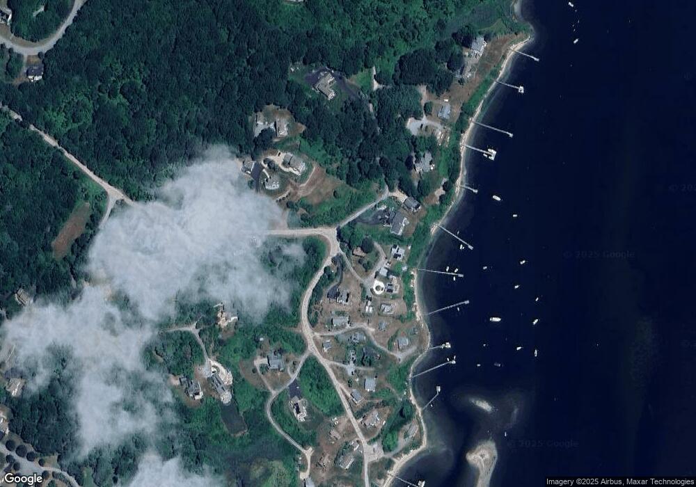
Map
Nearby Homes
- 380 Camp Fuller Rd
- 17 Goose Island Rd
- 691 Succotash Rd
- 14 E Pointe Ct Unit 14
- 6 MacAlder St
- 262 Wood Hill Rd
- 1138 Succotash Rd
- 1140 Succotash Rd
- 28 Palm Beach Ave
- 100 Spartina Cove Way
- 609 Point Judith Rd
- 210 Washington St
- 200 Clarke Rd Unit A208
- 576 Point Judith Rd
- 660 Point Judith Rd Unit C4
- 47 Saint James Rd
- 0 Point Judith Rd
- 0 Hemlock Ave
- 64 Burnside Ave
- 0 Stanton Ave
- 15 Fire Lane 5
- 35 Fire Lane 5
- 18 Fire Lane 5
- 31 Fire La 2
- 0 - Lot7 Spartina Cove Way
- 535 Jerry Brown Farm Rd
- 6 Fire Lane 6
- 4 Fire Lane 6
- 4 Fire Lane 6 Unit 6
- 27 Fire Lane 2
- 27 Fire Lane 2
- 7 Fire Lane 7
- 22 Jerry Brown Farm Rd
- 12 Fire Lane 4
- 10 Fire Lane 4
- 10 Fire Lane Four
- 10 Fire Ln 4
- 31 Fire Lane 2
- 30 Fire Lane 6
- 580 Jerry Brown Farm Rd
Your Personal Tour Guide
Ask me questions while you tour the home.