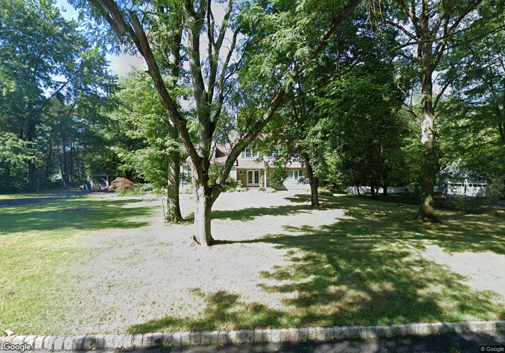
5 Flintlock Ct Basking Ridge, NJ 07920
Estimated Value: $1,199,711 - $1,334,000
Studio
--
Bath
3,138
Sq Ft
$408/Sq Ft
Est. Value
About This Home
This home is located at 5 Flintlock Ct, Basking Ridge, NJ 07920 and is currently estimated at $1,281,678, approximately $408 per square foot. 5 Flintlock Ct is a home located in Somerset County with nearby schools including Oak Street Elementary School, William Annin Middle School, and Ridge High School.
Ownership History
Date
Name
Owned For
Owner Type
Purchase Details
Closed on
Aug 7, 1996
Sold by
Hidalgo Alberto
Bought by
Mabrouck Samy and Kassem Hoda
Current Estimated Value
Home Financials for this Owner
Home Financials are based on the most recent Mortgage that was taken out on this home.
Original Mortgage
$300,000
Outstanding Balance
$23,441
Interest Rate
8.08%
Estimated Equity
$1,258,237
Create a Home Valuation Report for This Property
The Home Valuation Report is an in-depth analysis detailing your home's value as well as a comparison with similar homes in the area
Home Values in the Area
Average Home Value in this Area
Purchase History
| Date | Buyer | Sale Price | Title Company |
|---|---|---|---|
| Mabrouck Samy | $432,000 | -- |
Source: Public Records
Mortgage History
| Date | Status | Borrower | Loan Amount |
|---|---|---|---|
| Open | Mabrouck Samy | $300,000 |
Source: Public Records
Tax History
| Year | Tax Paid | Tax Assessment Tax Assessment Total Assessment is a certain percentage of the fair market value that is determined by local assessors to be the total taxable value of land and additions on the property. | Land | Improvement |
|---|---|---|---|---|
| 2025 | $14,807 | $919,800 | $407,000 | $512,800 |
| 2024 | $14,807 | $832,300 | $378,500 | $453,800 |
| 2023 | $14,747 | $781,900 | $378,500 | $403,400 |
| 2022 | $15,161 | $753,900 | $378,500 | $375,400 |
| 2021 | $14,538 | $689,000 | $359,500 | $329,500 |
| 2020 | $14,049 | $670,900 | $349,200 | $321,700 |
| 2019 | $13,939 | $685,300 | $349,200 | $336,100 |
| 2018 | $13,837 | $690,100 | $349,200 | $340,900 |
| 2017 | $13,826 | $695,100 | $349,200 | $345,900 |
| 2016 | $14,281 | $732,000 | $358,700 | $373,300 |
| 2015 | $14,556 | $759,700 | $367,500 | $392,200 |
| 2014 | $14,254 | $737,000 | $367,500 | $369,500 |
Source: Public Records
Map
Nearby Homes
- 12 Wayne Terrace
- 61 Queen Anne Dr
- 24 Wharton Way
- 36 Debra Ln
- 115 Berkeley Cir
- 105 Annin Rd
- 48 Wisteria Way
- 24 Chelsea Ct
- 59 Manor Dr
- 173 W Oak St
- 7 Valley View Dr
- 40 Rankin Ave
- 28 Lafayette Ln
- 15 Columbia Dr
- 23 Charlotte Hill Dr
- 12 Dayton Crescent
- 15-10 Pine St
- 32 Garibaldi St
- 14 Bradford Ln
- 496 Mine Brook Rd
Your Personal Tour Guide
Ask me questions while you tour the home.