Estimated Value: $1,280,939 - $1,631,000
5
Beds
3
Baths
3,168
Sq Ft
$448/Sq Ft
Est. Value
About This Home
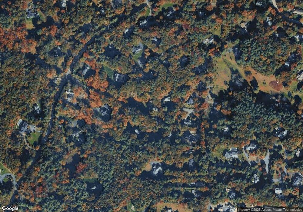
This home is located at 5 Forest St, Dover, MA 02030 and is currently estimated at $1,417,985, approximately $447 per square foot. 5 Forest St is a home located in Norfolk County with nearby schools including Chickering Elementary School, Dover-Sherborn Regional Middle School, and Dover-Sherborn Regional High School.
Ownership History
Date
Name
Owned For
Owner Type
Purchase Details
Closed on
Nov 30, 1993
Sold by
Curtis Fred M and Curtis Mary D
Bought by
Daly Jeremiah A and Daly Catharine
Current Estimated Value
Home Financials for this Owner
Home Financials are based on the most recent Mortgage that was taken out on this home.
Original Mortgage
$203,150
Interest Rate
6.72%
Mortgage Type
Purchase Money Mortgage
Create a Home Valuation Report for This Property
The Home Valuation Report is an in-depth analysis detailing your home's value as well as a comparison with similar homes in the area
Home Values in the Area
Average Home Value in this Area
Purchase History
| Date | Buyer | Sale Price | Title Company |
|---|---|---|---|
| Daly Jeremiah A | $375,000 | -- |
Source: Public Records
Mortgage History
| Date | Status | Borrower | Loan Amount |
|---|---|---|---|
| Closed | Daly Jeremiah A | $203,150 | |
| Previous Owner | Daly Jeremiah A | $91,000 | |
| Previous Owner | Daly Jeremiah A | $100,000 |
Source: Public Records
Tax History
| Year | Tax Paid | Tax Assessment Tax Assessment Total Assessment is a certain percentage of the fair market value that is determined by local assessors to be the total taxable value of land and additions on the property. | Land | Improvement |
|---|---|---|---|---|
| 2025 | $11,534 | $1,023,400 | $540,400 | $483,000 |
| 2024 | $10,847 | $989,700 | $540,400 | $449,300 |
| 2023 | $10,783 | $884,600 | $471,600 | $413,000 |
| 2022 | $9,499 | $764,800 | $432,400 | $332,400 |
| 2021 | $9,820 | $761,800 | $432,400 | $329,400 |
| 2020 | $9,782 | $761,800 | $432,400 | $329,400 |
| 2019 | $9,850 | $761,800 | $432,400 | $329,400 |
| 2018 | $9,046 | $704,500 | $393,200 | $311,300 |
| 2017 | $9,634 | $738,200 | $393,200 | $345,000 |
| 2016 | $9,082 | $705,100 | $373,600 | $331,500 |
| 2015 | $9,040 | $711,800 | $373,600 | $338,200 |
Source: Public Records
Map
Nearby Homes
Your Personal Tour Guide
Ask me questions while you tour the home.