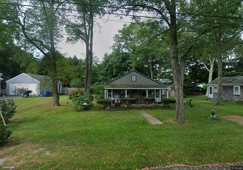
5 Freeman St Buzzards Bay, MA 02532
Estimated Value: $364,000 - $432,000
2
Beds
1
Bath
576
Sq Ft
$674/Sq Ft
Est. Value
About This Home
This home is located at 5 Freeman St, Buzzards Bay, MA 02532 and is currently estimated at $388,021, approximately $673 per square foot. 5 Freeman St is a home located in Barnstable County with nearby schools including Bourne High School, St Margaret Regional School, and Cadence Academy Preschool - Bourne.
Ownership History
Date
Name
Owned For
Owner Type
Purchase Details
Closed on
Dec 2, 2019
Sold by
Byrnes Kathleen C
Bought by
Byrnes Irt and Byrnes
Current Estimated Value
Purchase Details
Closed on
Jun 11, 2008
Sold by
Markonish John C
Bought by
Byrnes Kathleen C
Home Financials for this Owner
Home Financials are based on the most recent Mortgage that was taken out on this home.
Original Mortgage
$105,000
Interest Rate
6.13%
Mortgage Type
Purchase Money Mortgage
Create a Home Valuation Report for This Property
The Home Valuation Report is an in-depth analysis detailing your home's value as well as a comparison with similar homes in the area
Purchase History
| Date | Buyer | Sale Price | Title Company |
|---|---|---|---|
| Byrnes Irt | -- | None Available | |
| Byrnes Irt | -- | None Available | |
| Byrnes Kathleen C | $150,000 | -- | |
| Byrnes Kathleen C | $150,000 | -- |
Source: Public Records
Mortgage History
| Date | Status | Borrower | Loan Amount |
|---|---|---|---|
| Previous Owner | Byrnes Kathleen C | $105,000 | |
| Previous Owner | Byrnes Kathleen C | $105,000 |
Source: Public Records
Tax History
| Year | Tax Paid | Tax Assessment Tax Assessment Total Assessment is a certain percentage of the fair market value that is determined by local assessors to be the total taxable value of land and additions on the property. | Land | Improvement |
|---|---|---|---|---|
| 2025 | $2,503 | $320,500 | $216,100 | $104,400 |
| 2024 | $2,448 | $305,200 | $205,800 | $99,400 |
| 2023 | $2,380 | $270,200 | $182,100 | $88,100 |
| 2022 | $2,333 | $231,200 | $161,200 | $70,000 |
| 2021 | $2,267 | $210,500 | $146,700 | $63,800 |
| 2020 | $2,179 | $202,900 | $145,300 | $57,600 |
| 2019 | $2,099 | $199,700 | $145,300 | $54,400 |
| 2018 | $1,963 | $186,200 | $138,400 | $47,800 |
| 2017 | $1,898 | $184,300 | $137,100 | $47,200 |
| 2016 | $1,850 | $182,100 | $137,100 | $45,000 |
Source: Public Records
Map
Nearby Homes
- 90-92 Sandwich Rd Unit 2
- 90-92 Sandwich Rd Unit 9C
- 60 Sandwich Rd
- 6 Honora Ct
- 38 Old Bridge Rd
- 44 Cotuit Rd
- 304 Main St
- 24 Ships View Terrace
- 5 Sea Knoll Ct
- 48 Maple St
- 46 Holt Rd Unit A
- 13 Laurel Hill Ct
- 26 Carnoustie Rd
- 1 Hollyhock Knoll Ct Unit 1
- 4 Hollyhock Knoll Ct Unit 4
- 4 Hollyhock Knoll Ct Unit 4
- 4 Mainstay Ln
- 151 - 153 Main St
- 7 Mizzen Ln
- 29 Weather Deck Rd