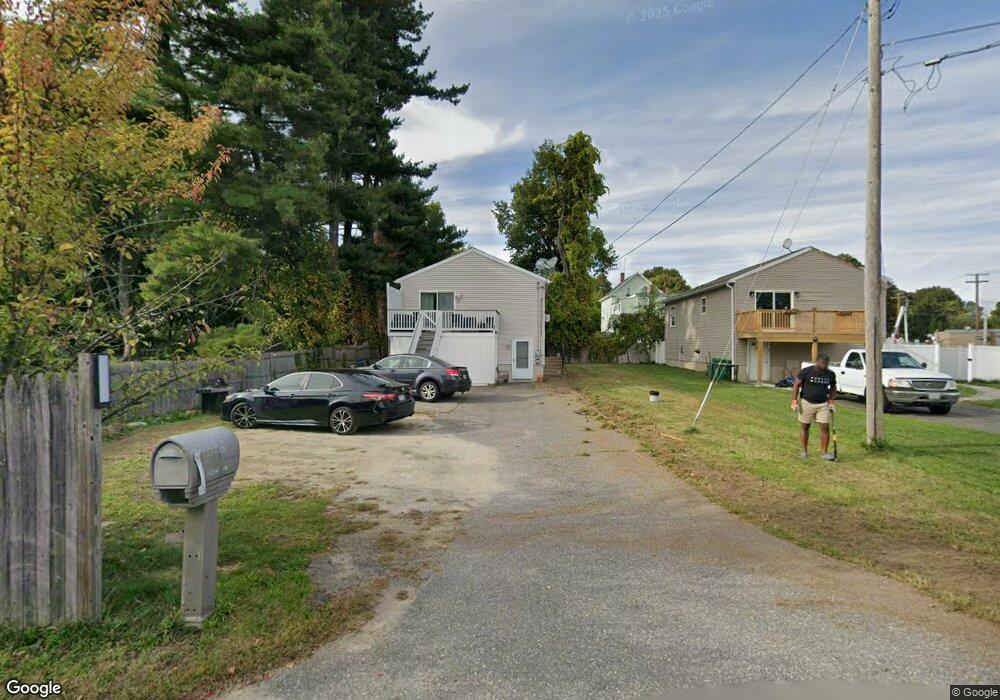
5 Grady St Clinton, MA 01510
Estimated Value: $359,000 - $480,504
4
Beds
2
Baths
1,920
Sq Ft
$221/Sq Ft
Est. Value
About This Home
This home is located at 5 Grady St, Clinton, MA 01510 and is currently estimated at $424,876, approximately $221 per square foot. 5 Grady St is a home located in Worcester County with nearby schools including Clinton Elementary School, Clinton Senior High School, and Clinton Middle School.
Ownership History
Date
Name
Owned For
Owner Type
Purchase Details
Closed on
Jan 6, 2012
Sold by
Compere Ermilia
Bought by
Compere Ermilia and Bruno Maryo D
Current Estimated Value
Purchase Details
Closed on
May 14, 2003
Sold by
Hallice Kathleen
Bought by
Compere Ermilia
Home Financials for this Owner
Home Financials are based on the most recent Mortgage that was taken out on this home.
Original Mortgage
$160,000
Interest Rate
5.84%
Mortgage Type
Purchase Money Mortgage
Purchase Details
Closed on
Sep 15, 2000
Sold by
Pender Peter M
Bought by
Hallice Katlheen
Purchase Details
Closed on
Dec 18, 1996
Sold by
Duffy Judith A
Bought by
Pender Peter M
Create a Home Valuation Report for This Property
The Home Valuation Report is an in-depth analysis detailing your home's value as well as a comparison with similar homes in the area
Home Values in the Area
Average Home Value in this Area
Purchase History
| Date | Buyer | Sale Price | Title Company |
|---|---|---|---|
| Compere Ermilia | -- | -- | |
| Compere Ermilia | $200,000 | -- | |
| Hallice Katlheen | $122,000 | -- | |
| Pender Peter M | $80,000 | -- |
Source: Public Records
Mortgage History
| Date | Status | Borrower | Loan Amount |
|---|---|---|---|
| Previous Owner | Pender Peter M | $160,000 | |
| Previous Owner | Pender Peter M | $125,000 | |
| Previous Owner | Pender Peter M | $83,000 |
Source: Public Records
Tax History Compared to Growth
Tax History
| Year | Tax Paid | Tax Assessment Tax Assessment Total Assessment is a certain percentage of the fair market value that is determined by local assessors to be the total taxable value of land and additions on the property. | Land | Improvement |
|---|---|---|---|---|
| 2025 | $4,740 | $356,400 | $80,500 | $275,900 |
| 2024 | $4,544 | $345,800 | $80,500 | $265,300 |
| 2023 | $4,411 | $329,900 | $73,200 | $256,700 |
| 2022 | $4,257 | $285,500 | $66,500 | $219,000 |
| 2021 | $4,082 | $256,100 | $63,300 | $192,800 |
| 2020 | $3,967 | $256,100 | $63,300 | $192,800 |
| 2019 | $3,911 | $245,500 | $61,500 | $184,000 |
| 2018 | $4,240 | $249,700 | $69,200 | $180,500 |
| 2017 | $4,167 | $235,800 | $57,600 | $178,200 |
| 2016 | $4,072 | $235,800 | $57,600 | $178,200 |
| 2015 | $3,657 | $219,500 | $56,000 | $163,500 |
| 2014 | $3,545 | $219,500 | $56,000 | $163,500 |
Source: Public Records
Map
Nearby Homes
- 1 Grady St
- 22 Forest Ave
- 55 Sterling St Unit 306
- 55 Sterling St Unit 314
- 55 Sterling St Unit 212
- 57 Clark St
- 201-203 Stone St
- 201 Stone St Unit 203
- 459 High St
- 51 Rigby St
- 23 Ash St
- 216 Walnut St
- 19 Magnolia Ave
- 89 1/2 Walnut St
- 0 Parker Rd
- 155 Cedar St
- 37 Grove St Unit 37
- 30 John F. Kennedy Ave
- 13 Simon Ct
- 54 S Meadow Rd
- 19 Marshall St
- 135 Lawrence St
- 139 Lawrence St
- 123 Lawrence St
- 123 Lawrence St Unit 2
- 17 Marshall St
- 119 Lawrence St
- 9 Marshall St
- 89 Parker St
- 144 Lawrence St
- 136 Lawrence St
- 128 Lawrence St
- 128 Lawrence St Unit 1
- 16 Marshall St
- 7 Marshall St
- 14 Marshall St
- 99 Lawrence St
- 12 Marshall St
- 152 Lawrence St
- 122 Lawrence St