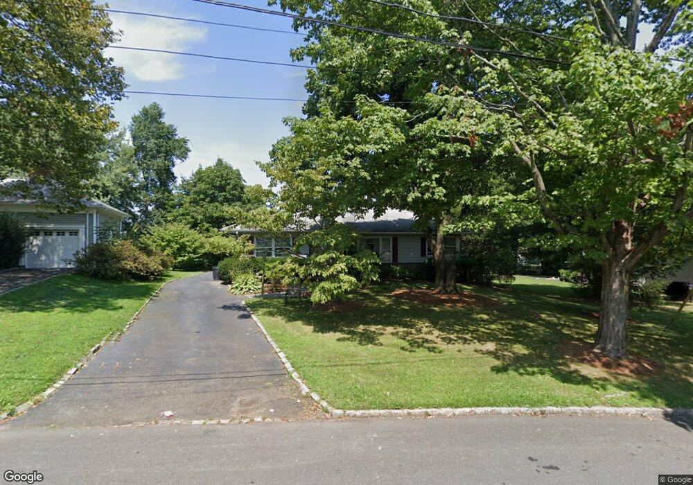
5 Harvey Dr Summit, NJ 07901
Estimated Value: $784,259 - $1,169,000
Studio
--
Bath
1,367
Sq Ft
$742/Sq Ft
Est. Value
About This Home
This home is located at 5 Harvey Dr, Summit, NJ 07901 and is currently estimated at $1,014,815, approximately $742 per square foot. 5 Harvey Dr is a home located in Union County with nearby schools including L C Johnson Summit Middle School, Summit Sr High School, and Kent Place School.
Ownership History
Date
Name
Owned For
Owner Type
Purchase Details
Closed on
Mar 12, 1999
Sold by
Moeller Kathleen A and Eaton Doris A
Bought by
Pardi Nina L
Current Estimated Value
Home Financials for this Owner
Home Financials are based on the most recent Mortgage that was taken out on this home.
Original Mortgage
$150,000
Outstanding Balance
$36,303
Interest Rate
6.75%
Mortgage Type
Stand Alone First
Estimated Equity
$978,512
Purchase Details
Closed on
Jul 14, 1995
Sold by
Drummond J Alan and Gerity Edith H
Bought by
Moeller Kathleen A and Eaton Doris A
Create a Home Valuation Report for This Property
The Home Valuation Report is an in-depth analysis detailing your home's value as well as a comparison with similar homes in the area
Home Values in the Area
Average Home Value in this Area
Purchase History
| Date | Buyer | Sale Price | Title Company |
|---|---|---|---|
| Pardi Nina L | $275,000 | -- | |
| Moeller Kathleen A | $190,000 | -- |
Source: Public Records
Mortgage History
| Date | Status | Borrower | Loan Amount |
|---|---|---|---|
| Open | Pardi Nina L | $150,000 |
Source: Public Records
Tax History
| Year | Tax Paid | Tax Assessment Tax Assessment Total Assessment is a certain percentage of the fair market value that is determined by local assessors to be the total taxable value of land and additions on the property. | Land | Improvement |
|---|---|---|---|---|
| 2025 | $9,474 | $217,500 | $128,100 | $89,400 |
| 2024 | $9,411 | $217,500 | $128,100 | $89,400 |
| 2023 | $9,411 | $217,500 | $128,100 | $89,400 |
| 2022 | $9,316 | $217,500 | $128,100 | $89,400 |
| 2021 | $9,389 | $217,500 | $128,100 | $89,400 |
| 2020 | $9,483 | $217,500 | $128,100 | $89,400 |
| 2019 | $9,494 | $217,500 | $128,100 | $89,400 |
| 2018 | $9,433 | $217,500 | $128,100 | $89,400 |
| 2017 | $9,494 | $217,500 | $128,100 | $89,400 |
| 2016 | $9,355 | $217,500 | $128,100 | $89,400 |
| 2015 | $9,172 | $217,500 | $128,100 | $89,400 |
| 2014 | $8,935 | $217,500 | $128,100 | $89,400 |
Source: Public Records
Map
Nearby Homes
- 11 Mount Vernon Ave
- 55 River Rd
- 50 Canterbury Rd
- 17 Coachlight Dr
- 105 Riveredge Dr
- 139 Riveredge Dr
- 14A Kensington Rd
- 247 Hillside Ave
- 198 Riveredge Dr Unit 198
- 195 Hillside Ave
- 2F Terrace Dr Unit F
- 5G Terrace Dr
- 3 Samuel Way
- 709 Springfield Ave Unit One
- 709 Springfield Ave Unit 4
- 709 Springfield Ave Unit 2
- 709 Springfield Ave Unit 3
- 24F Heritage Dr Unit F
- 23E Heritage Dr
- 20 Pittsford Way
Your Personal Tour Guide
Ask me questions while you tour the home.