5 Hassell Dr Belfast, ME 04915
Estimated Value: $272,000 - $382,909
3
Beds
1
Bath
1,085
Sq Ft
$304/Sq Ft
Est. Value
About This Home
This home is located at 5 Hassell Dr, Belfast, ME 04915 and is currently estimated at $329,977, approximately $304 per square foot. 5 Hassell Dr is a home located in Waldo County with nearby schools including Cornerspring Children's House and The School At Sweetser - Belfast.
Ownership History
Date
Name
Owned For
Owner Type
Purchase Details
Closed on
Apr 17, 2020
Sold by
Sprague Michael B and Sprague Mi H
Bought by
Psaltry Enterprises Llc
Current Estimated Value
Purchase Details
Closed on
May 4, 2018
Sold by
Psaltry Enterprises Llc
Bought by
Sprague Mi H and Sprague Michael B
Purchase Details
Closed on
Mar 4, 2016
Sold by
Voronietsky Baycka
Bought by
Psaltry Enterpises Llc
Create a Home Valuation Report for This Property
The Home Valuation Report is an in-depth analysis detailing your home's value as well as a comparison with similar homes in the area
Home Values in the Area
Average Home Value in this Area
Purchase History
| Date | Buyer | Sale Price | Title Company |
|---|---|---|---|
| Psaltry Enterprises Llc | -- | None Available | |
| Sprague Mi H | -- | -- | |
| Psaltry Enterpises Llc | -- | -- |
Source: Public Records
Tax History Compared to Growth
Tax History
| Year | Tax Paid | Tax Assessment Tax Assessment Total Assessment is a certain percentage of the fair market value that is determined by local assessors to be the total taxable value of land and additions on the property. | Land | Improvement |
|---|---|---|---|---|
| 2024 | $4,725 | $306,800 | $135,800 | $171,000 |
| 2023 | $3,491 | $173,700 | $72,100 | $101,600 |
| 2022 | $3,585 | $167,500 | $72,100 | $95,400 |
| 2021 | $3,685 | $167,500 | $72,100 | $95,400 |
| 2020 | $3,653 | $156,800 | $67,900 | $88,900 |
| 2019 | $2,588 | $113,000 | $32,200 | $80,800 |
| 2018 | $2,565 | $113,000 | $32,200 | $80,800 |
| 2017 | $2,475 | $113,000 | $32,200 | $80,800 |
| 2016 | $2,588 | $113,000 | $32,200 | $80,800 |
| 2015 | $2,531 | $113,000 | $32,200 | $80,800 |
| 2014 | $2,446 | $113,000 | $32,200 | $80,800 |
| 2013 | $2,350 | $113,000 | $32,200 | $80,800 |
Source: Public Records
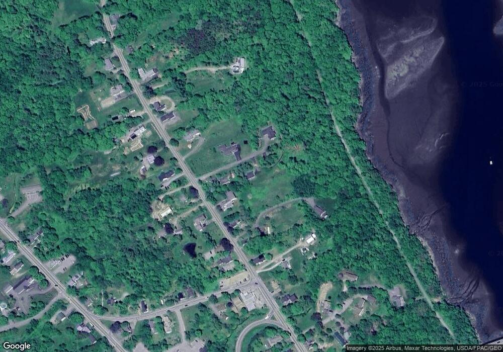
Map
Nearby Homes
- 388 High St
- 225 Waldo Ave
- 0 Merriam Rd
- 000 Merriam Rd
- 40 Robbins Rd
- 0 Robbins Rd Unit 1634953
- 51 Bridge St
- 97 Robbins Rd
- 17 Footbridge Rd
- 0 Patterson Hill Rd Unit Lot 2 1614981
- 2 Swan Lake Ave
- 6 Daniel Dr
- 208 High St
- 28 Charles St
- 45 Brooke Ave
- 42 Swan Lake Ave
- 31 Franklin St
- 38 Spring St
- 1 Miller St
- 22 Boardman Way