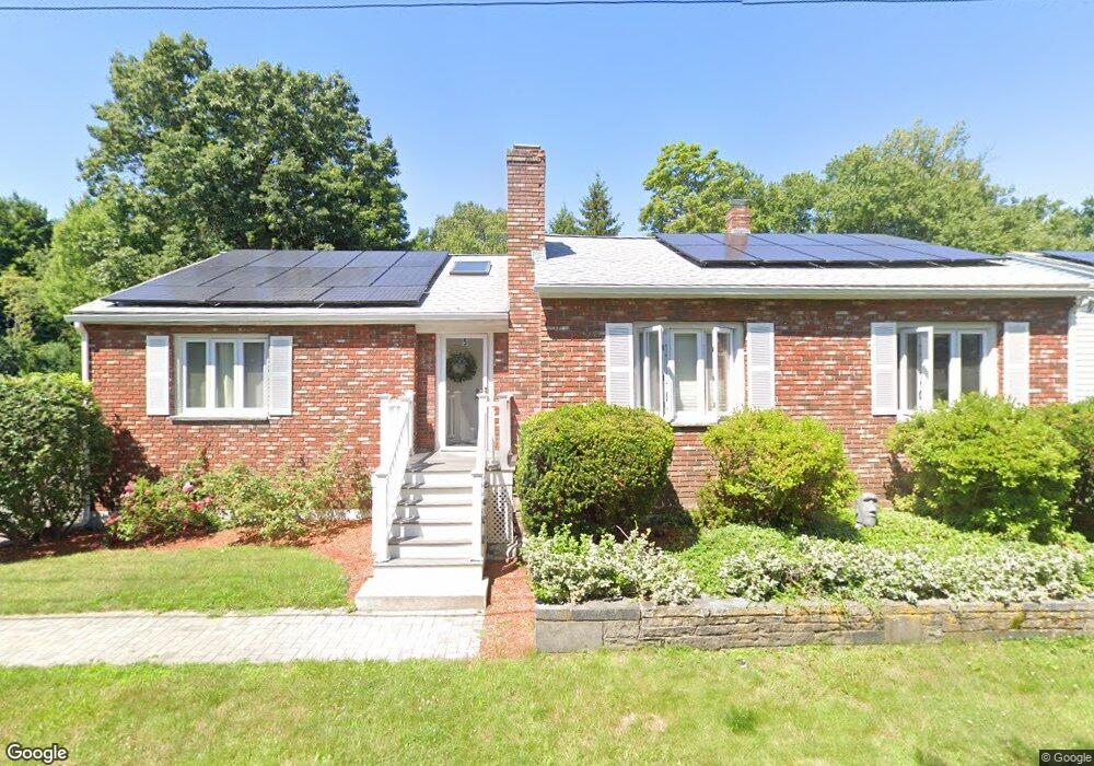
5 Hill St Unit 1 Natick, MA 01760
Estimated Value: $740,000 - $797,000
3
Beds
2
Baths
1,700
Sq Ft
$448/Sq Ft
Est. Value
About This Home
This home is located at 5 Hill St Unit 1, Natick, MA 01760 and is currently estimated at $761,112, approximately $447 per square foot. 5 Hill St Unit 1 is a home located in Middlesex County with nearby schools including Natick High School, J F Kennedy Middle School, and Brown Elementary School.
Ownership History
Date
Name
Owned For
Owner Type
Purchase Details
Closed on
Oct 27, 2025
Sold by
Jara Victor V and Formica Amanda J
Bought by
Valenzuela J-Formica Ft and Jara
Current Estimated Value
Purchase Details
Closed on
Apr 2, 2025
Sold by
Formica Amanda J
Bought by
Formica Amanda J and Jara Victor V
Purchase Details
Closed on
Aug 20, 2020
Sold by
Borghani Saeid
Bought by
Formica Amanda J
Home Financials for this Owner
Home Financials are based on the most recent Mortgage that was taken out on this home.
Original Mortgage
$508,250
Interest Rate
2.8%
Mortgage Type
New Conventional
Purchase Details
Closed on
Oct 15, 2004
Sold by
Saloman Charles L
Bought by
Borghani Saeid
Home Financials for this Owner
Home Financials are based on the most recent Mortgage that was taken out on this home.
Original Mortgage
$240,000
Interest Rate
5.8%
Mortgage Type
Purchase Money Mortgage
Create a Home Valuation Report for This Property
The Home Valuation Report is an in-depth analysis detailing your home's value as well as a comparison with similar homes in the area
Home Values in the Area
Average Home Value in this Area
Purchase History
| Date | Buyer | Sale Price | Title Company |
|---|---|---|---|
| Valenzuela J-Formica Ft | -- | -- | |
| Formica Amanda J | -- | None Available | |
| Formica Amanda J | -- | None Available | |
| Formica Amanda J | $535,000 | None Available | |
| Formica Amanda J | $535,000 | None Available | |
| Borghani Saeid | $300,000 | -- | |
| Borghani Saeid | $300,000 | -- | |
| Borghani Saeid | $300,000 | -- |
Source: Public Records
Mortgage History
| Date | Status | Borrower | Loan Amount |
|---|---|---|---|
| Previous Owner | Formica Amanda J | $508,250 | |
| Previous Owner | Borghani Saeid | $240,000 |
Source: Public Records
Tax History
| Year | Tax Paid | Tax Assessment Tax Assessment Total Assessment is a certain percentage of the fair market value that is determined by local assessors to be the total taxable value of land and additions on the property. | Land | Improvement |
|---|---|---|---|---|
| 2025 | $7,538 | $630,300 | $402,700 | $227,600 |
| 2024 | $7,432 | $606,200 | $387,600 | $218,600 |
| 2023 | $7,358 | $582,100 | $367,200 | $214,900 |
| 2022 | $7,200 | $539,700 | $336,800 | $202,900 |
| 2021 | $6,884 | $505,800 | $316,700 | $189,100 |
| 2020 | $6,678 | $490,700 | $301,600 | $189,100 |
| 2019 | $6,237 | $490,700 | $301,600 | $189,100 |
| 2018 | $5,772 | $442,300 | $301,600 | $140,700 |
| 2017 | $5,094 | $377,600 | $257,000 | $120,600 |
| 2016 | $4,824 | $355,500 | $236,000 | $119,500 |
| 2015 | $4,780 | $345,900 | $236,000 | $109,900 |
Source: Public Records
Map
Nearby Homes
- 132 Howe St Unit B
- 16 Grant Street Extension
- 56 Morency St Unit D
- 10 Nolin St
- 47 Bishop Dr
- 3 Oxbow Rd
- 96 Mansfield St
- 54 Pilgrim Rd
- 15 Willis St Unit 4
- 17 Brigham Rd
- 15 Village Way Unit 8
- 11 Village Rock Ln Unit 21
- 46 Cochituate Rd Unit 106
- 6 Woodward Rd
- 8 Village Way Unit 11
- 21 Village Rock Ln Unit 4
- 9 Village Hill Ln Unit 15
- 4 Village Rock Ln Unit 9
- 23 Village Rock Ln Unit 22
- 44 Village Hill Ln
Your Personal Tour Guide
Ask me questions while you tour the home.