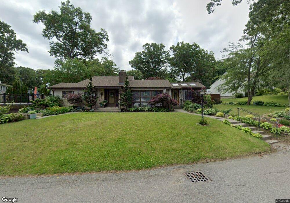
5 Hilltop Dr Millbury, MA 01527
Estimated Value: $492,000 - $622,000
4
Beds
2
Baths
1,632
Sq Ft
$325/Sq Ft
Est. Value
About This Home
This home is located at 5 Hilltop Dr, Millbury, MA 01527 and is currently estimated at $530,761, approximately $325 per square foot. 5 Hilltop Dr is a home located in Worcester County with nearby schools including Elmwood Street Elementary School, Raymond E. Shaw Elementary School, and Millbury Junior/Senior High School.
Ownership History
Date
Name
Owned For
Owner Type
Purchase Details
Closed on
Mar 16, 2011
Sold by
West Hjordis and West Runar
Bought by
Richard Thomas R and Scro Ryan A
Current Estimated Value
Home Financials for this Owner
Home Financials are based on the most recent Mortgage that was taken out on this home.
Original Mortgage
$222,220
Outstanding Balance
$150,162
Interest Rate
4.75%
Mortgage Type
FHA
Estimated Equity
$380,599
Create a Home Valuation Report for This Property
The Home Valuation Report is an in-depth analysis detailing your home's value as well as a comparison with similar homes in the area
Home Values in the Area
Average Home Value in this Area
Purchase History
| Date | Buyer | Sale Price | Title Company |
|---|---|---|---|
| Richard Thomas R | $228,000 | -- | |
| Richard Thomas R | $228,000 | -- |
Source: Public Records
Mortgage History
| Date | Status | Borrower | Loan Amount |
|---|---|---|---|
| Open | Richard Thomas R | $222,220 | |
| Closed | Richard Thomas R | $222,220 |
Source: Public Records
Tax History
| Year | Tax Paid | Tax Assessment Tax Assessment Total Assessment is a certain percentage of the fair market value that is determined by local assessors to be the total taxable value of land and additions on the property. | Land | Improvement |
|---|---|---|---|---|
| 2025 | $6,175 | $461,200 | $106,800 | $354,400 |
| 2024 | $5,662 | $428,000 | $98,900 | $329,100 |
| 2023 | $4,818 | $333,400 | $69,400 | $264,000 |
| 2022 | $4,770 | $318,000 | $69,400 | $248,600 |
| 2021 | $4,907 | $318,000 | $69,400 | $248,600 |
| 2020 | $4,875 | $318,000 | $69,400 | $248,600 |
| 2019 | $4,421 | $278,900 | $63,000 | $215,900 |
| 2018 | $12,350 | $268,000 | $63,000 | $205,000 |
| 2017 | $4,042 | $246,000 | $63,000 | $183,000 |
| 2016 | $3,639 | $221,100 | $63,000 | $158,100 |
| 2015 | $3,643 | $221,300 | $67,100 | $154,200 |
| 2014 | $3,418 | $199,900 | $67,100 | $132,800 |
Source: Public Records
Map
Nearby Homes
- 7 Barbara St
- 1459 Grafton Rd
- 11 Maplewood Rd
- 12 Irene Ct
- 8 Nightview Place
- 6 Nathaniel St
- 182 Weatherstone Dr
- 7 Clarissa St
- 2 Diane St
- 1195 Grafton St Unit 29
- 1195 Grafton St Unit 19
- 1195 Grafton St Unit 39
- 9 Marissa Cir
- 31 Blithewood Ave Unit 705
- 47 Ideal Rd
- 48 Macarthur Dr
- 270 Sunderland Rd Unit 73
- 3 Julien Ave
- 15 Lakeside Dr
- 33 Lakeside Dr