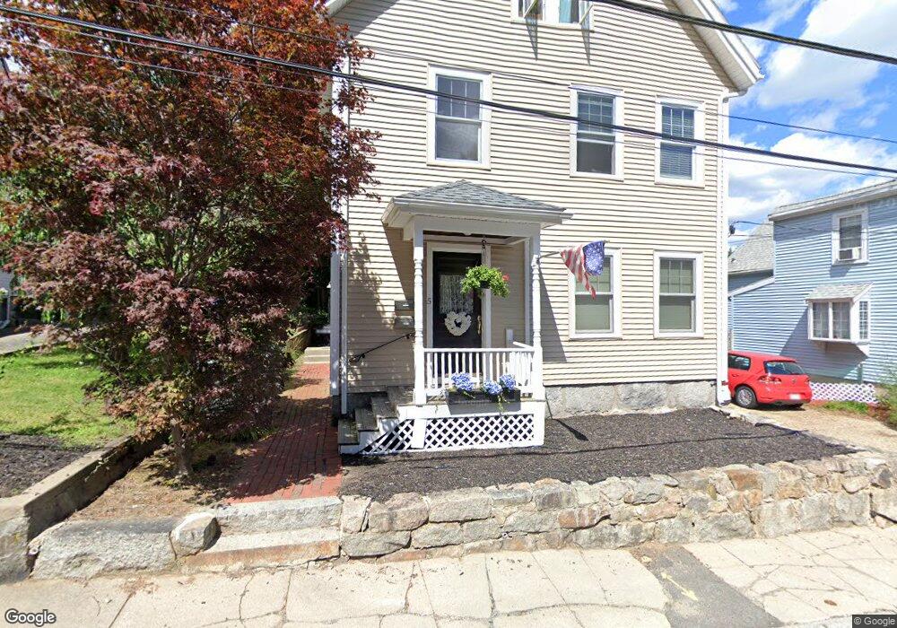
5 Howland Ct North Easton, MA 02356
Estimated Value: $620,117 - $718,000
5
Beds
2
Baths
2,350
Sq Ft
$289/Sq Ft
Est. Value
About This Home
This home is located at 5 Howland Ct, North Easton, MA 02356 and is currently estimated at $680,279, approximately $289 per square foot. 5 Howland Ct is a home located in Bristol County with nearby schools including Easton Middle School and Dovecrest Montessori Academy.
Ownership History
Date
Name
Owned For
Owner Type
Purchase Details
Closed on
Aug 12, 2016
Sold by
Conway Paul K
Bought by
Mcmenamy Dennis E and Mcmenamy Anne E
Current Estimated Value
Home Financials for this Owner
Home Financials are based on the most recent Mortgage that was taken out on this home.
Original Mortgage
$270,000
Outstanding Balance
$214,258
Interest Rate
3.48%
Mortgage Type
New Conventional
Estimated Equity
$466,021
Purchase Details
Closed on
Nov 22, 2000
Sold by
Stenstrom Eugene V and Stenstrom Carol A
Bought by
Conway Paul K
Purchase Details
Closed on
Apr 23, 1993
Sold by
Lj Ugo Foods Inc
Bought by
Stenstrom Eugene and Senstrom Carol A
Purchase Details
Closed on
Jul 12, 1989
Sold by
Ugo Louis J
Bought by
L J Ugo Foods Inc
Create a Home Valuation Report for This Property
The Home Valuation Report is an in-depth analysis detailing your home's value as well as a comparison with similar homes in the area
Home Values in the Area
Average Home Value in this Area
Purchase History
| Date | Buyer | Sale Price | Title Company |
|---|---|---|---|
| Mcmenamy Dennis E | $360,000 | -- | |
| Mcmenamy Dennis E | $360,000 | -- | |
| Conway Paul K | $245,000 | -- | |
| Conway Paul K | $245,000 | -- | |
| Stenstrom Eugene | $109,000 | -- | |
| Stenstrom Eugene V | $109,000 | -- | |
| L J Ugo Foods Inc | $160,000 | -- |
Source: Public Records
Mortgage History
| Date | Status | Borrower | Loan Amount |
|---|---|---|---|
| Open | Mcmenamy Dennis E | $270,000 | |
| Closed | Mcmenamy Dennis E | $270,000 | |
| Previous Owner | L J Ugo Foods Inc | $215,000 | |
| Previous Owner | L J Ugo Foods Inc | $206,400 |
Source: Public Records
Tax History Compared to Growth
Tax History
| Year | Tax Paid | Tax Assessment Tax Assessment Total Assessment is a certain percentage of the fair market value that is determined by local assessors to be the total taxable value of land and additions on the property. | Land | Improvement |
|---|---|---|---|---|
| 2025 | $6,352 | $509,000 | $239,300 | $269,700 |
| 2024 | $5,352 | $400,900 | $131,200 | $269,700 |
| 2023 | $4,966 | $340,400 | $127,700 | $212,700 |
| 2022 | $5,085 | $330,400 | $121,400 | $209,000 |
| 2021 | $4,997 | $322,800 | $117,400 | $205,400 |
| 2020 | $4,817 | $313,200 | $115,200 | $198,000 |
| 2019 | $5,431 | $340,300 | $107,500 | $232,800 |
| 2018 | $5,231 | $322,700 | $107,500 | $215,200 |
| 2017 | $4,509 | $278,000 | $102,400 | $175,600 |
| 2016 | $4,310 | $266,200 | $99,200 | $167,000 |
| 2015 | $4,517 | $269,200 | $102,200 | $167,000 |
| 2014 | $4,379 | $263,000 | $96,000 | $167,000 |
Source: Public Records
Map
Nearby Homes
- 56 Williams St
- 225 Main St
- 224 Main St
- 67 Center St
- 11 Olde Stable Ln
- 8 Hobart Way
- 15 King Ave
- 32 Spooner St
- 334-336 Main St
- 12 Holmes St
- 18 Prudence Crandall Ln Unit 18
- 280 Washington St
- 1 Whittier Ln Unit 1
- Lot 8 Cooper Ln
- 221 Center St
- 7 Coolidge Cir
- 24 Eisenhower Dr
- 45 Randall St
- 79 Summer St
- 73 Summer St
- 5 Howland Ct Unit 1
- 5 Howland Ct Unit 2
- 7 Howland Ct
- 9 Williams St
- 7 Williams St
- 11 Williams St
- 9 Howland Ct
- 9 Howland Ct Unit 2
- 8 Howland Ct
- 143 Main St
- 143 Main St Unit 2
- 143 Main St Unit 1
- 5 Williams St
- 12 Howland Ct
- 12 Howland Ct Unit 2
- 10 Williams St
- 8 Williams St
- 15 Williams St
- 153 Main St
- 149 Main St