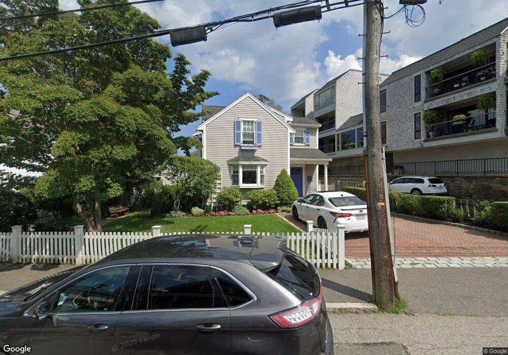
5 Independence Way Unit A Marblehead, MA 01945
Estimated Value: $417,257 - $494,000
1
Bed
1
Bath
600
Sq Ft
$780/Sq Ft
Est. Value
About This Home
This home is located at 5 Independence Way Unit A, Marblehead, MA 01945 and is currently estimated at $467,814, approximately $779 per square foot. 5 Independence Way Unit A is a home located in Essex County with nearby schools including Marblehead High School, Marblehead Community Charter Public School, and Devereux School.
Ownership History
Date
Name
Owned For
Owner Type
Purchase Details
Closed on
Nov 10, 2008
Sold by
Sheehan Mary E
Bought by
Traci Barbara Ann
Current Estimated Value
Purchase Details
Closed on
Jan 19, 2005
Sold by
Fish Elizabeth Frances and Humphrey Judith P
Bought by
Sheehan Mary E
Home Financials for this Owner
Home Financials are based on the most recent Mortgage that was taken out on this home.
Original Mortgage
$83,000
Interest Rate
5.71%
Mortgage Type
Purchase Money Mortgage
Create a Home Valuation Report for This Property
The Home Valuation Report is an in-depth analysis detailing your home's value as well as a comparison with similar homes in the area
Home Values in the Area
Average Home Value in this Area
Purchase History
| Date | Buyer | Sale Price | Title Company |
|---|---|---|---|
| Traci Barbara Ann | $225,000 | -- | |
| Sheehan Mary E | $350,000 | -- |
Source: Public Records
Mortgage History
| Date | Status | Borrower | Loan Amount |
|---|---|---|---|
| Previous Owner | Sheehan Mary E | $75,000 | |
| Previous Owner | Sheehan Mary E | $30,000 | |
| Previous Owner | Sheehan Mary E | $83,000 |
Source: Public Records
Tax History Compared to Growth
Tax History
| Year | Tax Paid | Tax Assessment Tax Assessment Total Assessment is a certain percentage of the fair market value that is determined by local assessors to be the total taxable value of land and additions on the property. | Land | Improvement |
|---|---|---|---|---|
| 2025 | $3,563 | $393,700 | $0 | $393,700 |
| 2024 | $3,361 | $375,100 | $0 | $375,100 |
| 2023 | $3,442 | $344,200 | $0 | $344,200 |
| 2022 | $3,209 | $305,000 | $0 | $305,000 |
| 2021 | $3,044 | $292,100 | $0 | $292,100 |
| 2020 | $3,278 | $315,500 | $0 | $315,500 |
| 2019 | $3,148 | $293,100 | $0 | $293,100 |
| 2018 | $3,000 | $272,200 | $0 | $272,200 |
| 2017 | $2,789 | $253,300 | $0 | $253,300 |
| 2016 | $2,788 | $251,200 | $0 | $251,200 |
| 2015 | $2,605 | $235,100 | $0 | $235,100 |
| 2014 | $2,545 | $229,500 | $0 | $229,500 |
Source: Public Records
Map
Nearby Homes
- 9 Skinner's Path Unit 9
- 15 Lindsey St
- 33 Waldron St
- 60 Gregory St Unit 3
- 2 Lindsey St
- 41 Atlantic Ave Unit 1
- 290 Washington St Unit 3
- 290 Washington St Unit 2
- 290 Washington St Unit 1
- 9 Darling St
- 45 Pleasant St
- 41 Rowland St
- 134 Elm St
- 132 Elm St
- 132 Elm St Unit 132
- 95 Front St Unit 5
- 19 Linden St
- 12 Heritage Way Unit 12
- 108 Front St
- 1 Green St Unit 2
- 5 Independence Way Unit D
- 5 Independence Way Unit B
- 5 Independence Way Unit 5D
- 3 Independence Way
- 3 Independence Way
- 3 Independence Way Unit 3
- 5A Independence Way
- 20 Skinner's Path Unit harborfront
- 10 Skinner's Path Unit 10
- 34 Gregory St
- 47D Independence Way Unit 47
- 47A Independence Way Unit 47A
- 43 Independence Way Unit 43
- 18 Skinners Path
- 17 Skinners Path
- 20 Skinners Path
- 24 Skinners Path
- 23 Skinners Path
- 26 Skinners Path
- 14 Skinners Path