5 Island Rd Medway, MA 02053
Estimated Value: $790,000 - $955,000
4
Beds
3
Baths
2,734
Sq Ft
$315/Sq Ft
Est. Value
About This Home
This home is located at 5 Island Rd, Medway, MA 02053 and is currently estimated at $862,445, approximately $315 per square foot. 5 Island Rd is a home located in Norfolk County with nearby schools including John D. McGovern Elementary School, Burke-Memorial Elementary, and Medway Middle School.
Ownership History
Date
Name
Owned For
Owner Type
Purchase Details
Closed on
Apr 13, 1995
Sold by
Marvin Dev Corp
Bought by
Mascari Charles R and Mascari Judith
Current Estimated Value
Purchase Details
Closed on
Dec 17, 1993
Sold by
Marvin Dev Corp
Bought by
Mascari Charles R and Mascari Judith
Create a Home Valuation Report for This Property
The Home Valuation Report is an in-depth analysis detailing your home's value as well as a comparison with similar homes in the area
Home Values in the Area
Average Home Value in this Area
Purchase History
| Date | Buyer | Sale Price | Title Company |
|---|---|---|---|
| Mascari Charles R | $153,900 | -- | |
| Mascari Charles R | $153,900 | -- |
Source: Public Records
Mortgage History
| Date | Status | Borrower | Loan Amount |
|---|---|---|---|
| Open | Mascari Charles R | $170,100 | |
| Closed | Mascari Charles R | $208,000 |
Source: Public Records
Tax History Compared to Growth
Tax History
| Year | Tax Paid | Tax Assessment Tax Assessment Total Assessment is a certain percentage of the fair market value that is determined by local assessors to be the total taxable value of land and additions on the property. | Land | Improvement |
|---|---|---|---|---|
| 2025 | $10,260 | $720,000 | $323,400 | $396,600 |
| 2024 | $10,368 | $720,000 | $323,400 | $396,600 |
| 2023 | $10,406 | $652,800 | $294,400 | $358,400 |
| 2022 | $9,396 | $555,000 | $217,700 | $337,300 |
| 2021 | $9,359 | $536,000 | $203,200 | $332,800 |
| 2020 | $9,154 | $523,100 | $203,200 | $319,900 |
| 2019 | $8,648 | $509,600 | $194,900 | $314,700 |
| 2018 | $8,717 | $493,600 | $186,600 | $307,000 |
| 2017 | $8,447 | $471,400 | $182,400 | $289,000 |
| 2016 | $7,956 | $439,300 | $167,900 | $271,400 |
| 2015 | $7,887 | $432,400 | $165,800 | $266,600 |
| 2014 | $7,642 | $405,600 | $165,800 | $239,800 |
Source: Public Records
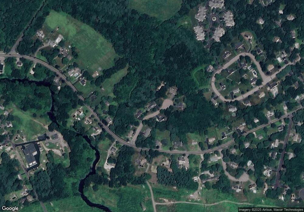
Map
Nearby Homes
- 17 Farm St
- 242 Farm St
- 425 Village St
- 229 Bent St
- 9 Sanford St
- 10 Macarthur Ave
- 20 Broad St Unit A
- 20 Broad St
- 14 Sanford St Unit 56
- 14 Sanford St Unit 15
- 48 River Rd
- 1 Granite Dr
- 145 Acorn St
- 841 Lincoln St
- 10 Populatic Street Extension
- 24 Vernon Rd
- 311 Eagles Nest Way Unit 311
- 312 Eagles Nest Way Unit 312
- 99 Leland Rd
- 10 Silver Fox Rd