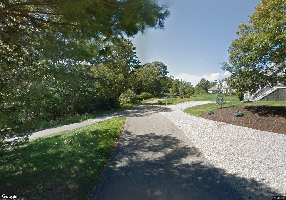
5 Janell Ln East Sandwich, MA 2537
Estimated Value: $1,714,000 - $1,874,000
3
Beds
4
Baths
3,440
Sq Ft
$522/Sq Ft
Est. Value
About This Home
This home is located at 5 Janell Ln, East Sandwich, MA 2537 and is currently estimated at $1,795,309, approximately $521 per square foot. 5 Janell Ln is a home located in Barnstable County with nearby schools including Sandwich Middle High School and Riverview School.
Create a Home Valuation Report for This Property
The Home Valuation Report is an in-depth analysis detailing your home's value as well as a comparison with similar homes in the area
Home Values in the Area
Average Home Value in this Area
Tax History Compared to Growth
Tax History
| Year | Tax Paid | Tax Assessment Tax Assessment Total Assessment is a certain percentage of the fair market value that is determined by local assessors to be the total taxable value of land and additions on the property. | Land | Improvement |
|---|---|---|---|---|
| 2025 | $14,271 | $1,350,100 | $422,000 | $928,100 |
| 2024 | $14,023 | $1,298,400 | $376,800 | $921,600 |
| 2023 | $13,707 | $1,191,900 | $342,500 | $849,400 |
| 2022 | $13,055 | $992,000 | $305,800 | $686,200 |
| 2021 | $12,259 | $890,300 | $294,000 | $596,300 |
| 2020 | $12,096 | $845,300 | $279,600 | $565,700 |
| 2019 | $11,656 | $814,000 | $285,200 | $528,800 |
| 2018 | $11,128 | $778,700 | $286,000 | $492,700 |
| 2017 | $11,498 | $770,100 | $311,000 | $459,100 |
| 2016 | $10,912 | $754,100 | $306,700 | $447,400 |
| 2015 | $10,774 | $727,000 | $288,100 | $438,900 |
Source: Public Records
Map
Nearby Homes
- 507 Massachusetts 6a Unit 9
- 566 Route 6a
- 0 Captain Kidd Rd
- 4 Wing Blvd
- 70 Wing Blvd E
- 5 Andersen Ave
- 11 Locust Ln
- 37 Ploughed Neck Rd
- 420 Massachusetts 6a
- 3 Mulberry Cir
- 49 Atkins Rd
- 36 Atkins Rd Unit D2
- 49 Atkins Rd
- 665 Route 6a
- 665 Old King's Hwy
- 4 Cowslip Path
- 390 Massachusetts 6a
- 20 Crestview Dr
- 99 N Shore Blvd Unit 1
- 99 N Shore Blvd Unit A