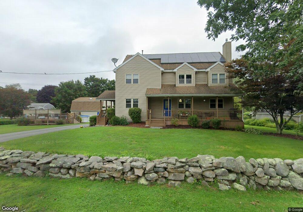
5 Jason Dr Westport, MA 02790
Head of Westport NeighborhoodEstimated Value: $596,000 - $772,000
3
Beds
--
Bath
2,496
Sq Ft
$269/Sq Ft
Est. Value
About This Home
This home is located at 5 Jason Dr, Westport, MA 02790 and is currently estimated at $671,332, approximately $268 per square foot. 5 Jason Dr is a home located in Bristol County with nearby schools including Alice A. Macomber Primary School, Westport Elementary School, and Westport Middle-High School.
Ownership History
Date
Name
Owned For
Owner Type
Purchase Details
Closed on
Feb 10, 1992
Sold by
Birman E Olive B
Bought by
Baptista Todd R and Lindo Kristen M
Current Estimated Value
Create a Home Valuation Report for This Property
The Home Valuation Report is an in-depth analysis detailing your home's value as well as a comparison with similar homes in the area
Home Values in the Area
Average Home Value in this Area
Purchase History
| Date | Buyer | Sale Price | Title Company |
|---|---|---|---|
| Baptista Todd R | $140,000 | -- |
Source: Public Records
Mortgage History
| Date | Status | Borrower | Loan Amount |
|---|---|---|---|
| Open | Baptista Todd R | $158,000 | |
| Closed | Baptista Todd R | $164,500 | |
| Closed | Baptista Todd R | $166,800 | |
| Closed | Baptista Todd R | $169,000 |
Source: Public Records
Tax History Compared to Growth
Tax History
| Year | Tax Paid | Tax Assessment Tax Assessment Total Assessment is a certain percentage of the fair market value that is determined by local assessors to be the total taxable value of land and additions on the property. | Land | Improvement |
|---|---|---|---|---|
| 2025 | $3,674 | $493,200 | $161,800 | $331,400 |
| 2024 | $3,669 | $474,600 | $149,900 | $324,700 |
| 2023 | $3,627 | $444,500 | $136,600 | $307,900 |
| 2022 | $3,341 | $398,900 | $124,200 | $274,700 |
| 2021 | $3,341 | $387,600 | $112,900 | $274,700 |
| 2020 | $3,230 | $383,100 | $108,400 | $274,700 |
| 2019 | $3,032 | $366,600 | $108,400 | $258,200 |
| 2018 | $3,037 | $371,700 | $121,200 | $250,500 |
| 2017 | $2,990 | $375,200 | $123,500 | $251,700 |
| 2016 | $2,813 | $355,600 | $128,200 | $227,400 |
| 2015 | $2,799 | $353,000 | $130,500 | $222,500 |
Source: Public Records
Map
Nearby Homes
- 4 Main Rd
- 994 State
- 47 Fallon Dr
- 380 Gifford Rd
- 79 Center St
- 2 Mackady Ct
- 96 Forge Rd
- 29 Union Ave
- 0 Hidden Glen Ln
- 118 Charlotte White Rd Extension
- 3 Roller Coaster Way Unit Lot 1
- 118 Charlotte White Rd
- 16 S Berryman St
- 15 S Breault St
- 15 Truman St
- 461 Reed Rd
- 6 Angel Ct
- 8 Strawberry Ln
- 116 Gifford Rd
- 218 American Legion Hwy
- 316 Old County Rd
- 11 Jason Dr
- 21 Kelly Ave
- 306 Old County Rd
- 322 Old County Rd
- 9 Kelly Ave
- 27 Kelly Ave
- 8 Jason Dr
- 3 Kelly Ave
- 14 Kelly Ave
- 20 Kelly Ave
- 8 Kelly Ave
- 0 Chetnut Hill Dr Unit 1055005
- 0 Chestnut Hill Dr
- 309 Old County Rd
- 298 Old County Rd
- 332 Old County Rd
- 26 Kelly Ave
- 303 Old County Rd
- 315 Old County Rd