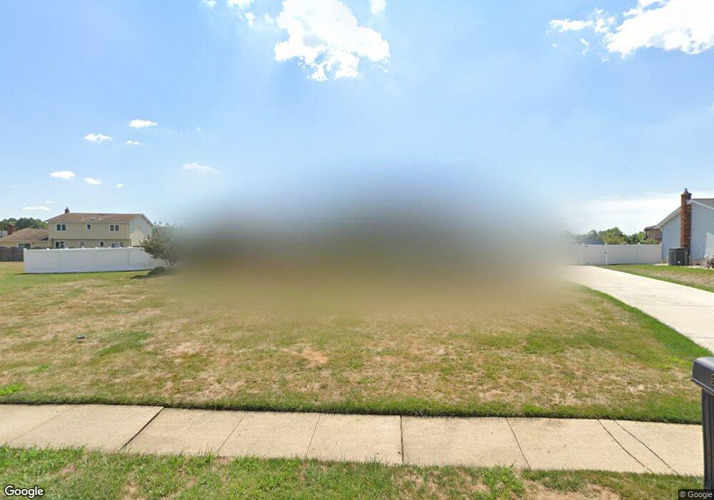
5 John Lenhardt Rd Trenton, NJ 08690
Estimated Value: $737,907 - $800,000
5
Beds
3
Baths
3,200
Sq Ft
$243/Sq Ft
Est. Value
About This Home
This home is located at 5 John Lenhardt Rd, Trenton, NJ 08690 and is currently estimated at $776,977, approximately $242 per square foot. 5 John Lenhardt Rd is a home located in Mercer County with nearby schools including Langtree Elementary School, Richard C. Crockett Middle School, and Steinert - Hamilton High East.
Ownership History
Date
Name
Owned For
Owner Type
Purchase Details
Closed on
Nov 5, 2010
Sold by
Morin Linda D
Bought by
Klosek Sarah and Ferland George M
Current Estimated Value
Home Financials for this Owner
Home Financials are based on the most recent Mortgage that was taken out on this home.
Original Mortgage
$337,600
Outstanding Balance
$223,650
Interest Rate
4.35%
Mortgage Type
New Conventional
Estimated Equity
$553,327
Create a Home Valuation Report for This Property
The Home Valuation Report is an in-depth analysis detailing your home's value as well as a comparison with similar homes in the area
Home Values in the Area
Average Home Value in this Area
Purchase History
| Date | Buyer | Sale Price | Title Company |
|---|---|---|---|
| Klosek Sarah | $422,000 | Chicago Title Ins Co |
Source: Public Records
Mortgage History
| Date | Status | Borrower | Loan Amount |
|---|---|---|---|
| Open | Klosek Sarah | $337,600 |
Source: Public Records
Tax History Compared to Growth
Tax History
| Year | Tax Paid | Tax Assessment Tax Assessment Total Assessment is a certain percentage of the fair market value that is determined by local assessors to be the total taxable value of land and additions on the property. | Land | Improvement |
|---|---|---|---|---|
| 2025 | $13,543 | $393,200 | $102,900 | $290,300 |
| 2024 | $12,357 | $384,300 | $102,900 | $281,400 |
| 2023 | $12,357 | $374,100 | $102,900 | $271,200 |
| 2022 | $12,207 | $374,100 | $102,900 | $271,200 |
| 2021 | $12,207 | $374,100 | $102,900 | $271,200 |
| 2020 | $11,459 | $374,100 | $102,900 | $271,200 |
| 2019 | $11,204 | $374,100 | $102,900 | $271,200 |
| 2018 | $11,141 | $374,100 | $102,900 | $271,200 |
| 2017 | $10,856 | $374,100 | $102,900 | $271,200 |
| 2016 | $10,116 | $374,100 | $102,900 | $271,200 |
| 2015 | $11,307 | $246,400 | $64,800 | $181,600 |
| 2014 | $11,115 | $246,400 | $64,800 | $181,600 |
Source: Public Records
Map
Nearby Homes
- 14 Baggaley Rd
- 85 Tudor Dr
- 11 Sandtown Terrace
- 3534 Klockner Rd
- 515 Spruce St
- 12 Aster Rd
- 2330 Route 33 Unit 315
- 31 Rolling Ln
- 2346 Route 33 Unit 202
- 2346 Route 33 Unit 308
- 6 Forman Dr
- 86 Mark Twain Dr
- 29 Walt Whitman Way
- 117 George St
- 123 Monte Carlo Dr
- 25 Walt Whitman Way
- 2 N Commerce Square Unit 303
- 968 Robbins-Edin Burg Rd Unit 306
- 10 North St
- 31 Baltusrol St
- 6 Baggaley Rd
- 1 John Lenhardt Rd
- 7 John Lenhardt Rd
- 4 Baggaley Rd
- 8 Baggaley Rd
- 6 John Lenhardt Rd
- 11 Michael McCorristin Rd
- 2 John Lenhardt Rd
- 8 John Lenhardt Rd
- 9 John Lenhardt Rd
- 10 Baggaley Rd
- 10 John Lenhardt Rd
- 7 Baggaley Rd
- 9 Baggaley Rd
- 14 Michael McCorristin Rd
- 5 Baggaley Rd
- 12 Michael McCorristin Rd
- 31 Ray Dwier Dr
- 16 Michael McCorristin Rd
- 11 Baggaley Rd
