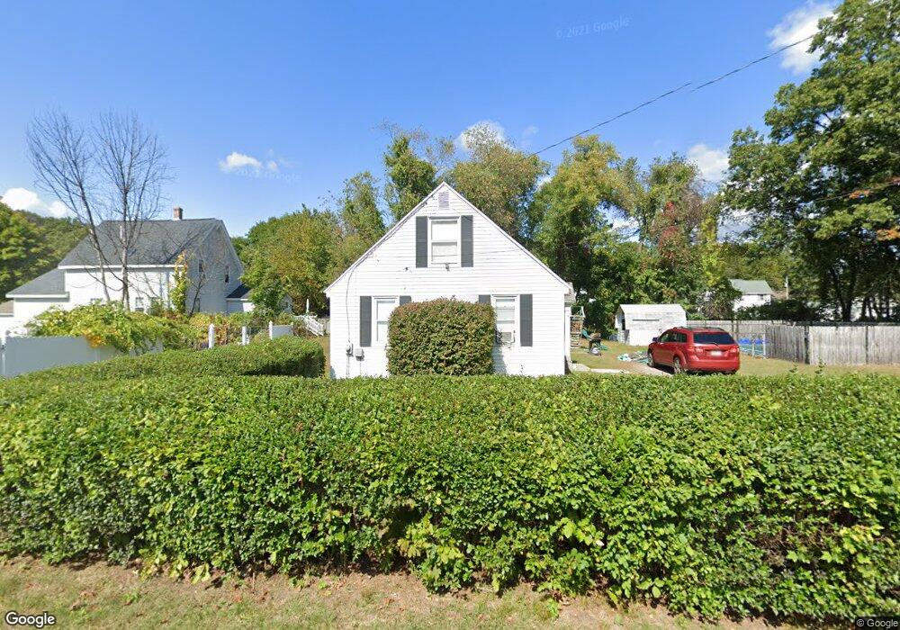
5 John St Millbury, MA 01527
Estimated Value: $339,000 - $434,000
4
Beds
1
Bath
1,225
Sq Ft
$314/Sq Ft
Est. Value
About This Home
This home is located at 5 John St, Millbury, MA 01527 and is currently estimated at $384,714, approximately $314 per square foot. 5 John St is a home located in Worcester County with nearby schools including Elmwood Street Elementary School, Raymond E. Shaw Elementary School, and Millbury Junior/Senior High School.
Ownership History
Date
Name
Owned For
Owner Type
Purchase Details
Closed on
Apr 26, 2011
Sold by
Graves Patricia G
Bought by
Estremera Javier and Estremera Karen L
Current Estimated Value
Home Financials for this Owner
Home Financials are based on the most recent Mortgage that was taken out on this home.
Original Mortgage
$141,324
Outstanding Balance
$98,304
Interest Rate
4.9%
Mortgage Type
Purchase Money Mortgage
Estimated Equity
$286,410
Create a Home Valuation Report for This Property
The Home Valuation Report is an in-depth analysis detailing your home's value as well as a comparison with similar homes in the area
Home Values in the Area
Average Home Value in this Area
Purchase History
| Date | Buyer | Sale Price | Title Company |
|---|---|---|---|
| Estremera Javier | -- | -- | |
| Estremera Javier | -- | -- | |
| Estremera Javier | $145,000 | -- |
Source: Public Records
Mortgage History
| Date | Status | Borrower | Loan Amount |
|---|---|---|---|
| Open | Estremera Javier | $141,324 | |
| Closed | Estremera Javier | $141,324 |
Source: Public Records
Tax History Compared to Growth
Tax History
| Year | Tax Paid | Tax Assessment Tax Assessment Total Assessment is a certain percentage of the fair market value that is determined by local assessors to be the total taxable value of land and additions on the property. | Land | Improvement |
|---|---|---|---|---|
| 2025 | $4,255 | $317,800 | $101,900 | $215,900 |
| 2024 | $3,904 | $295,100 | $94,400 | $200,700 |
| 2023 | $3,215 | $222,500 | $66,200 | $156,300 |
| 2022 | $3,159 | $210,600 | $66,200 | $144,400 |
| 2021 | $3,101 | $201,000 | $66,200 | $134,800 |
| 2020 | $3,009 | $196,300 | $66,200 | $130,100 |
| 2019 | $3,176 | $192,500 | $60,100 | $132,400 |
| 2018 | $41 | $183,500 | $60,100 | $123,400 |
| 2017 | $2,703 | $164,500 | $60,100 | $104,400 |
| 2016 | $2,599 | $157,900 | $60,100 | $97,800 |
| 2015 | $2,622 | $159,300 | $64,000 | $95,300 |
| 2014 | $2,568 | $150,200 | $64,000 | $86,200 |
Source: Public Records
Map
Nearby Homes
- 12 Irene Ct
- 11 Maplewood Rd
- 86 Wheelock Ave
- 11 Westview Ave
- 27 A-B Grafton St
- 2 Diane St
- 3 May St
- 3 Stidsen Way
- 1 Pineland Ave
- 232 Weatherstone Dr
- 76 Weatherstone Dr
- 1 Broadmeadow Ave
- 330 Millbury Ave
- 90 Macarthur Dr
- 497 Massasoit Rd
- 1201 Grafton St Unit 73
- 1203 Grafton St Unit 38
- 39 Pointe Rok Dr Unit 39
- 48 Pointe Rok Dr Unit 48G
- 1195 Grafton St Unit 3