5 Jones St Wrentham, MA 02093
Estimated Value: $533,000 - $2,165,058
5
Beds
6
Baths
6,001
Sq Ft
$258/Sq Ft
Est. Value
About This Home
This home is located at 5 Jones St, Wrentham, MA 02093 and is currently estimated at $1,549,515, approximately $258 per square foot. 5 Jones St is a home located in Norfolk County with nearby schools including Delaney Elementary School and Charles E Roderick.
Ownership History
Date
Name
Owned For
Owner Type
Purchase Details
Closed on
Aug 31, 1999
Sold by
Wilson Doreen L
Bought by
Elias Joseph E and Elias Stephanie A
Current Estimated Value
Home Financials for this Owner
Home Financials are based on the most recent Mortgage that was taken out on this home.
Original Mortgage
$195,000
Interest Rate
7.53%
Mortgage Type
Purchase Money Mortgage
Create a Home Valuation Report for This Property
The Home Valuation Report is an in-depth analysis detailing your home's value as well as a comparison with similar homes in the area
Purchase History
| Date | Buyer | Sale Price | Title Company |
|---|---|---|---|
| Elias Joseph E | $260,000 | -- |
Source: Public Records
Mortgage History
| Date | Status | Borrower | Loan Amount |
|---|---|---|---|
| Open | Elias Joseph E | $155,000 | |
| Closed | Elias Joseph E | $195,000 | |
| Previous Owner | Elias Joseph E | $171,000 | |
| Previous Owner | Elias Joseph E | $168,700 |
Source: Public Records
Tax History
| Year | Tax Paid | Tax Assessment Tax Assessment Total Assessment is a certain percentage of the fair market value that is determined by local assessors to be the total taxable value of land and additions on the property. | Land | Improvement |
|---|---|---|---|---|
| 2025 | $20,901 | $1,803,400 | $535,200 | $1,268,200 |
| 2024 | $21,065 | $1,755,400 | $535,200 | $1,220,200 |
| 2023 | $23,332 | $1,848,800 | $486,600 | $1,362,200 |
| 2022 | $21,778 | $1,593,100 | $431,900 | $1,161,200 |
| 2021 | $24,724 | $1,757,200 | $383,400 | $1,373,800 |
| 2020 | $23,692 | $1,662,600 | $418,100 | $1,244,500 |
| 2019 | $24,802 | $1,756,500 | $450,300 | $1,306,200 |
| 2018 | $27,305 | $1,917,500 | $441,800 | $1,475,700 |
| 2017 | $26,847 | $1,884,000 | $433,300 | $1,450,700 |
| 2016 | $26,519 | $1,857,100 | $420,800 | $1,436,300 |
| 2015 | $25,628 | $1,710,800 | $216,700 | $1,494,100 |
| 2014 | $13,704 | $895,100 | $208,400 | $686,700 |
Source: Public Records
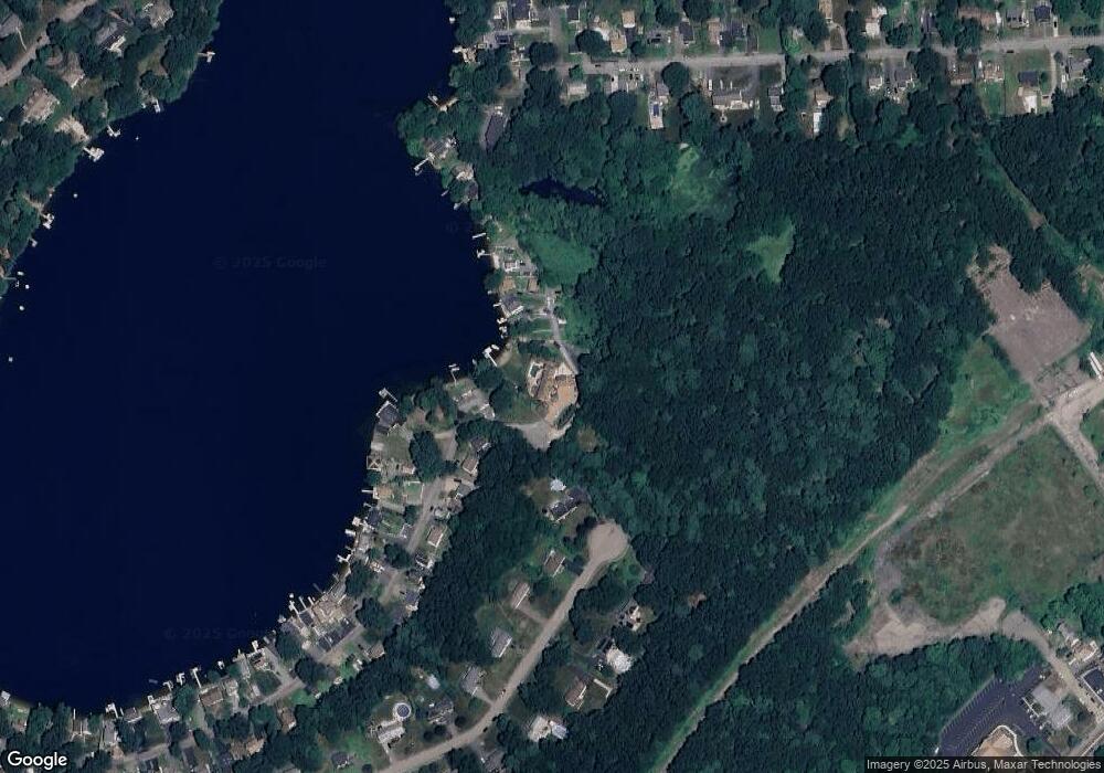
Map
Nearby Homes
- 10 Nature View Dr
- 15 Nature View Dr
- 500 Franklin St
- 2 Earle Stewart Ln
- 3 Earle Stewart Ln
- 12 Earle Stewart Ln
- 10 Earle Stewart Ln Unit Lot 5
- 287 Park St
- 50 Reed Fulton Ave Unit Lot 61
- 246 Forest Grove Ave
- 45 Joshua Rd
- 576 Dedham St
- 11 Weber Farm Rd Unit 11
- 8 Weber Farm Rd Unit 8
- 0 W Birch Rd
- 30 Weber Farm Rd Unit 30
- 8 Ridgefield Rd
- 75 Jordan Rd
- 483 Thurston St
- 9 Elliot Mills Unit 5
- 15 Jones St
- 25 Jones St
- 165 Lakeside Ave
- 150 Lakeside Ave
- 35 Jones St
- 148 Lakeside Ave
- 45 Jones St
- 125 Caesar Chelor Dr
- 146 Lakeside Ave
- 65 Jones St
- 144 Lakeside Ave
- 142 Lakeside Ave
- 163 Lakeside Ave
- 149 Lakeside Ave
- 149 Lakeside Ave Unit 1
- 75 Jones St
- 153 Lakeside Ave
- 115 Caesar Chelor Dr
- 140 Lakeside Ave
- 151 Lakeside Ave
Your Personal Tour Guide
Ask me questions while you tour the home.