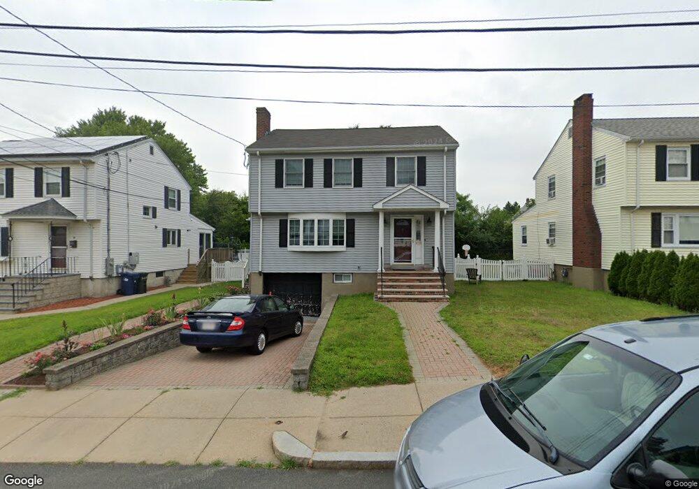
5 Keenan Rd Brighton, MA 02135
Brighton NeighborhoodEstimated Value: $1,119,000 - $1,441,000
3
Beds
3
Baths
2,460
Sq Ft
$520/Sq Ft
Est. Value
About This Home
This home is located at 5 Keenan Rd, Brighton, MA 02135 and is currently estimated at $1,279,056, approximately $519 per square foot. 5 Keenan Rd is a home located in Suffolk County with nearby schools including Boston Green Academy Horace Mann Charter School, St Columbkille Partnership School, and Shaloh House Jewish Day School.
Ownership History
Date
Name
Owned For
Owner Type
Purchase Details
Closed on
Apr 1, 1999
Sold by
Lawton Mary R Est
Bought by
Weinstein Marc R and Nadler Sheryl
Current Estimated Value
Create a Home Valuation Report for This Property
The Home Valuation Report is an in-depth analysis detailing your home's value as well as a comparison with similar homes in the area
Home Values in the Area
Average Home Value in this Area
Purchase History
| Date | Buyer | Sale Price | Title Company |
|---|---|---|---|
| Weinstein Marc R | $265,000 | -- |
Source: Public Records
Mortgage History
| Date | Status | Borrower | Loan Amount |
|---|---|---|---|
| Open | Weinstein Marc R | $144,500 | |
| Closed | Weinstein Marc R | $138,650 | |
| Closed | Weinstein Marc R | $94,500 | |
| Closed | Weinstein Marc R | $50,000 |
Source: Public Records
Tax History
| Year | Tax Paid | Tax Assessment Tax Assessment Total Assessment is a certain percentage of the fair market value that is determined by local assessors to be the total taxable value of land and additions on the property. | Land | Improvement |
|---|---|---|---|---|
| 2025 | $13,361 | $1,153,800 | $303,400 | $850,400 |
| 2024 | $12,334 | $1,131,600 | $296,400 | $835,200 |
| 2023 | $11,800 | $1,098,700 | $287,800 | $810,900 |
| 2022 | $10,867 | $998,800 | $261,600 | $737,200 |
| 2021 | $9,937 | $931,300 | $246,800 | $684,500 |
| 2020 | $8,490 | $804,000 | $216,900 | $587,100 |
| 2019 | $8,136 | $771,900 | $181,000 | $590,900 |
| 2018 | $7,633 | $728,300 | $181,000 | $547,300 |
| 2017 | $7,342 | $693,300 | $181,000 | $512,300 |
| 2016 | $6,950 | $631,800 | $178,300 | $453,500 |
| 2015 | $7,403 | $611,300 | $183,700 | $427,600 |
| 2014 | $6,855 | $544,900 | $183,700 | $361,200 |
Source: Public Records
Map
Nearby Homes
- 257 R Market St Unit A
- 257 R Market St Unit C
- 36-38 Faneuil St
- 214 Market St Unit 405
- 214 Market St Unit 208
- 214 Market St Unit 201
- 35 Glencoe St Unit 43
- 15 17 Cushman St
- 36-38 Mapleton St
- 87 Etna St
- 68 Murdock St
- 58 Dustin St Unit 1
- 65-67 Surrey St
- 70 Leo Birmingham Pkwy Unit 504
- 70 Leo M Birmingham Pkwy Unit 416
- 50 Hichborn St Unit 204
- 50 Hichborn St Unit 304
- 50 Hichborn St Unit 209
- 15-17 Peaceable St
- 18-20 Dighton St
- 1 Keenan Rd
- 9 Keenan Rd
- 15 Keenan Rd
- 265 Market St
- 261 Market St Unit 1
- 261 Market St
- 32 Ryan Rd
- 257 Market St Unit 1
- 257 Market St
- 257 Market St
- 257 Market St Unit 2
- 6 Keenan Rd
- 10 Keenan Rd
- 28 Sanderson Place
- 14 Keenan Rd
- 40 Ryan Rd
- 275 Market St Unit 279
- 24 Sanderson Place
- 253 Market St
- 20 Sanderson Place
Your Personal Tour Guide
Ask me questions while you tour the home.