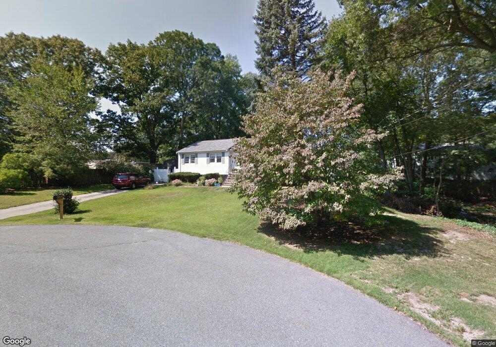
5 Kenart Rd Medway, MA 02053
Estimated Value: $505,000 - $683,000
3
Beds
2
Baths
1,200
Sq Ft
$486/Sq Ft
Est. Value
About This Home
This home is located at 5 Kenart Rd, Medway, MA 02053 and is currently estimated at $583,216, approximately $486 per square foot. 5 Kenart Rd is a home located in Norfolk County with nearby schools including John D. McGovern Elementary School, Burke-Memorial Elementary, and Medway Middle School.
Create a Home Valuation Report for This Property
The Home Valuation Report is an in-depth analysis detailing your home's value as well as a comparison with similar homes in the area
Home Values in the Area
Average Home Value in this Area
Tax History Compared to Growth
Tax History
| Year | Tax Paid | Tax Assessment Tax Assessment Total Assessment is a certain percentage of the fair market value that is determined by local assessors to be the total taxable value of land and additions on the property. | Land | Improvement |
|---|---|---|---|---|
| 2025 | $7,565 | $530,900 | $305,700 | $225,200 |
| 2024 | $7,645 | $530,900 | $305,700 | $225,200 |
| 2023 | $7,414 | $465,100 | $253,400 | $211,700 |
| 2022 | $7,045 | $416,100 | $225,100 | $191,000 |
| 2021 | $6,368 | $364,700 | $186,900 | $177,800 |
| 2020 | $6,085 | $347,700 | $173,200 | $174,500 |
| 2019 | $5,771 | $340,100 | $173,200 | $166,900 |
| 2018 | $5,808 | $328,900 | $165,400 | $163,500 |
| 2017 | $5,571 | $310,900 | $141,700 | $169,200 |
| 2016 | $5,536 | $305,700 | $136,500 | $169,200 |
| 2015 | $5,399 | $296,000 | $126,100 | $169,900 |
| 2014 | $5,083 | $269,800 | $126,700 | $143,100 |
Source: Public Records
Map
Nearby Homes
- 20 Broad St Unit 6
- 20 Broad St Unit A
- 20 Broad St Unit 4
- 50 Main St
- 14 Sanford St Unit 15
- 9 Sanford St
- 3 Meryl St
- 22 Sunset Dr
- 106 Holliston St
- 280 Village St Unit D2
- 12 Lovering St
- 4 Shaw St
- 14 Heritage Dr
- 841 Lincoln St
- 36 Lovering St
- 7 Gloucester Dr
- 0 Elm St
- 28 Wellington St
- 56 Fuller Place
- 176 Main St Unit 3