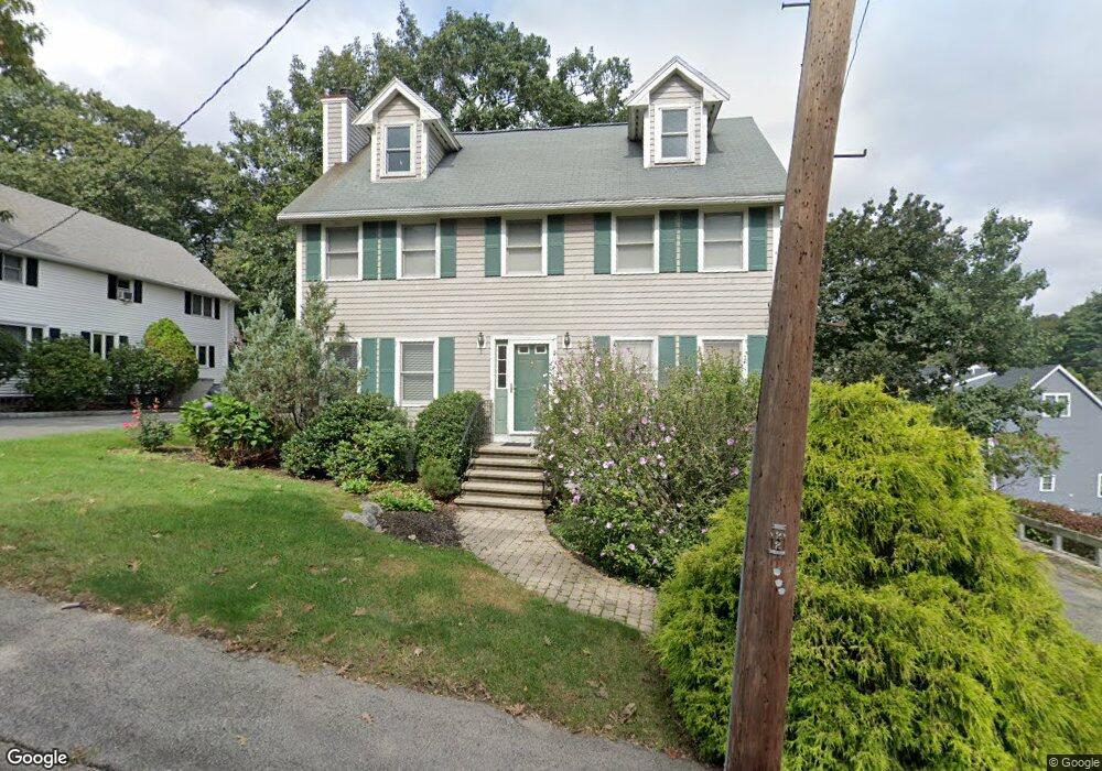
5 Kenwood Ave Stoneham, MA 02180
Nobility Hill NeighborhoodEstimated Value: $747,000 - $903,000
3
Beds
3
Baths
1,644
Sq Ft
$514/Sq Ft
Est. Value
About This Home
This home is located at 5 Kenwood Ave, Stoneham, MA 02180 and is currently estimated at $845,333, approximately $514 per square foot. 5 Kenwood Ave is a home located in Middlesex County with nearby schools including Stoneham High School, Greater Boston Academy, and St. Patrick Elementary School.
Ownership History
Date
Name
Owned For
Owner Type
Purchase Details
Closed on
Oct 30, 2020
Sold by
Deberadinis Anthony C and Nonis Anne M
Bought by
Deberadinis Anthony C and Nonis Anne M
Current Estimated Value
Purchase Details
Closed on
Aug 19, 2002
Sold by
Capachietti Thomas F
Bought by
Deberadinis Anthony C and Nonis Anne M
Home Financials for this Owner
Home Financials are based on the most recent Mortgage that was taken out on this home.
Original Mortgage
$299,000
Interest Rate
6.61%
Mortgage Type
Purchase Money Mortgage
Purchase Details
Closed on
Sep 15, 1997
Sold by
Maffeo Anthony and Maffeo Mary A
Bought by
Barrett David H
Home Financials for this Owner
Home Financials are based on the most recent Mortgage that was taken out on this home.
Original Mortgage
$128,500
Interest Rate
7.31%
Mortgage Type
Purchase Money Mortgage
Create a Home Valuation Report for This Property
The Home Valuation Report is an in-depth analysis detailing your home's value as well as a comparison with similar homes in the area
Home Values in the Area
Average Home Value in this Area
Purchase History
| Date | Buyer | Sale Price | Title Company |
|---|---|---|---|
| Deberadinis Anthony C | -- | None Available | |
| Deberadinis Anthony C | $424,000 | -- | |
| Barrett David H | $55,000 | -- |
Source: Public Records
Mortgage History
| Date | Status | Borrower | Loan Amount |
|---|---|---|---|
| Previous Owner | Deberadinis Anthony C | $299,000 | |
| Previous Owner | Barrett David H | $128,500 |
Source: Public Records
Tax History Compared to Growth
Tax History
| Year | Tax Paid | Tax Assessment Tax Assessment Total Assessment is a certain percentage of the fair market value that is determined by local assessors to be the total taxable value of land and additions on the property. | Land | Improvement |
|---|---|---|---|---|
| 2025 | $8,335 | $814,800 | $360,100 | $454,700 |
| 2024 | $7,968 | $752,400 | $333,100 | $419,300 |
| 2023 | $7,757 | $698,800 | $306,100 | $392,700 |
| 2022 | $6,757 | $649,100 | $279,100 | $370,000 |
| 2021 | $6,779 | $626,500 | $261,100 | $365,400 |
| 2020 | $6,689 | $619,900 | $252,100 | $367,800 |
| 2019 | $6,592 | $587,500 | $225,100 | $362,400 |
| 2018 | $6,348 | $542,100 | $207,100 | $335,000 |
| 2017 | $6,471 | $522,300 | $198,100 | $324,200 |
| 2016 | $6,354 | $500,300 | $198,100 | $302,200 |
| 2015 | $6,247 | $482,000 | $189,100 | $292,900 |
| 2014 | $6,099 | $452,100 | $180,100 | $272,000 |
Source: Public Records
Map
Nearby Homes
- 588 Main St Unit 3C
- 5 Rockville Park
- 25 Murdoch Rd
- 5-9 Rockville Park
- 222 Park St
- 11 Congress St
- 8 Walnut St
- 34 Warren St Unit 3
- 137 Franklin St Unit 102
- 137 Franklin St Unit 404
- 27 Emerson St Unit 27
- 17A 17 B Emerson
- 17 Emerson St Unit A
- 17 Franklin St
- 159 Franklin St Unit C2
- 2 Stratton Dr Unit 1109
- 2 Archer Dr Unit 1
- 5 Sheffield Rd
- 10 Mason Way Unit 61
- 2 Mason Way Unit 6524