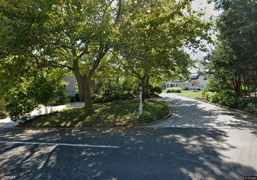
5 Kings Path Brielle, NJ 08730
Estimated Value: $1,661,000 - $3,536,000
5
Beds
2
Baths
2,882
Sq Ft
$998/Sq Ft
Est. Value
About This Home
This home is located at 5 Kings Path, Brielle, NJ 08730 and is currently estimated at $2,875,214, approximately $997 per square foot. 5 Kings Path is a home with nearby schools including Brielle Elementary School, St Dominic School, and St. Peter School.
Ownership History
Date
Name
Owned For
Owner Type
Purchase Details
Closed on
Jun 25, 2013
Sold by
The Mark Tedesco Revocable Trust
Bought by
Tedesco Mark L and Tedesco Michele
Current Estimated Value
Purchase Details
Closed on
Jul 31, 2008
Sold by
The Francis Tedesco Revocable Trust
Bought by
The Mark Tedesco Revocable Trust
Purchase Details
Closed on
Jan 30, 2006
Sold by
As Josephine M Tedesco
Bought by
Tedesco Francis and Tedes Mark
Create a Home Valuation Report for This Property
The Home Valuation Report is an in-depth analysis detailing your home's value as well as a comparison with similar homes in the area
Home Values in the Area
Average Home Value in this Area
Purchase History
| Date | Buyer | Sale Price | Title Company |
|---|---|---|---|
| Tedesco Mark L | -- | None Available | |
| The Mark Tedesco Revocable Trust | $1,200,000 | Old Republic National Title | |
| Tedesco Francis | -- | -- |
Source: Public Records
Tax History
| Year | Tax Paid | Tax Assessment Tax Assessment Total Assessment is a certain percentage of the fair market value that is determined by local assessors to be the total taxable value of land and additions on the property. | Land | Improvement |
|---|---|---|---|---|
| 2025 | $38,209 | $3,194,100 | $2,465,400 | $728,700 |
| 2024 | $40,618 | $3,078,900 | $2,415,300 | $663,600 |
Source: Public Records
Map
Nearby Homes
- 937 Birch Dr
- 1015 Forrest Rd
- 931 Birch Dr
- 924 Birch Dr
- 917 Riverview Dr
- 21 N Tamarack Dr
- 1105 Shore Dr
- 907 Riverview Dr
- 409 Laurel Ave
- 3000 River Rd Unit 3000 & 3000A
- 2201 River Rd Unit 4303
- 207 River Ave
- 213 Ida Dr
- 1147 Harding Place
- 2506 Pacific St
- 1135 Lawrence Ave
- 2639 River Rd
- 3006 Herbertsville Rd
- 1122 Pine Bluff Ave
- 512 Oak Terrace
- 7 Kings Path
- 1004 Brainard Place
- 3 Kings Path
- 9 Kings Path
- 1000 Riverview Dr
- 1002 Brainard Place
- 1006 Riverview Dr
- 1006 Brainard Place
- 415 Osprey Ln
- 1000 Brainard Place
- 1008 Brainard Place
- 1003 Riverview Dr
- 413 Osprey Ln
- 1005 Riverview Dr
- 1005 Brainard Place
- 1007 Brainard Place
- 1001 Brainard Place
- 1003 Brainard Place
- 1010 Brainard Place
- 1009 Brainard Place
Your Personal Tour Guide
Ask me questions while you tour the home.