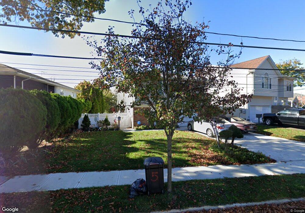
5 Lester Dr East Rockaway, NY 11518
Estimated Value: $497,000 - $660,777
--
Bed
2
Baths
1,112
Sq Ft
$521/Sq Ft
Est. Value
About This Home
This home is located at 5 Lester Dr, East Rockaway, NY 11518 and is currently estimated at $578,889, approximately $520 per square foot. 5 Lester Dr is a home located in Nassau County with nearby schools including East Rockaway Junior/Senior High School and Our Lady Of Peace School.
Ownership History
Date
Name
Owned For
Owner Type
Purchase Details
Closed on
Jan 22, 1996
Sold by
Rosen Jeffrey and Rosen Debra
Bought by
Mcgrory Mary
Current Estimated Value
Home Financials for this Owner
Home Financials are based on the most recent Mortgage that was taken out on this home.
Original Mortgage
$62,000
Outstanding Balance
$1,667
Interest Rate
7.25%
Estimated Equity
$577,222
Create a Home Valuation Report for This Property
The Home Valuation Report is an in-depth analysis detailing your home's value as well as a comparison with similar homes in the area
Home Values in the Area
Average Home Value in this Area
Purchase History
| Date | Buyer | Sale Price | Title Company |
|---|---|---|---|
| Mcgrory Mary | $168,000 | -- |
Source: Public Records
Mortgage History
| Date | Status | Borrower | Loan Amount |
|---|---|---|---|
| Open | Mcgrory Mary | $62,000 |
Source: Public Records
Tax History Compared to Growth
Tax History
| Year | Tax Paid | Tax Assessment Tax Assessment Total Assessment is a certain percentage of the fair market value that is determined by local assessors to be the total taxable value of land and additions on the property. | Land | Improvement |
|---|---|---|---|---|
| 2025 | $7,935 | $452 | $214 | $238 |
| 2024 | $1,672 | $455 | $215 | $240 |
| 2023 | $7,529 | $472 | $223 | $249 |
| 2022 | $7,529 | $472 | $223 | $249 |
| 2021 | $10,374 | $477 | $225 | $252 |
| 2020 | $7,173 | $623 | $380 | $243 |
| 2019 | $6,655 | $668 | $368 | $300 |
| 2018 | $6,599 | $738 | $0 | $0 |
| 2017 | $5,016 | $738 | $341 | $397 |
| 2016 | $6,701 | $738 | $341 | $397 |
| 2015 | $1,765 | $882 | $407 | $475 |
| 2014 | $1,765 | $882 | $407 | $475 |
| 2013 | $1,627 | $882 | $407 | $475 |
Source: Public Records
Map
Nearby Homes
- 320 Atlantic Ave Unit D2
- 320 Atlantic Ave Unit A12
- 320 Atlantic Ave Unit B4
- 315 Atlantic Ave
- 315 Atlantic Ave Unit 1A
- 315 Atlantic Ave Unit 2G
- 290 Atlantic Ave Unit 211
- 290 Atlantic Ave Unit 245
- 19 Plainfield Ave
- 390 Atlantic Ave
- 280 Atlantic Ave Unit 140
- 35 Ryder Ave
- 1 George Place
- 10 Grenville Ct
- 1 Alexine Ave
- 41 Carman Ave
- 39 Munson Place
- 6 Ryder Place
- 107 Melrose Ave
- 169 Spencer Ave
- 1 Lester Dr
- 9 Lester Dr
- 13 Lester Dr
- 17 Woods Ave
- 21 Woods Ave
- 15 Woods Ave
- 338 Atlantic Ave
- 336 Atlantic Ave
- 6 Lester Dr
- 340 Atlantic Ave Unit 342
- 344 Atlantic Ave
- 27 Woods Ave
- 348 Atlantic Ave
- 29 Woods Ave
- 62 3rd St
- 31 Woods Ave
- 320 Alantic Ave Unit A-1
- 320 Atlantic Ave Unit E6
- 320 Atlantic Ave Unit B1
- 320 Atlantic Ave Unit A10