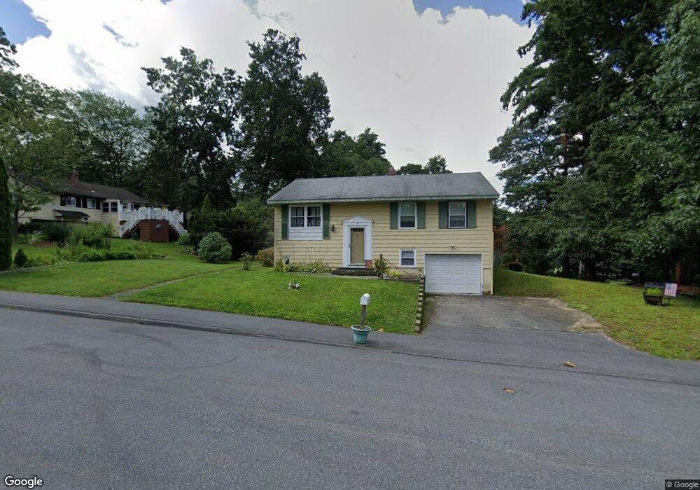
5 Libby Ave Marlborough, MA 01752
Estimated Value: $465,238 - $604,000
3
Beds
2
Baths
936
Sq Ft
$581/Sq Ft
Est. Value
About This Home
This home is located at 5 Libby Ave, Marlborough, MA 01752 and is currently estimated at $543,560, approximately $580 per square foot. 5 Libby Ave is a home located in Middlesex County with nearby schools including Marlborough High School, New Covenant Christian School, and Glenhaven Academy - JRI School.
Ownership History
Date
Name
Owned For
Owner Type
Purchase Details
Closed on
Oct 10, 1997
Sold by
R&Y Rt and Dekroon Ronald T
Bought by
Manory Patricia A
Current Estimated Value
Home Financials for this Owner
Home Financials are based on the most recent Mortgage that was taken out on this home.
Original Mortgage
$90,000
Outstanding Balance
$11,261
Interest Rate
7.52%
Mortgage Type
Purchase Money Mortgage
Estimated Equity
$532,299
Create a Home Valuation Report for This Property
The Home Valuation Report is an in-depth analysis detailing your home's value as well as a comparison with similar homes in the area
Home Values in the Area
Average Home Value in this Area
Purchase History
| Date | Buyer | Sale Price | Title Company |
|---|---|---|---|
| Manory Patricia A | $120,000 | -- |
Source: Public Records
Mortgage History
| Date | Status | Borrower | Loan Amount |
|---|---|---|---|
| Open | Manory Patricia A | $90,000 |
Source: Public Records
Tax History
| Year | Tax Paid | Tax Assessment Tax Assessment Total Assessment is a certain percentage of the fair market value that is determined by local assessors to be the total taxable value of land and additions on the property. | Land | Improvement |
|---|---|---|---|---|
| 2025 | $4,376 | $443,800 | $231,200 | $212,600 |
| 2024 | $4,240 | $414,100 | $210,100 | $204,000 |
| 2023 | $4,438 | $384,600 | $168,900 | $215,700 |
| 2022 | $4,355 | $331,900 | $160,900 | $171,000 |
| 2021 | $4,245 | $307,600 | $134,000 | $173,600 |
| 2020 | $4,160 | $293,400 | $127,600 | $165,800 |
| 2019 | $4,082 | $290,100 | $125,100 | $165,000 |
| 2018 | $4,020 | $274,800 | $99,600 | $175,200 |
| 2017 | $3,876 | $253,000 | $98,700 | $154,300 |
| 2016 | $3,734 | $243,400 | $98,700 | $144,700 |
| 2015 | $3,584 | $227,400 | $106,000 | $121,400 |
Source: Public Records
Map
Nearby Homes
- 40 Sheridan Rd
- 616 Boston Post Rd E Unit 9
- 24 Wilson St Unit 4
- 688 Boston Post Rd E Unit 304
- 688 Boston Post Rd E Unit 103
- 244 Robert Rd
- 50 Mustang Ave
- 70 Victoria Ln
- 32 Ethel
- 181 Boston Post Rd E Unit 26
- 181 Boston Post Rd E Unit 64
- 79 Royce Rd
- 28 Ruth Dr
- 53 Wagon Hill Rd
- 849 Boston Post Rd E Unit 9F
- 620 Farm Rd
- 20 Virginia Ave
- 70 Phelps St
- 38 Airport Blvd
- 48 Cook Ln
Your Personal Tour Guide
Ask me questions while you tour the home.