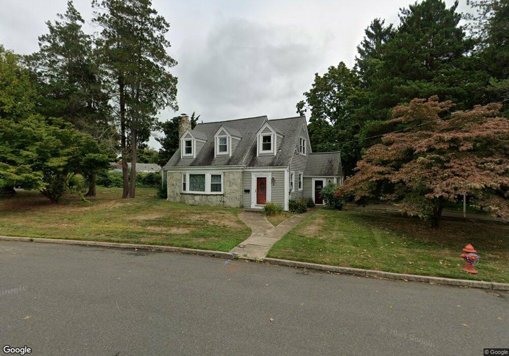
5 Lincoln Cir E Red Bank, NJ 07701
New Monmouth NeighborhoodEstimated Value: $904,000 - $967,000
3
Beds
3
Baths
2,120
Sq Ft
$436/Sq Ft
Est. Value
About This Home
This home is located at 5 Lincoln Cir E, Red Bank, NJ 07701 and is currently estimated at $924,852, approximately $436 per square foot. 5 Lincoln Cir E is a home located in Monmouth County with nearby schools including River Plaza Elementary School, Thompson Middle School, and Middletown - South High School.
Ownership History
Date
Name
Owned For
Owner Type
Purchase Details
Closed on
Jun 22, 2005
Sold by
Macconnell Brent
Bought by
Segall Warren and Segall Cara
Current Estimated Value
Purchase Details
Closed on
May 18, 1998
Sold by
Sole Brendan
Bought by
Macconnell Brent and Macconnell Caren
Home Financials for this Owner
Home Financials are based on the most recent Mortgage that was taken out on this home.
Original Mortgage
$190,000
Interest Rate
7.05%
Mortgage Type
Purchase Money Mortgage
Create a Home Valuation Report for This Property
The Home Valuation Report is an in-depth analysis detailing your home's value as well as a comparison with similar homes in the area
Home Values in the Area
Average Home Value in this Area
Purchase History
| Date | Buyer | Sale Price | Title Company |
|---|---|---|---|
| Segall Warren | $502,500 | -- | |
| Macconnell Brent | $238,000 | -- |
Source: Public Records
Mortgage History
| Date | Status | Borrower | Loan Amount |
|---|---|---|---|
| Previous Owner | Macconnell Brent | $190,000 |
Source: Public Records
Tax History Compared to Growth
Tax History
| Year | Tax Paid | Tax Assessment Tax Assessment Total Assessment is a certain percentage of the fair market value that is determined by local assessors to be the total taxable value of land and additions on the property. | Land | Improvement |
|---|---|---|---|---|
| 2025 | $12,048 | $810,800 | $478,700 | $332,100 |
| 2024 | $12,602 | $732,400 | $406,400 | $326,000 |
| 2023 | $12,602 | $725,100 | $408,000 | $317,100 |
| 2022 | $10,999 | $628,700 | $326,700 | $302,000 |
| 2021 | $10,999 | $528,800 | $260,200 | $268,600 |
| 2020 | $10,504 | $491,300 | $228,800 | $262,500 |
| 2019 | $10,309 | $488,100 | $228,800 | $259,300 |
| 2018 | $10,315 | $476,000 | $228,800 | $247,200 |
| 2017 | $9,999 | $456,800 | $214,100 | $242,700 |
| 2016 | $9,519 | $446,700 | $214,100 | $232,600 |
| 2015 | $9,744 | $441,500 | $214,100 | $227,400 |
| 2014 | $9,095 | $401,900 | $194,100 | $207,800 |
Source: Public Records
Map
Nearby Homes
- 79 Lake Shore Dr
- 67 Victoria Place
- 8 Cherry St
- 390 Conover Place
- 398 Conover Place
- 130 Bodman Place Unit 15
- 130 Bodman Place Unit 8
- 233 Conover Ln
- 928 Park Place
- 839 Arthur Dr
- 833 Lincoln St
- 28 Riverside Ave Unit 2G
- 28 Riverside Ave Unit 4g
- 28 Riverside Ave Unit 10h
- 28 Riverside Ave Unit 1G
- 13 Applegate St
- 126 Manchester Ct
- 44 Monroe St
- 19 Manchester Ct
- 11 Manchester Ct
- 5 Lincoln Cir E
- 29 Lake Shore Dr
- 23 Lake Shore Dr
- 3 Lincoln Place
- 17 Lincoln Cir E
- 12 Lincoln Cir E
- 4 Lincoln Place
- 21 Lincoln Cir E
- 21 Lincoln Cir E Unit A
- 15 Lake Shore Dr
- 20 Lincoln Cir E
- 10 Lincoln Cir W
- 17 Lincoln Cir W
- 43 Lake Shore Dr
- 25 Lincoln Cir E
- 67 Lake Shore Dr
- 24 Lincoln Cir E
- 20 Lake Shore Dr
- 139 Crescent Dr
- 26 Lake Shore Dr