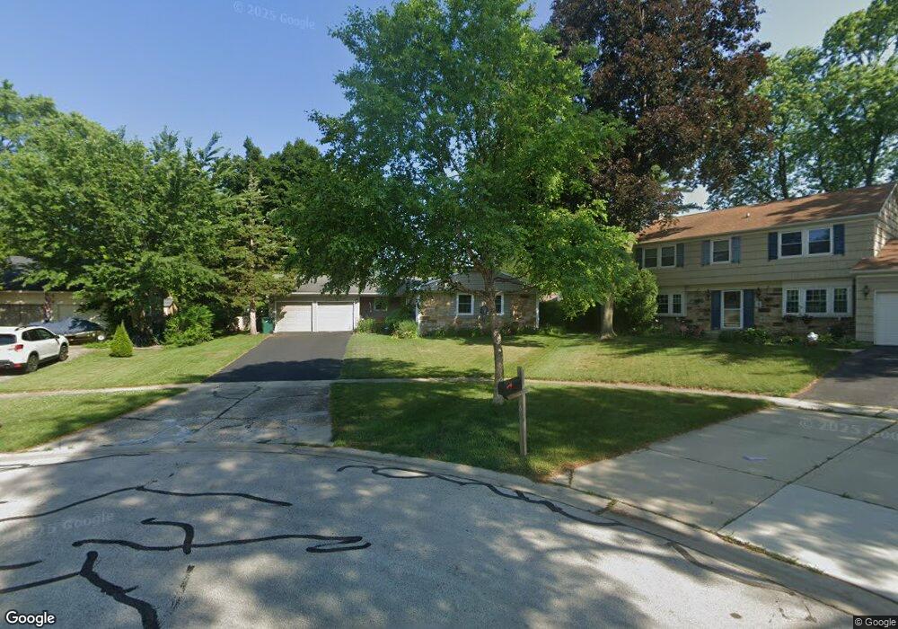
5 Longwood Ct Buffalo Grove, IL 60089
South Buffalo Grove NeighborhoodEstimated Value: $445,903 - $471,000
4
Beds
2
Baths
1,569
Sq Ft
$292/Sq Ft
Est. Value
About This Home
This home is located at 5 Longwood Ct, Buffalo Grove, IL 60089 and is currently estimated at $457,476, approximately $291 per square foot. 5 Longwood Ct is a home located in Cook County with nearby schools including Henry W Longfellow Elementary School, Cooper Middle School, and Buffalo Grove High School.
Ownership History
Date
Name
Owned For
Owner Type
Purchase Details
Closed on
Apr 9, 2001
Sold by
Maxwell Wilfred W
Bought by
Woodhead Charles P and Woodhead Lidia Marta
Current Estimated Value
Home Financials for this Owner
Home Financials are based on the most recent Mortgage that was taken out on this home.
Original Mortgage
$200,000
Outstanding Balance
$73,343
Interest Rate
6.95%
Estimated Equity
$384,133
Create a Home Valuation Report for This Property
The Home Valuation Report is an in-depth analysis detailing your home's value as well as a comparison with similar homes in the area
Home Values in the Area
Average Home Value in this Area
Purchase History
| Date | Buyer | Sale Price | Title Company |
|---|---|---|---|
| Woodhead Charles P | $255,000 | -- |
Source: Public Records
Mortgage History
| Date | Status | Borrower | Loan Amount |
|---|---|---|---|
| Open | Woodhead Charles P | $200,000 |
Source: Public Records
Tax History Compared to Growth
Tax History
| Year | Tax Paid | Tax Assessment Tax Assessment Total Assessment is a certain percentage of the fair market value that is determined by local assessors to be the total taxable value of land and additions on the property. | Land | Improvement |
|---|---|---|---|---|
| 2024 | $9,501 | $33,001 | $7,079 | $25,922 |
| 2023 | $9,108 | $33,001 | $7,079 | $25,922 |
| 2022 | $9,108 | $33,001 | $7,079 | $25,922 |
| 2021 | $8,420 | $27,162 | $4,522 | $22,640 |
| 2020 | $8,272 | $27,162 | $4,522 | $22,640 |
| 2019 | $8,262 | $30,114 | $4,522 | $25,592 |
| 2018 | $8,618 | $28,460 | $3,932 | $24,528 |
| 2017 | $8,480 | $28,460 | $3,932 | $24,528 |
| 2016 | $8,154 | $28,460 | $3,932 | $24,528 |
| 2015 | $6,646 | $22,186 | $3,342 | $18,844 |
| 2014 | $6,554 | $22,186 | $3,342 | $18,844 |
| 2013 | $6,040 | $22,186 | $3,342 | $18,844 |
Source: Public Records
Map
Nearby Homes
- 921 Bernard Dr
- 535 Estate Dr
- 571 Estate Dr
- 859 Beechwood Rd
- 720 Weidner Rd Unit 302
- 669 White Pine Rd
- 820 Weidner Rd Unit 4013
- 820 Weidner Rd Unit 409
- 705 Grove Dr Unit 101
- 665 Thornwood Dr
- 310 Rosewood Ave
- 715 W Whiting Ln
- 751 W Happfield Dr Unit 30
- 715 W Happfield Dr
- 812 W Whiting Ln
- 811 W Nichols Rd
- 3451 N Carriageway Dr Unit 503
- 18 E Heritage Ct
- 1112 Auburn Ln
- 1115 Miller Ln Unit 104