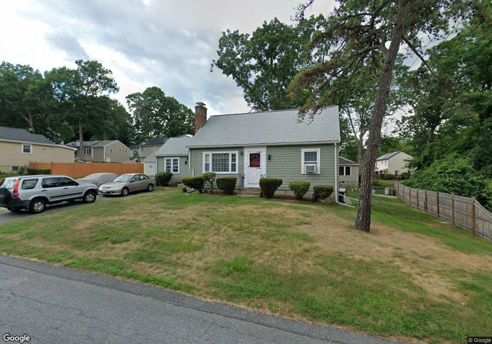
5 Lookout Ave Natick, MA 01760
Estimated Value: $655,000 - $870,000
3
Beds
1
Bath
1,401
Sq Ft
$536/Sq Ft
Est. Value
About This Home
This home is located at 5 Lookout Ave, Natick, MA 01760 and is currently estimated at $750,769, approximately $535 per square foot. 5 Lookout Ave is a home located in Middlesex County with nearby schools including Natick High School, J F Kennedy Middle School, and Johnson Elementary School.
Ownership History
Date
Name
Owned For
Owner Type
Purchase Details
Closed on
Aug 2, 2001
Sold by
Evers Betty G
Bought by
Gallo James D and Evers Patricia G
Current Estimated Value
Home Financials for this Owner
Home Financials are based on the most recent Mortgage that was taken out on this home.
Original Mortgage
$145,000
Outstanding Balance
$56,521
Interest Rate
7.14%
Mortgage Type
Purchase Money Mortgage
Estimated Equity
$694,248
Create a Home Valuation Report for This Property
The Home Valuation Report is an in-depth analysis detailing your home's value as well as a comparison with similar homes in the area
Home Values in the Area
Average Home Value in this Area
Purchase History
| Date | Buyer | Sale Price | Title Company |
|---|---|---|---|
| Gallo James D | $250,000 | -- |
Source: Public Records
Mortgage History
| Date | Status | Borrower | Loan Amount |
|---|---|---|---|
| Open | Gallo James D | $145,000 |
Source: Public Records
Tax History Compared to Growth
Tax History
| Year | Tax Paid | Tax Assessment Tax Assessment Total Assessment is a certain percentage of the fair market value that is determined by local assessors to be the total taxable value of land and additions on the property. | Land | Improvement |
|---|---|---|---|---|
| 2025 | $7,335 | $613,300 | $428,000 | $185,300 |
| 2024 | $7,053 | $575,300 | $402,800 | $172,500 |
| 2023 | $7,052 | $557,900 | $387,400 | $170,500 |
| 2022 | $6,806 | $510,200 | $352,000 | $158,200 |
| 2021 | $6,537 | $480,300 | $331,900 | $148,400 |
| 2020 | $6,331 | $465,200 | $316,800 | $148,400 |
| 2019 | $5,913 | $465,200 | $316,800 | $148,400 |
| 2018 | $5,477 | $419,700 | $301,700 | $118,000 |
| 2017 | $4,910 | $364,000 | $257,100 | $106,900 |
| 2016 | $4,641 | $342,000 | $236,100 | $105,900 |
| 2015 | $4,608 | $333,400 | $236,100 | $97,300 |
Source: Public Records
Map
Nearby Homes
- 40 Silver Hill Ln Unit 4
- 46 Silver Hill Ln Unit 1
- 36 Silver Hill Ln Unit 21
- 3 Silver Hill Ln Unit 6
- 26 Wellesley Ave Unit B
- 28 Sylvester Rd
- 26 Walden Dr Unit 4
- 5 Lanes End
- 1 Proctor St
- 1 Fern St
- 50 Village Brook Ln Unit 4
- 51 Village Brook Ln Unit 16
- 1 Orchard View Cir Unit 1
- 21 Kelsey Rd
- 4 Village Rock Ln Unit 9
- 5 Village Rock Ln Unit 24
- 29 Village Rock Ln Unit 6
- 157 Mill St
- 26 Fairway Cir Unit 26
- 16 West St
- 9 Lookout Ave
- 4 Spooner Ave
- 6 Spooner Ave
- 12 Pinehurst Ave
- 6 Lookout Ave
- 10 Spooner Ave
- 8 Lookout Ave
- 11 Lookout Ave
- 10 Lookout Ave
- 12 Spooner Ave
- 5 Spooner Ave
- 5 Spooner Ave Unit 5
- 13 Lookout Ave
- 18 Pinehurst Ave
- 13 Pinehurst Ave
- 14 Spooner Ave
- 14 Lookout Ave
- 17 Pinehurst Ave
- 9 Spooner Ave
- 8 Pinehurst Ave