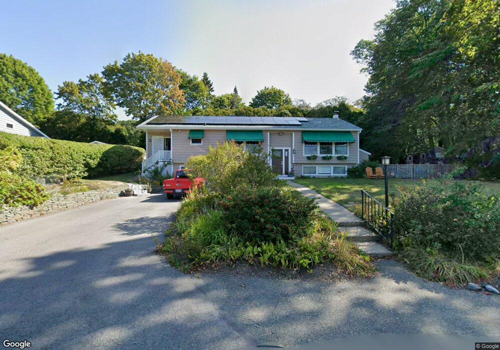
5 Lowe Dr Gloucester, MA 01930
Magnolia NeighborhoodEstimated Value: $703,000 - $1,087,000
3
Beds
2
Baths
1,242
Sq Ft
$683/Sq Ft
Est. Value
About This Home
This home is located at 5 Lowe Dr, Gloucester, MA 01930 and is currently estimated at $847,775, approximately $682 per square foot. 5 Lowe Dr is a home located in Essex County with nearby schools including West Parish, Ralph B O'maley Middle School, and Gloucester High School.
Ownership History
Date
Name
Owned For
Owner Type
Purchase Details
Closed on
Jan 10, 2025
Sold by
Welin Beth and Welin Jeffrey
Bought by
Welin Ft and Welin
Current Estimated Value
Purchase Details
Closed on
Oct 28, 2004
Sold by
Ic Enterprises Rt
Bought by
Clarke Assoc Llc
Purchase Details
Closed on
Sep 15, 1993
Sold by
Mccarthy John W and Mccarthy Marueen
Bought by
Christensen Carol and Welin Beth
Create a Home Valuation Report for This Property
The Home Valuation Report is an in-depth analysis detailing your home's value as well as a comparison with similar homes in the area
Home Values in the Area
Average Home Value in this Area
Purchase History
| Date | Buyer | Sale Price | Title Company |
|---|---|---|---|
| Welin Ft | -- | None Available | |
| Welin Ft | -- | None Available | |
| Clarke Assoc Llc | $210,000 | -- | |
| Christensen Carol | $175,000 | -- | |
| Clarke Assoc Llc | $210,000 | -- | |
| Christensen Carol | $175,000 | -- |
Source: Public Records
Mortgage History
| Date | Status | Borrower | Loan Amount |
|---|---|---|---|
| Previous Owner | Christensen Carol | $172,000 | |
| Previous Owner | Christensen Carol | $180,000 |
Source: Public Records
Tax History
| Year | Tax Paid | Tax Assessment Tax Assessment Total Assessment is a certain percentage of the fair market value that is determined by local assessors to be the total taxable value of land and additions on the property. | Land | Improvement |
|---|---|---|---|---|
| 2025 | $6,226 | $640,500 | $245,200 | $395,300 |
| 2024 | $6,361 | $653,700 | $233,500 | $420,200 |
| 2023 | $6,008 | $567,300 | $208,500 | $358,800 |
| 2022 | $5,568 | $474,700 | $177,200 | $297,500 |
| 2021 | $5,450 | $438,100 | $161,100 | $277,000 |
| 2020 | $5,382 | $436,500 | $161,100 | $275,400 |
| 2019 | $5,421 | $427,200 | $161,100 | $266,100 |
| 2018 | $5,160 | $399,100 | $161,100 | $238,000 |
| 2017 | $4,872 | $369,400 | $153,400 | $216,000 |
| 2016 | $4,795 | $352,300 | $153,900 | $198,400 |
| 2015 | $4,593 | $336,500 | $153,900 | $182,600 |
Source: Public Records
Map
Nearby Homes
- 2 Ocean Ave Unit 2K
- 53 Raymond St
- 24 Flume Rd
- 468 Summer St
- 450 Summer St
- 239 Summer St
- 8 Forest St
- 18 Lyndale Ave
- 5 Marshfield St
- 368 Essex Ave
- 4 Cobb Ave
- 100 Eastern Point Blvd
- 6 Smith Ln Unit 6
- 5 Lepage Ln
- 24 Cobblestone Ln Unit 603
- 45 School St
- 25 Masconomo St
- 8 Flatley Ave
- 5 Samoset Rd Unit B
- 145 Essex Ave Unit 402
- 8 Dalton Ave
- 7 Lowe Dr
- 3 Lowe Dr
- 10 Dalton Ave Unit 9
- 10 Dalton Ave Unit 8
- 10 Dalton Ave Unit 7
- 10 Dalton Ave Unit 6
- 10 Dalton Ave Unit 5
- 10 Dalton Ave Unit 4
- 10 Dalton Ave Unit 3
- 10 Dalton Ave Unit 2
- 10 Dalton Ave Unit 1
- 8 Lowe Dr
- 6 Lowe Dr
- 19 Dalton Ave
- 9 Lowe Dr
- 12 Norman Ave Unit 1
- 12 Norman Ave
- 4 Dalton Ave
- 2 Dalton Ave
Your Personal Tour Guide
Ask me questions while you tour the home.