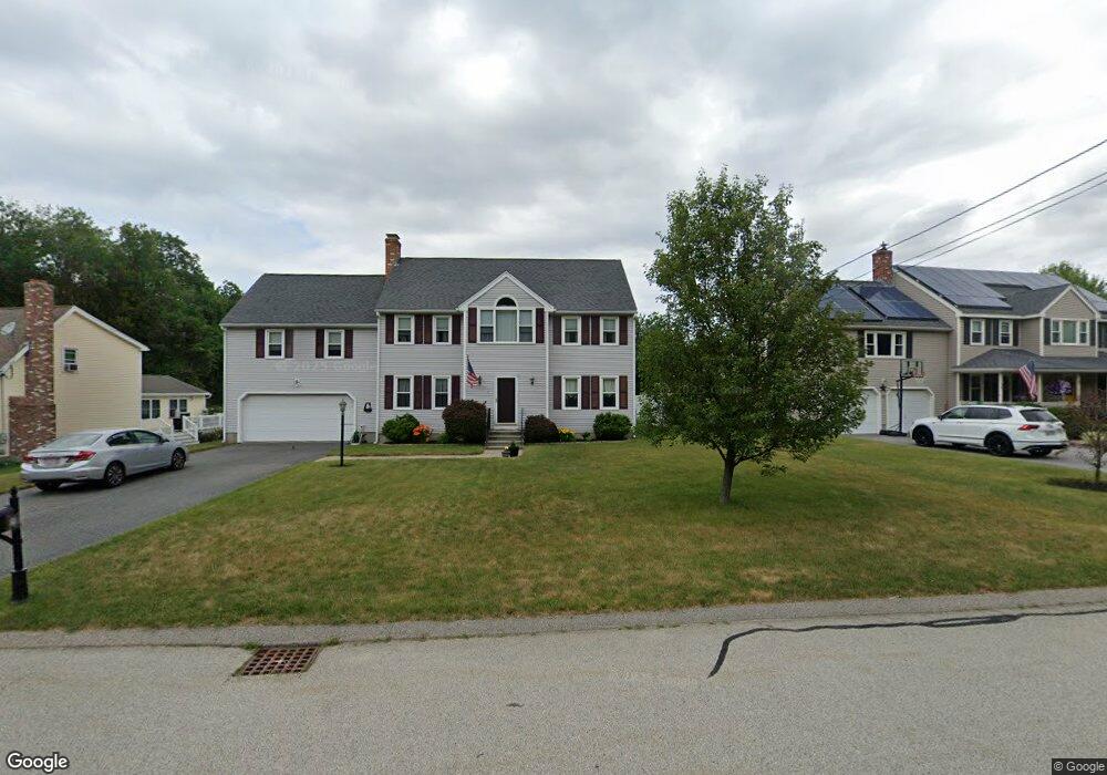
5 Lt Haynes Mem Dr Millbury, MA 01527
Estimated Value: $610,000 - $713,000
4
Beds
3
Baths
2,472
Sq Ft
$268/Sq Ft
Est. Value
About This Home
This home is located at 5 Lt Haynes Mem Dr, Millbury, MA 01527 and is currently estimated at $662,680, approximately $268 per square foot. 5 Lt Haynes Mem Dr is a home located in Worcester County with nearby schools including Elmwood Street Elementary School, Raymond E. Shaw Elementary School, and Millbury Junior/Senior High School.
Ownership History
Date
Name
Owned For
Owner Type
Purchase Details
Closed on
Jan 31, 2001
Sold by
Rollie Shepard Rt and Miles
Bought by
Goyette Todd S and Goyette Janice K
Current Estimated Value
Create a Home Valuation Report for This Property
The Home Valuation Report is an in-depth analysis detailing your home's value as well as a comparison with similar homes in the area
Home Values in the Area
Average Home Value in this Area
Purchase History
| Date | Buyer | Sale Price | Title Company |
|---|---|---|---|
| Goyette Todd S | $231,495 | -- | |
| Goyette Todd S | $231,495 | -- |
Source: Public Records
Mortgage History
| Date | Status | Borrower | Loan Amount |
|---|---|---|---|
| Open | Goyette Todd S | $162,000 | |
| Closed | Goyette Todd S | $173,000 | |
| Closed | Goyette Todd S | $183,800 |
Source: Public Records
Tax History Compared to Growth
Tax History
| Year | Tax Paid | Tax Assessment Tax Assessment Total Assessment is a certain percentage of the fair market value that is determined by local assessors to be the total taxable value of land and additions on the property. | Land | Improvement |
|---|---|---|---|---|
| 2025 | $8,168 | $610,000 | $113,400 | $496,600 |
| 2024 | $7,497 | $566,700 | $105,000 | $461,700 |
| 2023 | $6,872 | $475,600 | $73,700 | $401,900 |
| 2022 | $6,170 | $411,300 | $73,700 | $337,600 |
| 2021 | $6,076 | $393,800 | $73,700 | $320,100 |
| 2020 | $5,948 | $388,000 | $73,700 | $314,300 |
| 2019 | $5,538 | $349,400 | $73,300 | $276,100 |
| 2018 | $5 | $336,000 | $73,300 | $262,700 |
| 2017 | $5,126 | $312,000 | $73,300 | $238,700 |
| 2016 | $5,170 | $314,100 | $73,300 | $240,800 |
| 2015 | $5,007 | $304,200 | $74,600 | $229,600 |
| 2014 | $4,680 | $273,700 | $77,900 | $195,800 |
Source: Public Records
Map
Nearby Homes
- 12 Irene Ct
- 86 Wheelock Ave
- 2 Diane St
- 11 Westview Ave
- 3 May St
- 11 Maplewood Rd
- 1 Pineland Ave
- 27 A-B Grafton St
- 1 Broadmeadow Ave
- 3 Stidsen Way
- 90 Macarthur Dr
- 330 Millbury Ave
- 232 Weatherstone Dr
- 76 Weatherstone Dr
- 46 John Dr Unit 46
- 21 Lordvale Blvd Unit 406
- 5 Edward Dr
- 497 Massasoit Rd
- 12 Alstead Path
- 76 Samuel Dr
- 7 Lt Haynes Mem Dr
- 3 Lt Haynes Mem Dr
- 15 Lt Haynes Mem Dr
- 15 Lt William S Haynes Memorial Dr
- 15 Lt Haynes Dr
- 9 Lt Haynes Mem Dr
- 4 Lt William S Haynes Memorial Dr
- 4 Lt Haynes Dr
- 13 Lt Haynes Dr
- 8 Lt Haynes Mem Dr
- 8 Lt William S Haynes Memorial Dr
- 13 Lt William S Haynes Memor
- 13 Lt Haynes Mem Dr
- 6 Lt Haynes Mem Dr
- 11 Lt William S Haynes Memorial Dr
- 11 Lt Haynes Mem Dr
- 10 Lt Haynes Dr
- 10 Lt Wm S Haynes III Dr
- 10 Lt Haynes Mem Dr
- 10 Lt William S Haynes Memorial Dr