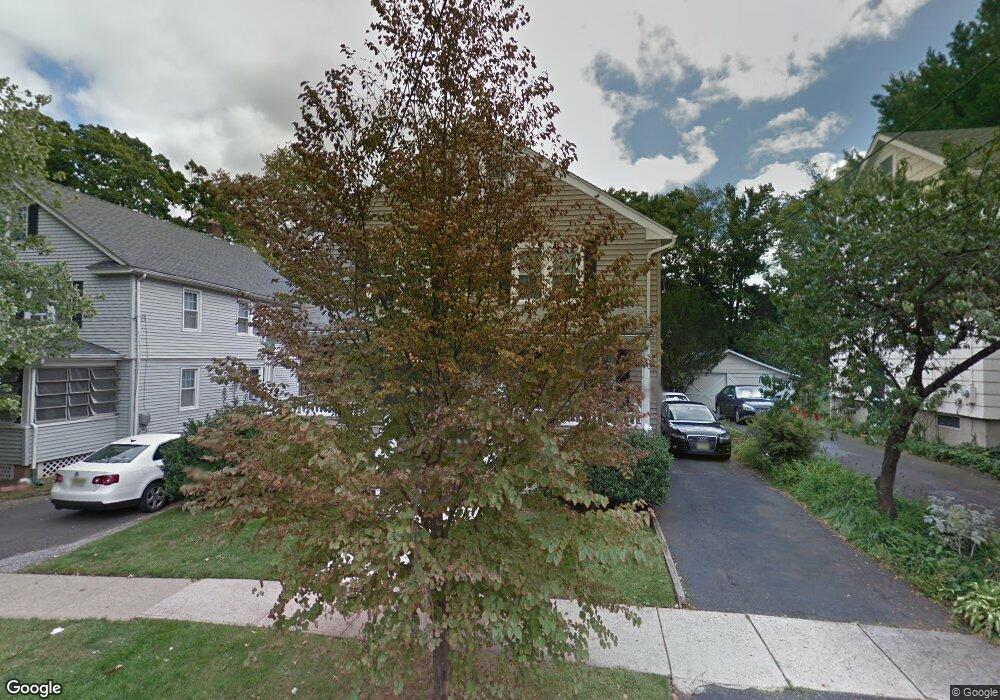
5 Lum Ave Chatham, NJ 07928
Estimated Value: $1,310,000 - $1,407,000
3
Beds
1
Bath
2,558
Sq Ft
$530/Sq Ft
Est. Value
About This Home
This home is located at 5 Lum Ave, Chatham, NJ 07928 and is currently estimated at $1,354,807, approximately $529 per square foot. 5 Lum Ave is a home located in Morris County with nearby schools including Chatham High School, St. Patrick School, and ECLC of New Jersey.
Ownership History
Date
Name
Owned For
Owner Type
Purchase Details
Closed on
Dec 3, 2019
Sold by
Avazis Peter G and Webb Amina
Bought by
Sectorsite Tower Assets Llc
Current Estimated Value
Purchase Details
Closed on
Oct 20, 2006
Sold by
Avazis Peter
Bought by
Avazis Peter and Webb Amina
Home Financials for this Owner
Home Financials are based on the most recent Mortgage that was taken out on this home.
Original Mortgage
$536,000
Interest Rate
1.25%
Mortgage Type
Adjustable Rate Mortgage/ARM
Purchase Details
Closed on
Jun 8, 1999
Sold by
Mehalik Claire
Bought by
Mehalik Eugene and Mehalik Claire
Create a Home Valuation Report for This Property
The Home Valuation Report is an in-depth analysis detailing your home's value as well as a comparison with similar homes in the area
Home Values in the Area
Average Home Value in this Area
Purchase History
| Date | Buyer | Sale Price | Title Company |
|---|---|---|---|
| Sectorsite Tower Assets Llc | $750,000 | Prestige Title Agency Inc | |
| Avazis Peter | -- | -- | |
| Mehalik Eugene | -- | -- |
Source: Public Records
Mortgage History
| Date | Status | Borrower | Loan Amount |
|---|---|---|---|
| Previous Owner | Avazis Peter | $536,000 |
Source: Public Records
Tax History Compared to Growth
Tax History
| Year | Tax Paid | Tax Assessment Tax Assessment Total Assessment is a certain percentage of the fair market value that is determined by local assessors to be the total taxable value of land and additions on the property. | Land | Improvement |
|---|---|---|---|---|
| 2025 | $14,772 | $912,400 | $465,800 | $446,600 |
| 2024 | $14,179 | $912,400 | $465,800 | $446,600 |
| 2023 | $14,179 | $912,400 | $465,800 | $446,600 |
| 2022 | $11,877 | $555,800 | $377,800 | $178,000 |
| 2021 | $11,877 | $555,800 | $377,800 | $178,000 |
| 2020 | $11,777 | $555,800 | $377,800 | $178,000 |
| 2019 | $11,694 | $555,800 | $377,800 | $178,000 |
| 2018 | $11,366 | $555,800 | $377,800 | $178,000 |
| 2017 | $11,038 | $555,800 | $377,800 | $178,000 |
| 2016 | $10,749 | $555,800 | $377,800 | $178,000 |
| 2015 | $10,621 | $555,800 | $377,800 | $178,000 |
| 2014 | $10,544 | $555,800 | $377,800 | $178,000 |
Source: Public Records
Map
Nearby Homes
- 17 Coleman Ave W
- 1 John St
- 5 Woodland Rd
- 30 Hillside Ave
- 47 Red Rd
- 128 Fairmount Ave
- 102 Center Ave
- 2 Duchamp Place
- 24 Bridge St
- 25 Roosevelt Ave
- 85 Kings Rd
- 151 Center Ave
- 3 Woodland Rd
- 380 Main St Unit19
- 111 N Summit Ave
- 44 Brooklake Rd
- 14 Schindler Ct Unit F27
- 11 Dellwood Ave
- 3 Durwood Place
- 47 Niles Ave