5 Lupine Ln Topsham, ME 04086
Estimated Value: $397,883 - $668,000
3
Beds
2
Baths
1,660
Sq Ft
$303/Sq Ft
Est. Value
About This Home
This home is located at 5 Lupine Ln, Topsham, ME 04086 and is currently estimated at $503,471, approximately $303 per square foot. 5 Lupine Ln is a home located in Sagadahoc County with nearby schools including Mt Ararat High School and St. John's Catholic School.
Ownership History
Date
Name
Owned For
Owner Type
Purchase Details
Closed on
Jun 10, 2008
Sold by
Powers Colin P and Powers Meghan C
Bought by
Graf Andrew L and Graf Stacey L
Current Estimated Value
Home Financials for this Owner
Home Financials are based on the most recent Mortgage that was taken out on this home.
Original Mortgage
$176,800
Outstanding Balance
$113,306
Interest Rate
6.11%
Mortgage Type
Purchase Money Mortgage
Estimated Equity
$390,165
Purchase Details
Closed on
Oct 18, 2005
Sold by
Linscott 4Th Joseph A and Linscott Karen G
Bought by
Powers Colin P and Barry Meghan C
Home Financials for this Owner
Home Financials are based on the most recent Mortgage that was taken out on this home.
Original Mortgage
$147,680
Interest Rate
5.78%
Mortgage Type
Unknown
Create a Home Valuation Report for This Property
The Home Valuation Report is an in-depth analysis detailing your home's value as well as a comparison with similar homes in the area
Home Values in the Area
Average Home Value in this Area
Purchase History
| Date | Buyer | Sale Price | Title Company |
|---|---|---|---|
| Graf Andrew L | -- | -- | |
| Powers Colin P | -- | -- |
Source: Public Records
Mortgage History
| Date | Status | Borrower | Loan Amount |
|---|---|---|---|
| Open | Graf Andrew L | $176,800 | |
| Previous Owner | Powers Colin P | $147,680 |
Source: Public Records
Tax History Compared to Growth
Tax History
| Year | Tax Paid | Tax Assessment Tax Assessment Total Assessment is a certain percentage of the fair market value that is determined by local assessors to be the total taxable value of land and additions on the property. | Land | Improvement |
|---|---|---|---|---|
| 2025 | $4,406 | $344,200 | $70,500 | $273,700 |
| 2024 | $4,243 | $339,400 | $65,700 | $273,700 |
| 2023 | $4,052 | $298,400 | $62,600 | $235,800 |
| 2022 | $3,852 | $267,100 | $60,400 | $206,700 |
| 2021 | $3,720 | $234,400 | $55,600 | $178,800 |
| 2020 | $3,826 | $214,200 | $55,600 | $158,600 |
| 2019 | $3,811 | $199,000 | $55,600 | $143,400 |
| 2018 | $3,534 | $188,700 | $50,000 | $138,700 |
| 2017 | $3,419 | $188,700 | $50,000 | $138,700 |
| 2016 | $3,303 | $183,600 | $50,000 | $133,600 |
| 2015 | $3,204 | $178,400 | $50,000 | $128,400 |
| 2014 | $3,024 | $174,500 | $50,000 | $124,500 |
| 2013 | $2,905 | $174,500 | $50,000 | $124,500 |
Source: Public Records
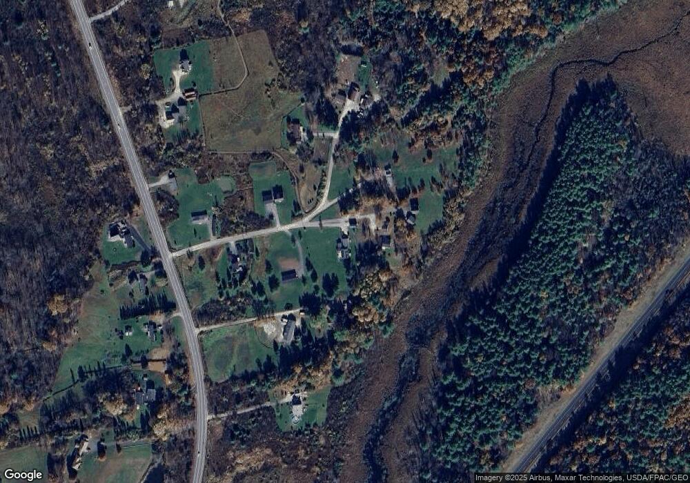
Map
Nearby Homes
- 210 Augusta Rd
- 428 Cathance Rd
- 314 Meadow Rd
- 75 Adams Landing Rd
- 17 Chestnut Dr
- 594 Middlesex Rd
- 34 Compass Ln
- 2 Haskell Cir
- 55 Munroe Ln
- 1 Birch Ridge Ave
- 1 Jeanne Dr
- 215 Ward Rd
- 13 Raspberry Ln
- Lot 11 Raspberry Ln
- Lot 12 Raspberry Ln
- 14 Raspberry Ln
- 26 Bay Park Dr
- 45A-A Hornbeck Cross
- 118 Main St
- 83 Bowdoin Pines Rd Unit 83
- 11 Lupine Ln
- 359 Augusta Rd
- 21 Freedom Ln Unit 1
- 19 Lupine Ln
- 33 Carons Corner
- 18 Carons Corner
- 0 Longview Ln
- 19 Carons Corner
- 9 Carons Corner
- 6 Carons Corner
- 341 Augusta Rd
- 9 Gemini Dr
- 384 Augusta Rd
- 10 Gemini Dr
- 370 Augusta Rd
- 350 Augusta Rd
- 335 Augusta Rd
- 449 Augusta Rd
- 332 Augusta Rd
- 460 Augusta Rd